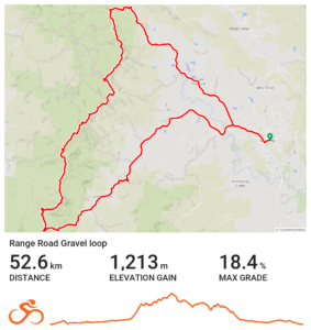
Goat Track Loop
An iconic ride for Brisbane bike riders. Do it on your gravel bike or mountain bike for the maximum fun.
User Rating

![]() (32 reviews)
(32 reviews)


User Rating
(3 reviews)
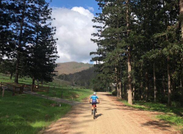
In the north-west of Brisbane there are plenty of adventures to be had by bike. This loop suits a gravel bike for those with a wide gear range, or a mountain bike. It is not too long but given the demands of the opening climb it deserves respect – and a very early start if tackled in the hotter months. This route was covered in more detail by Cyclist Magazine several years ago.
The route starts and finishes in Dayboro, where there is parking opposite the bakery, along with water, toilets and a parking area. There’s also a small supermarket and a myriad of cafes to enjoy post ride. Make sure you take enough water – there are no options to refill on the route. This also means you need to be self-sufficient for food and spares and injuries. So be prepared accordingly.
Are you a Bicycle Queensland member? Membership includes accident and public liability insurance coverage for all kinds of riding, including free legal advice after an accident. BQ Members save at a variety of retailers, and BQ Membership supports our advocacy work and this Where to Ride resource.
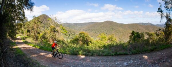
The ride follows Laceys Creek Road until it becomes Range Road near Raynbird Creek. The climb up the range has been regraded in the middle of 2025, but conditions may deteriorate after storms. The climb is steep and gets the sun early. The top third has more shade and once it levels off, you do swap sides of the ridge as you do a near hairpin.
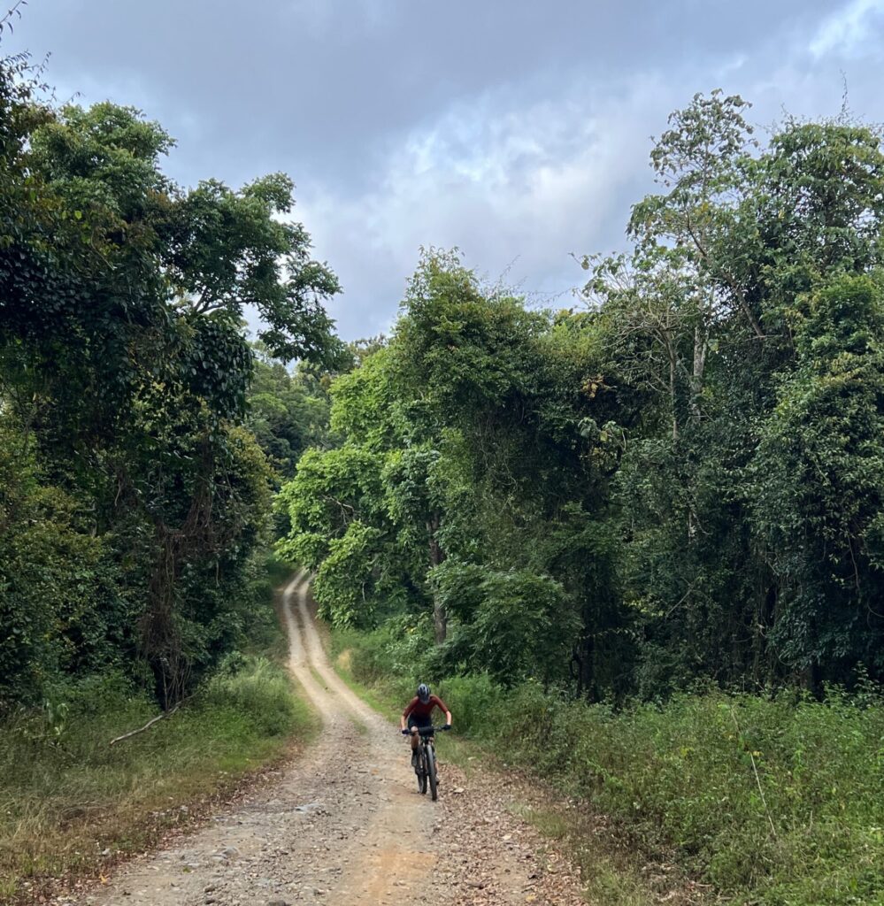
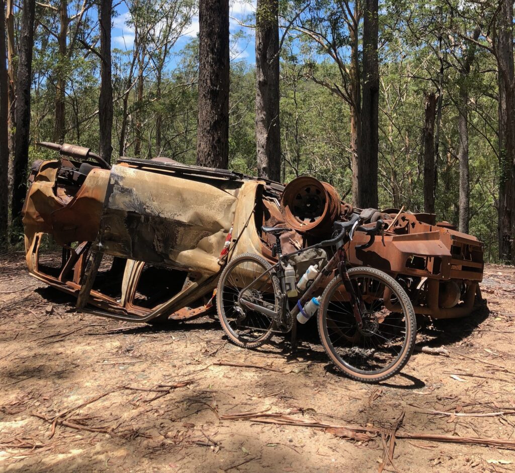
You’ll enjoy expansive views to your left, including glimpses of remnant rainforest – a sign of things to come. The road is open to 4WDs and motorbikes (or any vehicle choosing to go there) so be mindful of oncoming traffic. It does get quite rough as you approach Kluvers Lookout, which looks down on Laceys Creek Road, where you have come from. This is your high point for the day – physically and hopefully in other ways as well.
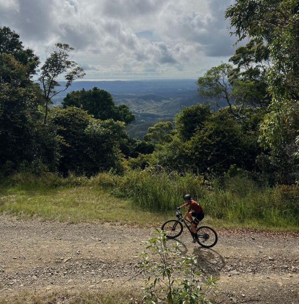
The descent from Kluvers can be rough on a gravel bike, so due caution is advised. From here the gradients are mostly more civil, but you cannot escape the feeling that you are riding along a bread knife. One you go up, it is time to go down again so you can go up again.
There are a number of spur trails, some for horses, some that head to Mt Mee – but stay on the ridgeline and on Range Road. When you reach a T intersection, take the right hand turn onto Chambers Road and down to Mt Pleasant. Turning left would take you to Mt Mee (eventually!)
Once on Mt Pleasant Road you are back on sealed road, which takes you all the way back to Dayboro. There are numerous small climbs, but overall it is a pretty valley road. Enjoy your time refuelling back in Dayboro!

This loop is a great way to get an overview for this part of the D’Aguilar Range. There are a number of longer distance rides that can start, or finish, at Dayboro, using Range Road.
An iconic ride for Brisbane bike riders. Do it on your gravel bike or mountain bike for the maximum fun.
User Rating
![]() (32 reviews)
(32 reviews)
The D\'Aguilar Range west of Brisbane is full of delights for bike riders and outdoors fans. From the rainforest walks near Mt...
User Rating
(3 reviews)
There are nearly endless different rides we can do. Rides that take us to new places, unique vistas and places of interest. T...
User Rating
![]() (13 reviews)
(13 reviews)