Goat Track Loop
An iconic ride for Brisbane bike riders. Do it on your gravel bike or mountain bike for the maximum fun.
User Rating

![]() (32 reviews)
(32 reviews)


User Rating
(3 reviews)
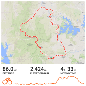
The D’Aguilar Range west of Brisbane is full of delights for bike riders and outdoors fans. From the rainforest walks near Mt Nebo, Mt Glorious and of course Mt Mee, through to gorgeous rock pools to explore. With few roads crossing the range, much of the exploration needs to be done off-road, on a series of old forest roads. Many are in exceptional condition, some are lost as the forest slowly recovers from being aggressively harvested.
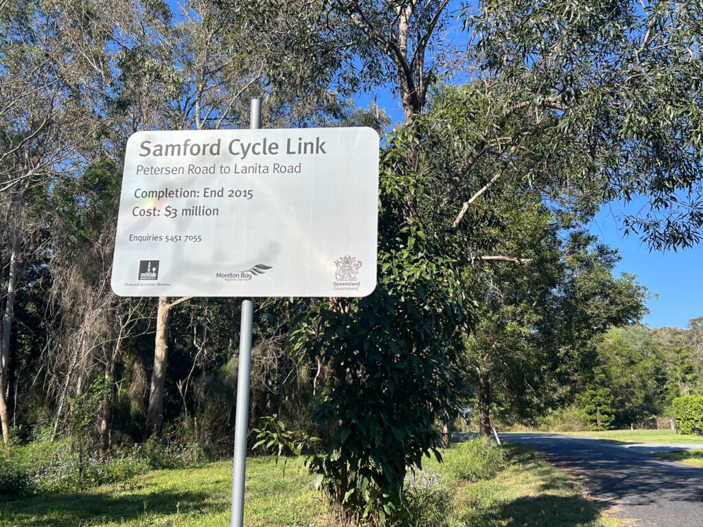
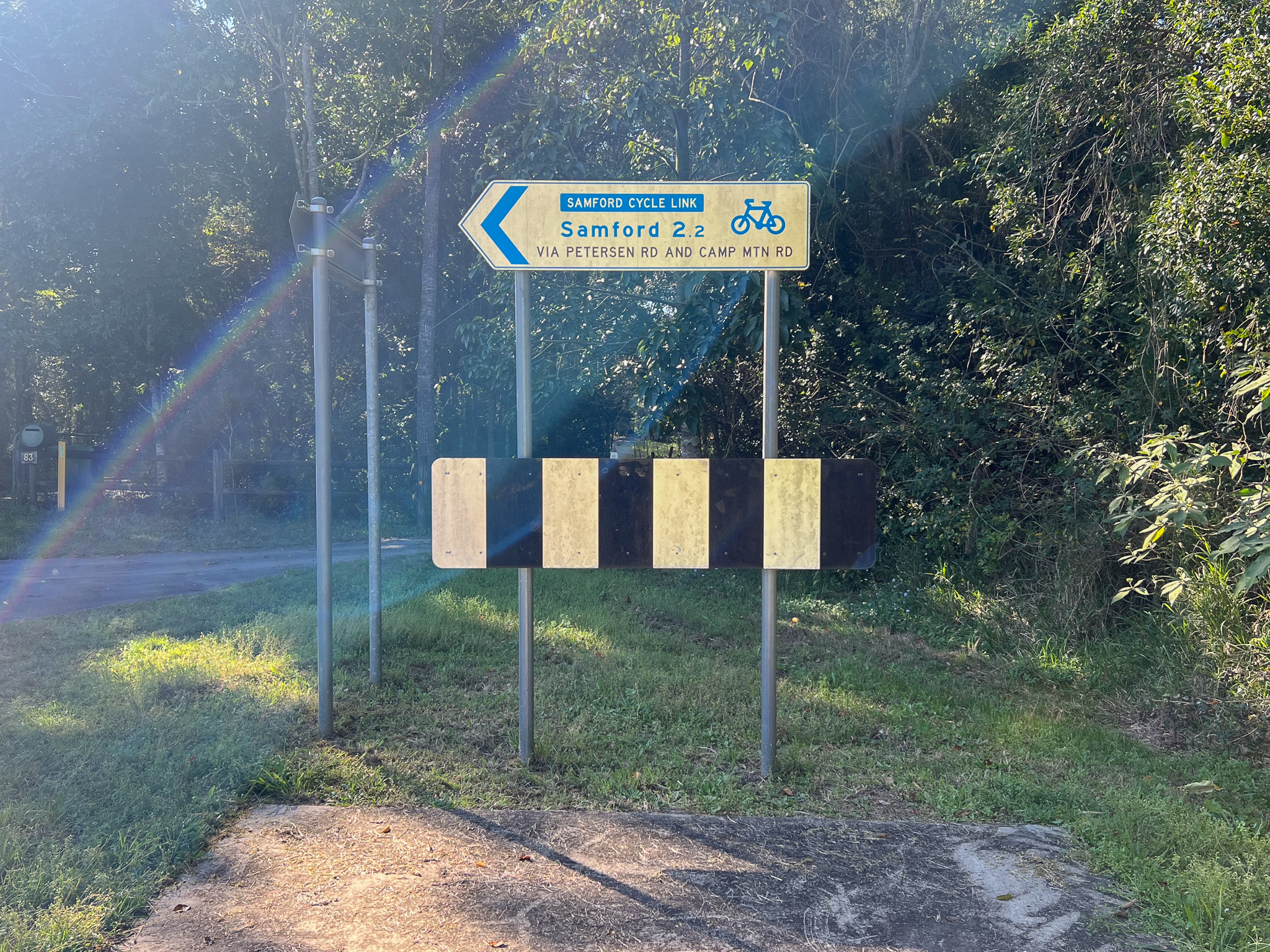
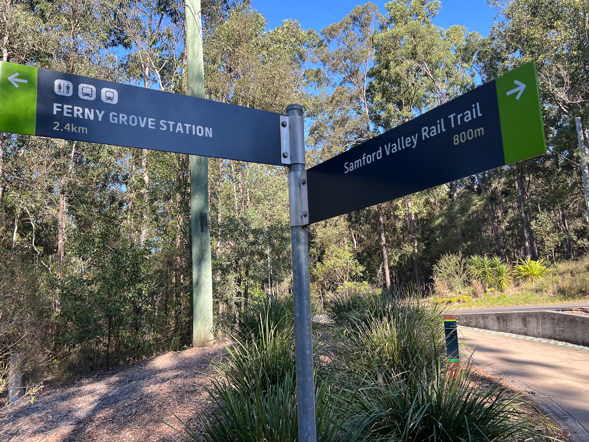
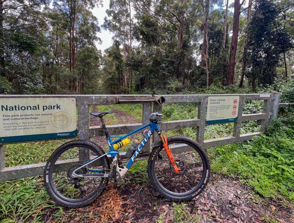
This loop, as shown, starts in Highvale, previously known as Highlands, near the base of the Goat Track in the Samford Valley. But depending where you are coming from, Samford Village is a more logical point to start if driving to Samford Valley. Alternatively, catch an early train to Ferny Grove and take the Ferny Grove Cycle Link through to Samford to join the route.
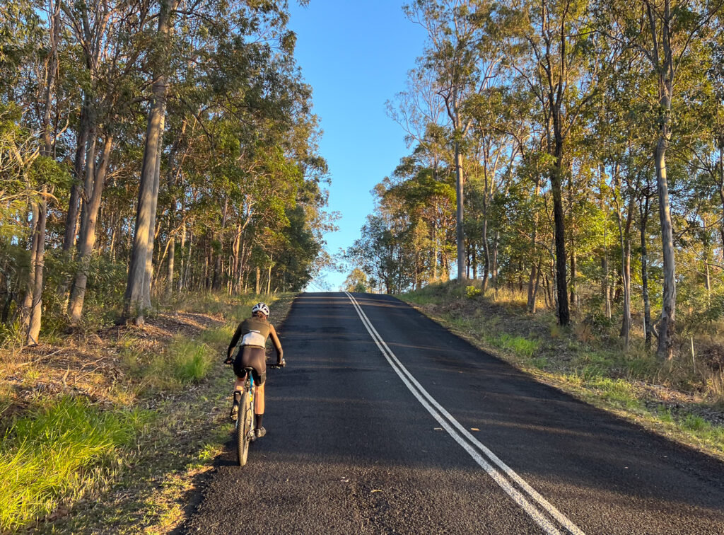
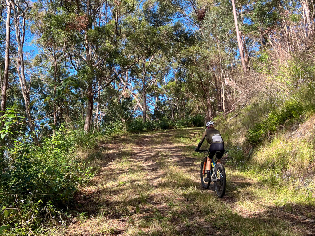
Much of this route is on the road, with care taken to avoid as much busy roads as possible. BQ recommends day time running lights when on the road. While only 10-15km is truly off-road, you still need an off-road capable bike. A gravel bike is fine, however the climbs are steep. A good cross-country mountain bike actually works very well on this route.
We started from the end of Macs Road off Mt Glorious Road – you can park near the cricket ground. We tackled the route anti-clockwise, which backloads the climbing into the route. If you want to climb first, climb the Goat Track to get atop the D’Aguilar Range – as opposed to following the route which is traced from descending Mt Glorious Road.
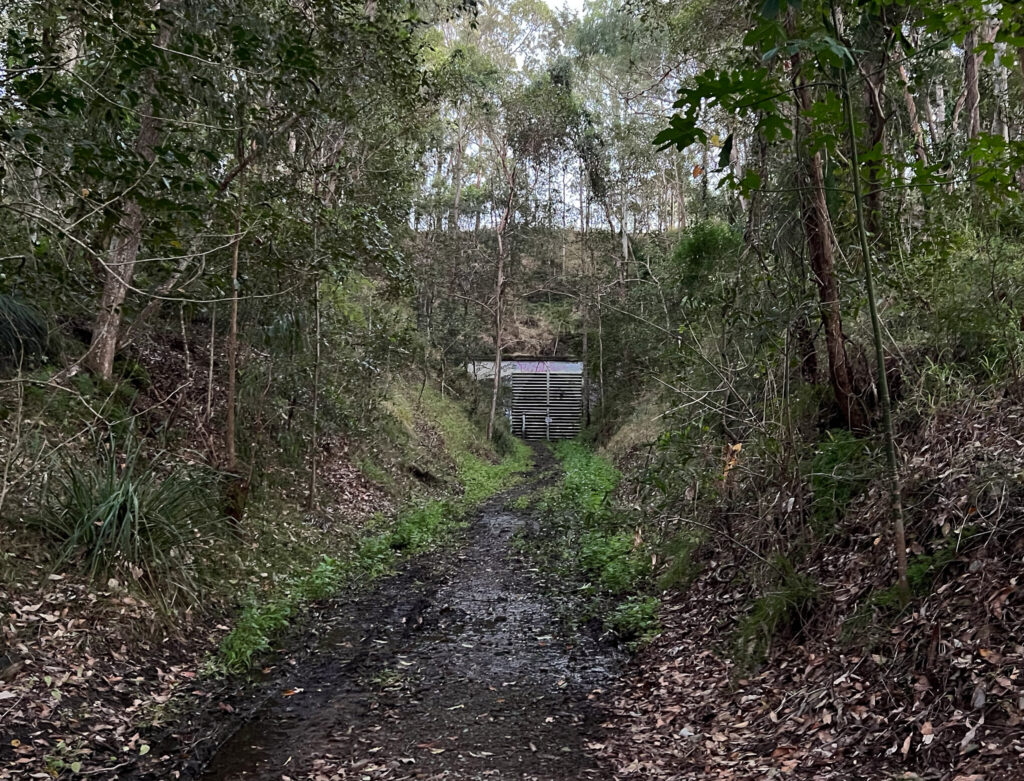
We rode behind Samford Valley, past the Showgrounds and along Mt O’Reilly Road and Greggs Road, turning onto the brief rail trail tha heads to Yugar. This can be wet after heavy rain, and has a steep climb out next to where the old rail tunnel is. It’s now a bat research centre! Although previously the cutting, on the other side, was used as a tip. This rail line to Dayboro and on to Petrie was closed in 1955. Much of the corridor has been resumed by private land owners so unfortunately a rail trail from Ferny Grove to Petrie will never be possible.
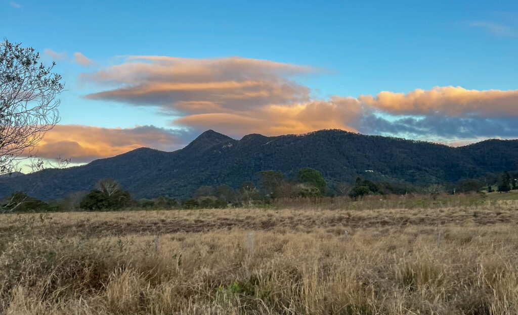
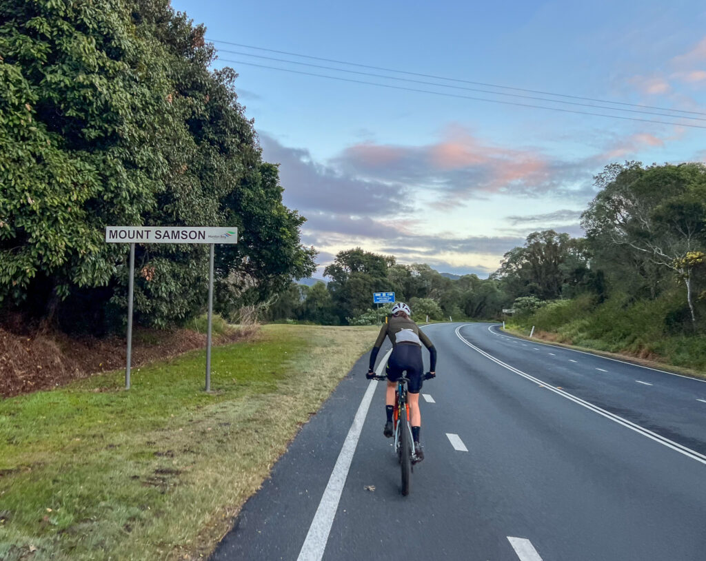
Join the road to Dayboro, which has fair shoulder and a good road surface until Winn Road. While the speed limit has recently been revised, it is still a fast road. The view to your left has the twin peaks of Mt Samson, and the range behind holds a couple more rides for adventurous mountain bikers and gravel riders. This route will track the ridgeline behind the ridge you can see.
Between Winn Road and Kriesch Road the road ends at the white line. This is the most exposed section for riders – a frequent riding route but best ridden with a high level of awareness of other road users.
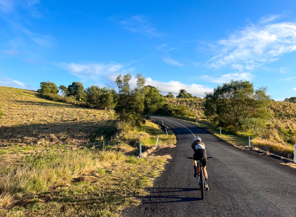
Turning left onto Kriesch Road you climb up and get a great view over Lake Samsonvale and to the coast, before descending back to the main road. You can bypass this sidetrip but it does take you away from traffic. On the main road again you are back to having a good shoulder, and shortly turn left onto Kobble Creek road. Climb up the valley and turn left onto Watson Road toward Armstrong Creek Road, and follow through farmland, to Lees Crossing Road, over weirs and into Dayboro via Laidlaw St.
Henry Bradley Park has a toilet, water – and even a mini pump track if you’re so inclined. Otherwise Dayboro has the Dayboro Bakery, a super market, more toilets and water and several cafes. This is your last chance to resupply for food and water until Mt Glorious Village. So fill up accordingly.
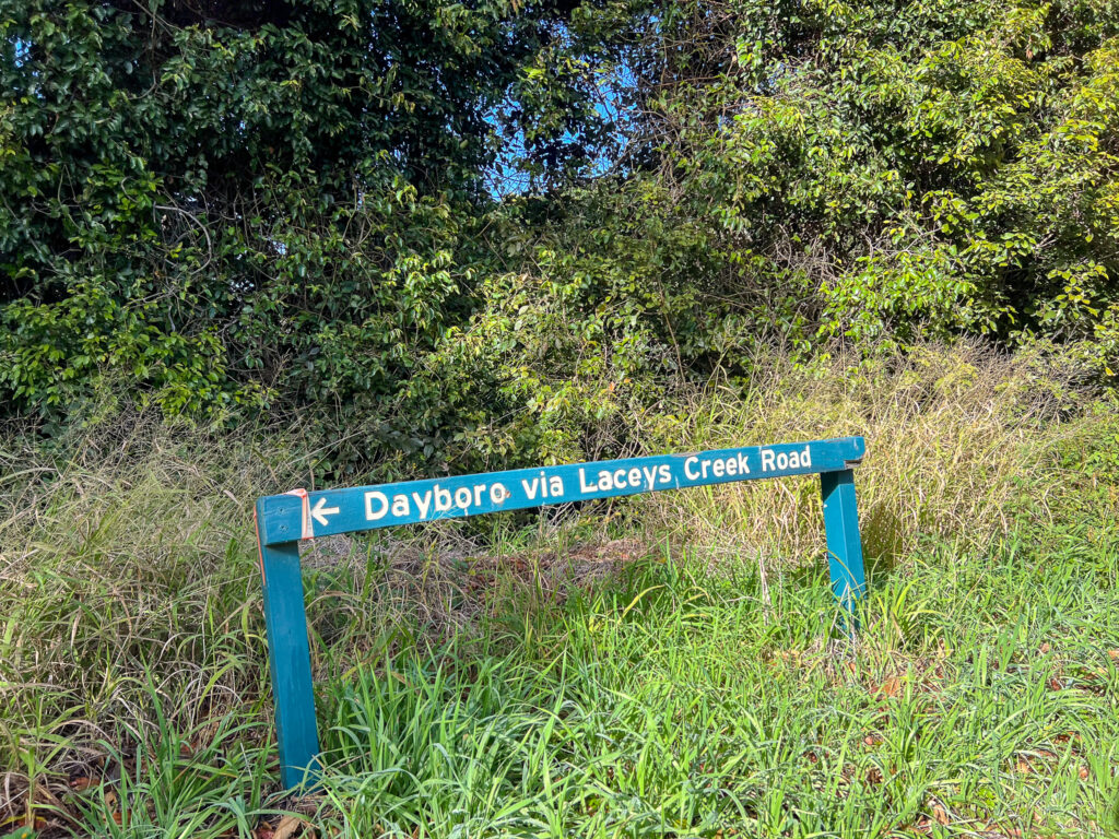
Leave Dayboro past the pub and up McKenzie street, before turning left down Laceys Creek Road at the top of the hill. Ignore the ‘No Through Road’ sign – that won’t apply where you’re going!
The road climbs up the valley alongside Laceys Creek and through larger land holdings. To your right you can see the D’Aguilar National Park along the ridgelines, and you may spot Kluvers Tower in the distance – a telecommunications tower off Range Road, surrounded by rainforest. You can amend this route by taking the right hand up Wirth Road once past Costello Road, and going past Kluvers. It is not a short cut and is not easy – but quite spectacular.
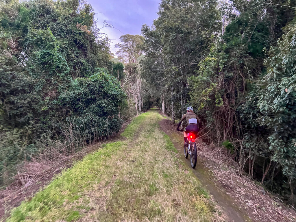
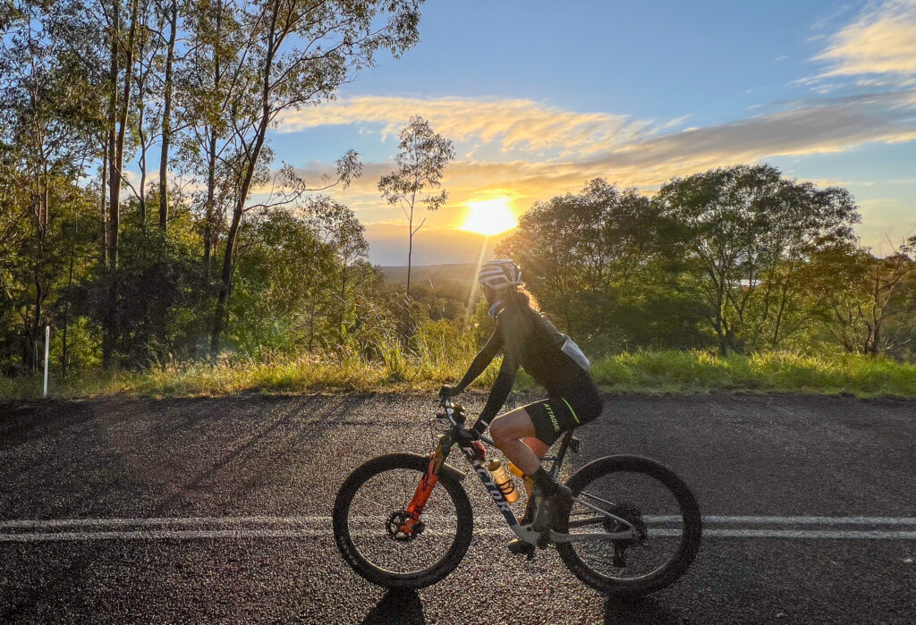
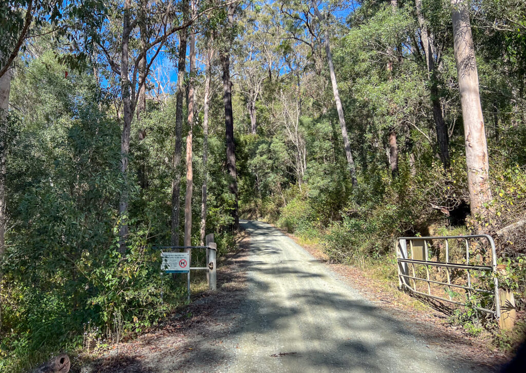
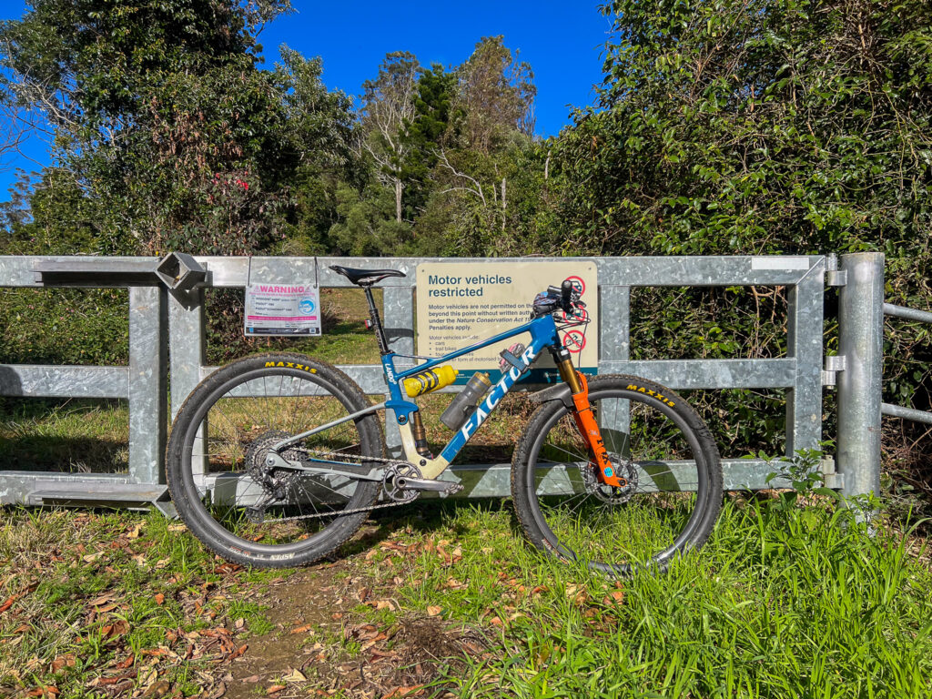
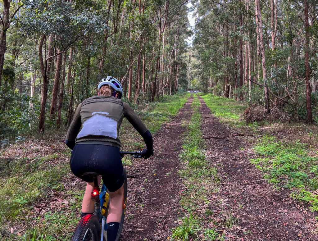
As the road narrows stay aware of oncoming traffic, as the road is barely one lane wide. Once across the new causeway, turn right to stay on Laceys Creek Road. Soon enough you are climbing, and will turn right into the climb at a small dirt carpark. This is a popular point for motorbikes to unload and also a carpark for the singletrack descent that finishes nearby – known as both the Dayboro DH and Laceys Creek enduro trail. Turn right and climb upthrough the National Park gates – this is a sustained climb on Range Road. Beware of 4WD and motorbike traffic – or mountain bike shuttles.
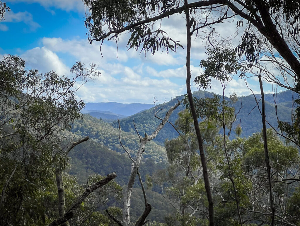
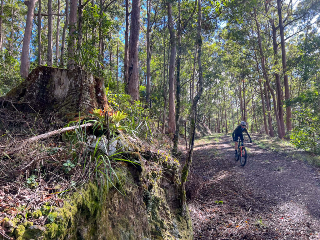
Once you pass the singletrack entrance at the top, you have some reprieve and typically cooler air through a remnant rainforest pocket. The view into the valley to your left shows how much you have climbed, and the hill in front of you is known as Bulls Knob – you’ll be flanking that shortly.
At the gate, climb over. the dirt road continues to the right and is another route option to Kluvers, Mt Mee, Mt Pleasant and even Kilcoy and Jimna – adventures for another day.
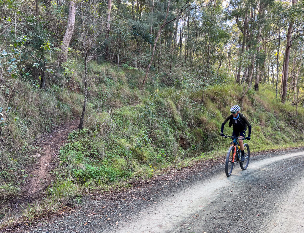
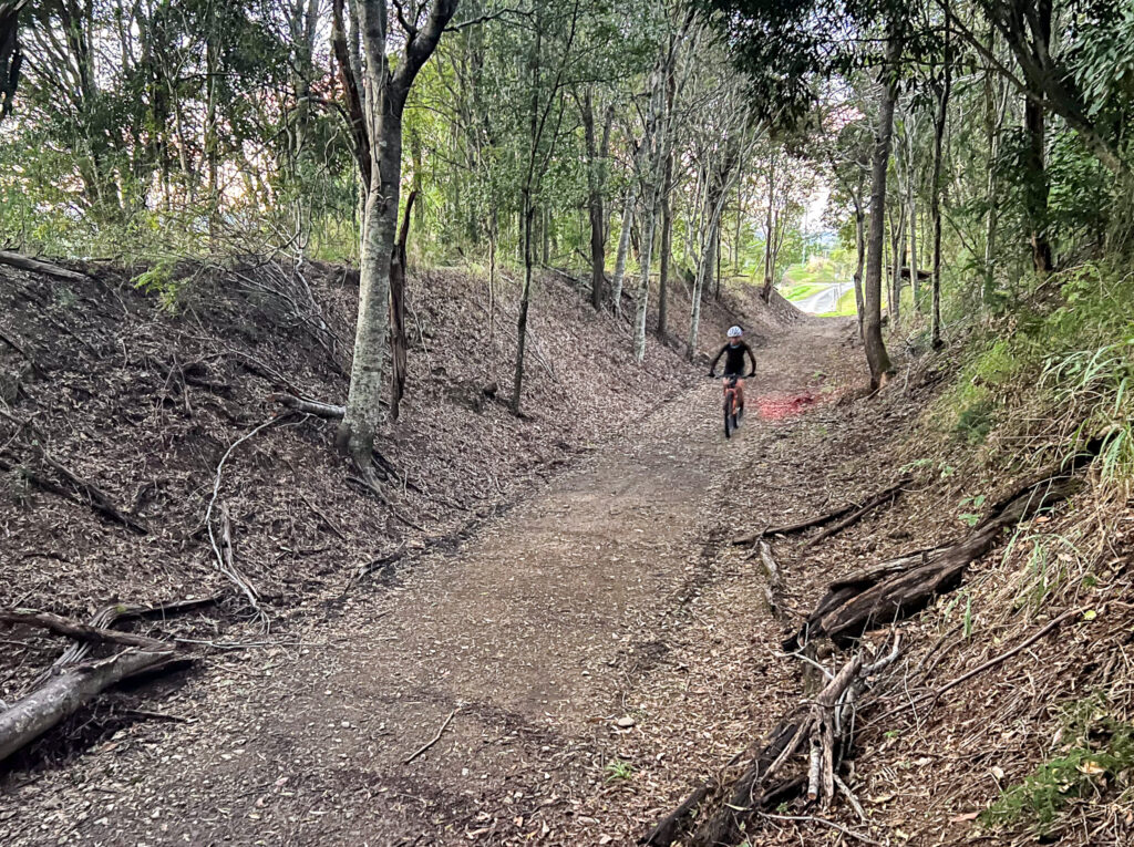
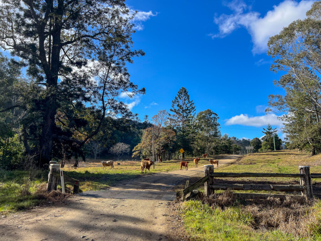
This is the point to tell you – you are not at the top. The firetrail is overall in excellent condition, it just has soft grass which makes the next section pretty tiring. You are mostly climbing until close to the corner of Mt Sim Jue Road. You really are tracing a ridge line, so expect plenty of ups and downs now. There are no washouts, water bars or gates. There is occasionally some rockfall and blowdown and the odd rogue cow or startled deer – so pay attention.
You will have a view to Lake Wivenhoe, and after more ups and downs and ups agains – you climb towards the gate on the Northbrook Parkway. This is just below Wivenhoe Outlook on the dark side of Mt Glorious. Pop your lights back on, jump the fence and get pedalling.
The road climb tops out near Tennison Woods at close to 780m, and you then return to Mt Glorious Village. There are toilets at the Maila picnic area (and tank water, which the signs don’t recommend drinking). The cafe in the village has drinks and food.
Are you a Bicycle Queensland member? Membership includes accident and public liability insurance coverage for all kinds of riding, including free legal advice after an accident. BQ Members save at a variety of retailers, and BQ Membership supports our advocacy work and this Where to Ride resource.
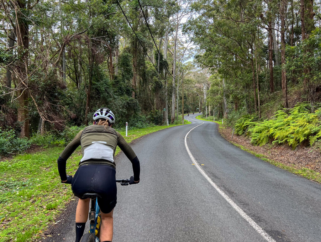
Leaving the village descend down the road, and turn left into the road descent. The Mt Glorious descent is one of those descents where most people have had one incident or another, minor or otherwise. It is steep, sustained, and can have rapid changes of camber. Some riders have lost their lives here. Ride well within your limits, the limits of your tyres and your brakes and remain aware of cars behind you, and those climbing the hill and perhaps cutting corners.
Once in the lower section, on a hot day it can be worth a quick swim. If you see room for cars to pull over, that’s the sign that a nice swimming hole is in the gorge.
Otherwise, finish the road descent and congratulate yourself on completeing a difficult yet satisfying route to explore part of the D’Aguilar Range. Plus it makes a cool loop on any ride sharing app! While this route has so much road, the off road section is both demanding and rewarding, and that can make it a favourite for some riders. There are many variants to this core loop – and doing it clockwise v counterclockwise can be adapted to suit the seasons (and heat of the day) and how busy different roads will be.
This is a remote ride beyond Laceys Creek. While the trail is typically in exceptional condition, it doesn’t get much traffic. Take the water and food you need, along with the spares and knowledge of how to use them. On top of that, take a small first aid kit.
READ: How to pack the essentials for a bike ride
On this ride, ‘the hard bit’ is also the dry bit. Expect the off road section to take longer than you think and carry plenty of water. While this may be a two bottle ride (with Dayboro refill) in winter, two bottles in summer is really pushing it.
Some of the roads used in this route have poor lines of sight. While bike riders can legally ride two abreast, a few sections here may be best ridden single file – a radar light is also handy to alert you to closing traffic.
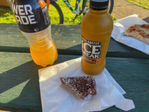
The Dayboro Bakery is a popular stop and well-placed for food and drink whichever direction you ride. There are also several cafes in Dayboro, and a supermarket.
An iconic ride for Brisbane bike riders. Do it on your gravel bike or mountain bike for the maximum fun.
User Rating
![]() (32 reviews)
(32 reviews)