Brisbane Valley Rail Trail
Discover Australia's longest rail trail on the BVRT - all 161km of it!
User Rating

 (51 reviews)


User Rating
![]() (12 reviews)
(12 reviews)
There are nearly endless different rides we can do. Rides that take us to new places, unique vistas and places of interest. The difficulty can be getting to the start of new rides, as working within a rideable distance from home can limit your route options. And that is exactly why Queensland’s 50c fares on public transport are such a good thing – not just for multi-modal transport where the network allows – but for recreation as well.
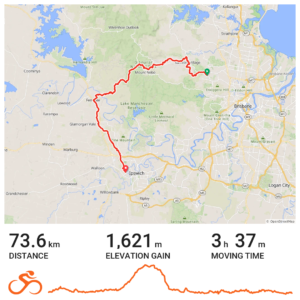
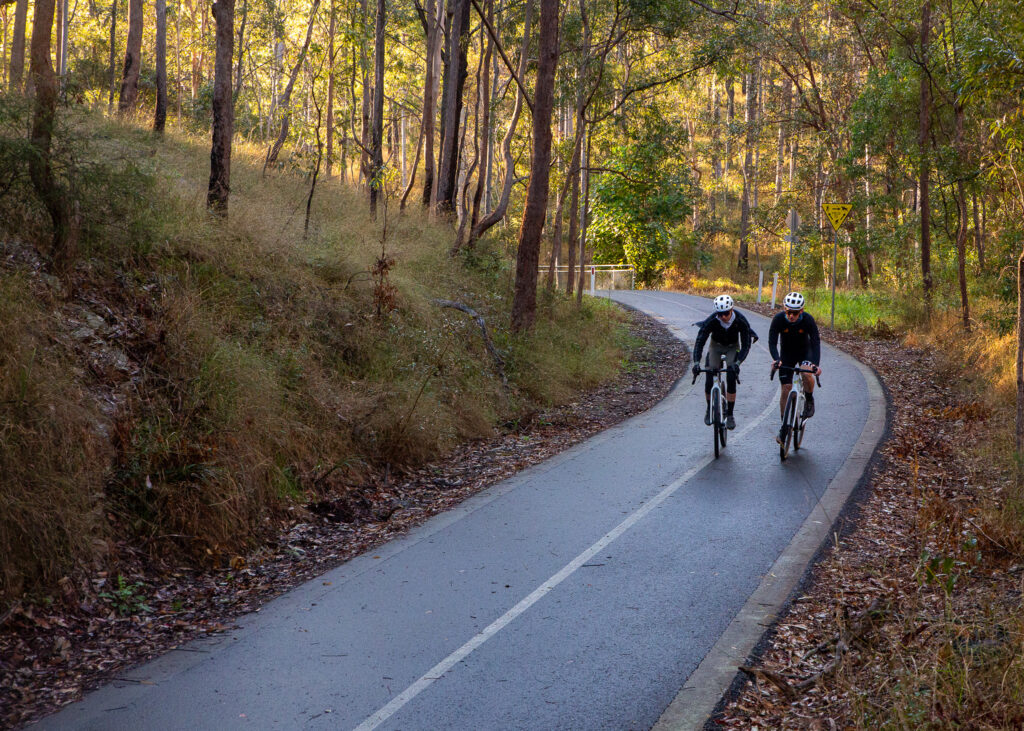
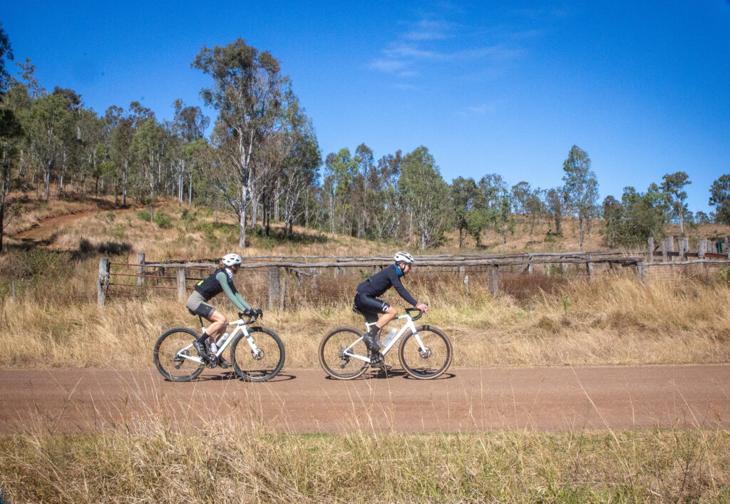
The BQ team are loathe to load a bike into a car for a bike ride, but jumping onto the Ferny Grove line for this gravel adventure was appealing. This ride is close to 75km and in general it is a mix of back roads, rail trails, shared paths and a few roads. There is a section of dirt road and also a forest road section that can be quite steep. From Goodes Road down Whoa Boy to Banks Creek Road has multiple steep pitches with a combined descent of around 600m. Due to this section, consider this an advanced gravel ride, or moderate mountain bike ride.
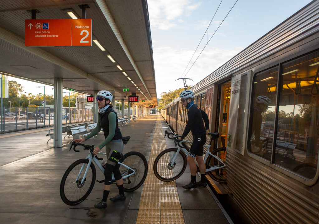
This ride starts at Ferny Grove station, head onto Lanita Road and the Ferny Grove to Samford Rail Trail link. This is a very gradual climb that becomes shared path, taking you to Camp Mountain and onto McLean Road South, where the memorial for the Camp Mountain Rail disaster is. 16 people lost their lives here on 5 May 1947.
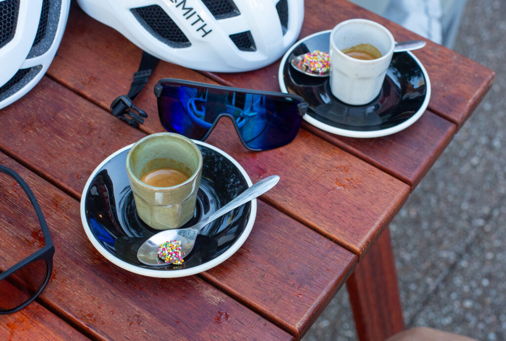
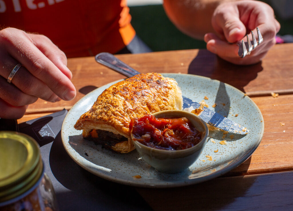
Follow the route through to Samford via Camp Mountain Road and Cash Avenue. We stopped at Long Yard Larder for coffee, and the park across the road has water, toilets and even bike tools and a pump!
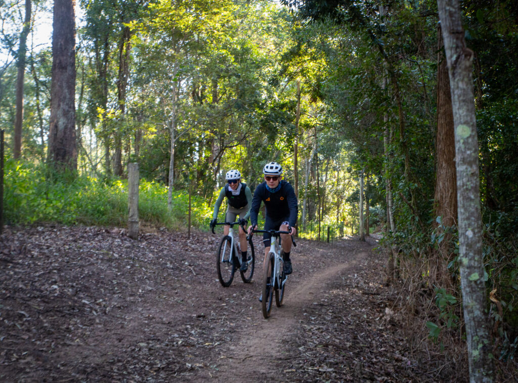
From Samford you need to get to the Goat Track, a one way mostly dirt road that climbs the D’Aguilar range. We took some of the pony trails along the South Pine River. These form a network across the Samford Valley, connecting lots of roads and parks. They are multi-use so be mindful of horses, walkers or dogs off lead. We took Mt O’Reilly Road past the Samford Showgrounds and to the base of the Goat Track, which is open again after extensive repairs.
With a 20kmh speed limit, the consistent gradient makes this one of the best climbs across the whole D’Aguilar Range. Turn right at the top onto Nebo-Mt Glorious Road, and continue up to the Goodes Road tip. It’s time to go off-road. Through the tall forest the trail is wide and easy to follow – at Dundas Road Bush Camp you may fill your bottles, but treat the water. Take the path straight ahead – this is still Dundas Road.
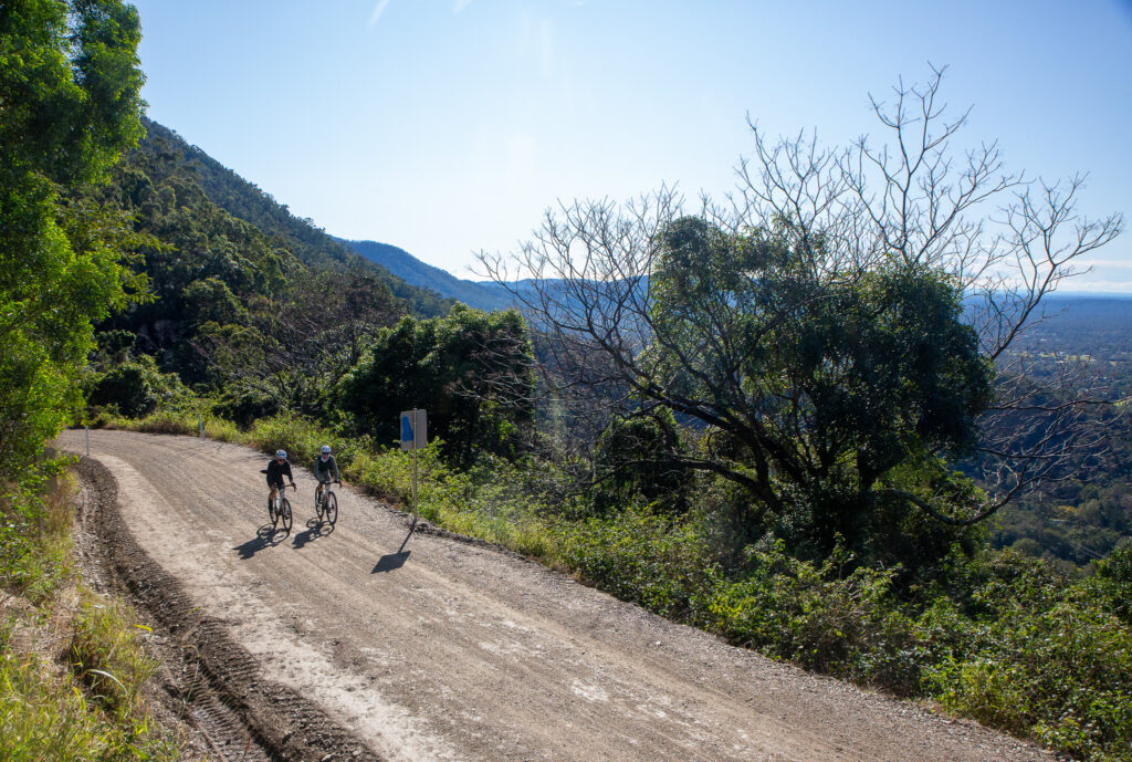
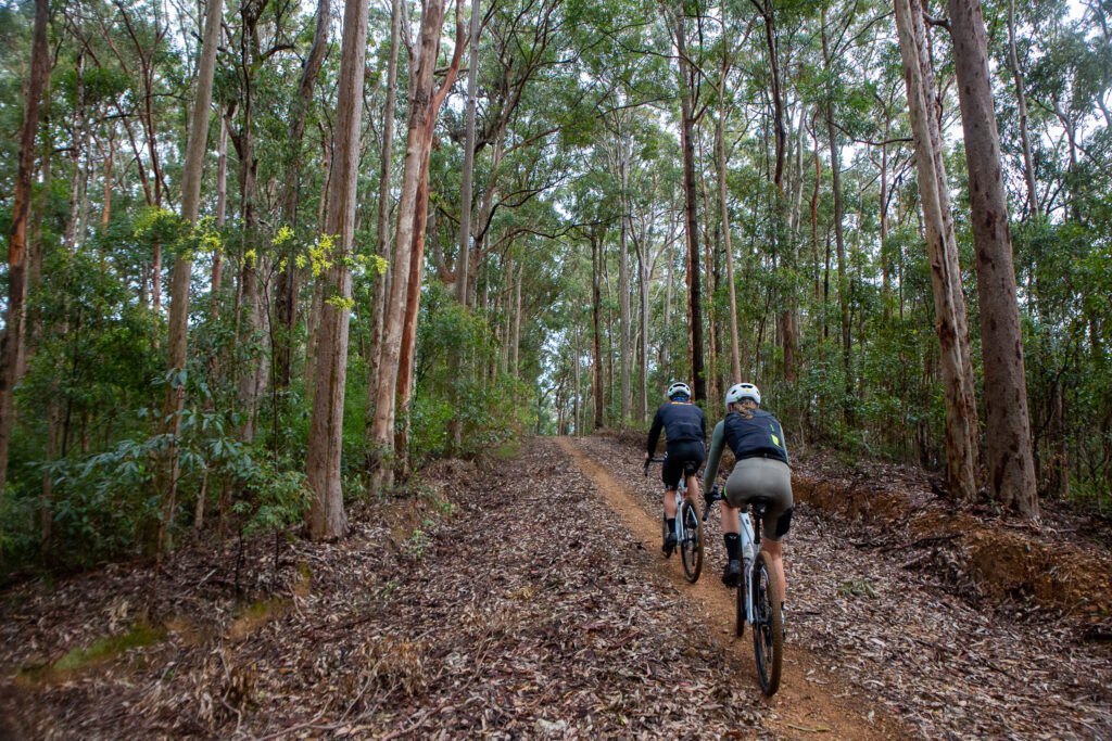
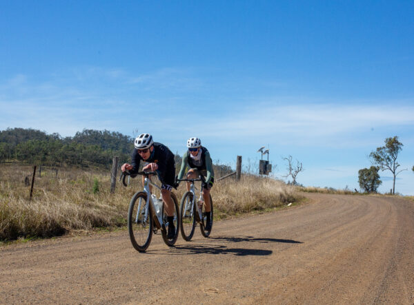
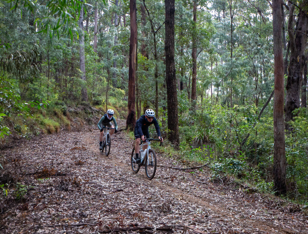
The trail descends with some steeper sections, rising again to follow the ridgeline. At the next intersection stay left – to the right gains private property. The descent will mostly have one good line, and still has a series of rises, until it tips off to the right and you’re on Whoa Boy. This section is known for the water bars and demands full attention. For an experienced mountain biker it will be a lot of fun. An experienced gravel rider will enjoy the challenge. A loaded bikepacker may find it a nightmare. This is the most difficult section based on the pitch, so if you’d rather walk – walk. It’s only a few sections that are a couple of hundred meters long. Mostly it’s a lot of fun!
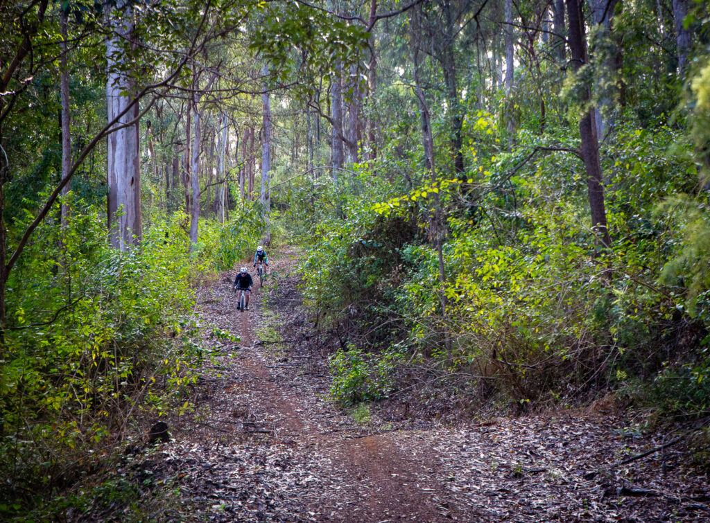
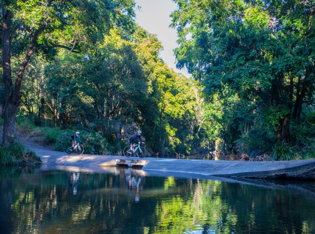
At the very bottom you end up in a clearing – frequently it is over grown but turn right. If you end in a creek, turn back! You’ve gone too far. The trail carries on through a couple of creek crossings to a forest entry gate with a horse step over. You have arrived in Banks Creek.
Stick to the well-formed gravel road and pedal on towards Fernvale! There is one rise but the route opens up a lot more with views back to the range and beyond into the Brisbane River Valley. While it’s a very quiet area do be aware of oncoming vehicles and stick left. Follow the signs to Fernvale, across the river and into town – we stopped at the new Splityard Social café, but were too early for hot chips… the coffees and sausage rolls were still welcomed.
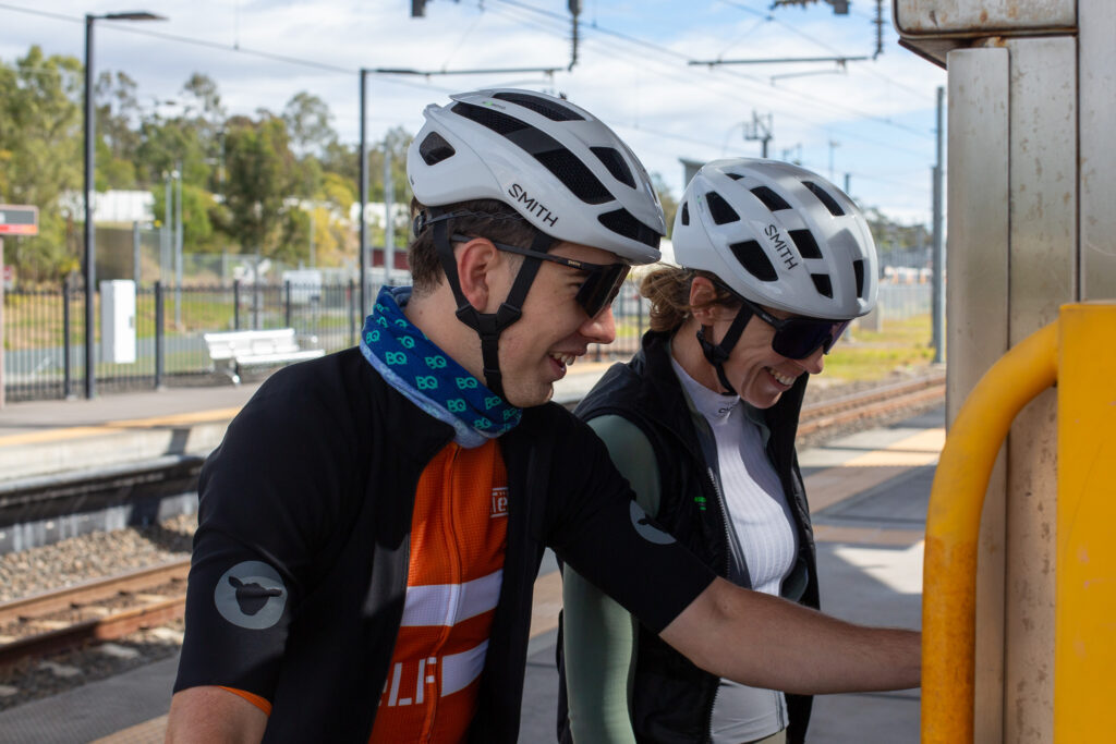
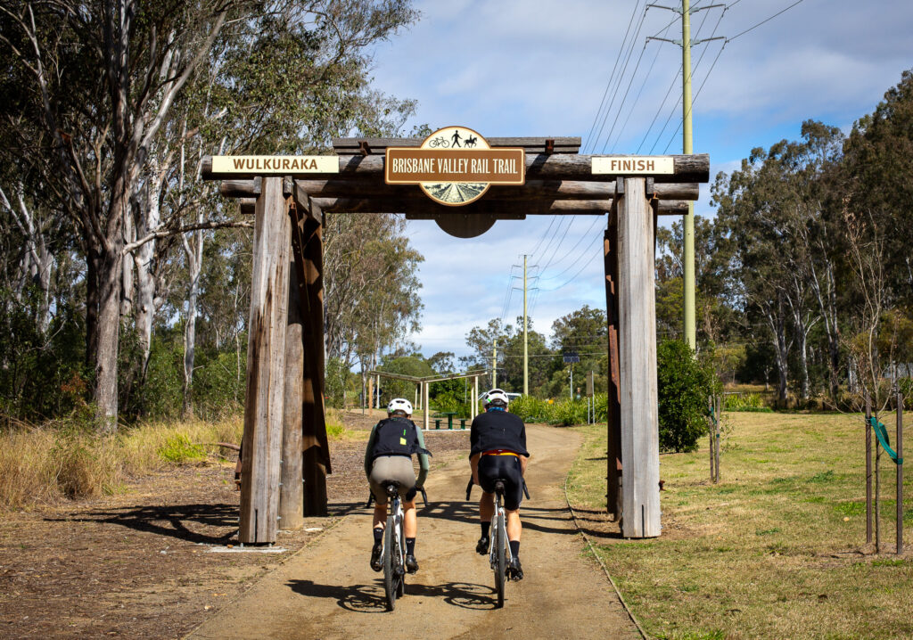
From here you follow the Brisbane Valley Rail Trail towards Wulkuraka. The Brassal Bikeway leads you from the trail head to the station, and you can even use it to get to Ipswich station instead if you’d rather skip the train change.
How to Get There
Ferny Grove is at the end of the Ferny Grove line. Use the Translink website to plan your route – and check line closures, the extra ride back to Brisbane might not be appreciated by your ride buddies if you don’t…
When to go
We rode the route in early August. March through to November will likely be great. Avoid the route after extended wet weather, and avoid the peak of summer given the length of the ride.
Eating and drinking
Samford Village has a number of choices, as does Fernvale. But stock up for the gap in-between.

At Fernvale, you can stop at the iconic Fernvale Bakery – or try the new Splityard Social Cafe. It’s on the southern edge of Fernvale right at the start of Fairney View Fernvale Road.
Discover Australia's longest rail trail on the BVRT - all 161km of it!
User Rating
(51 reviews)
Just 30 minutes from the Brisbane CBD you can find the Ferny Grove Rail Trail leading out to the "country" town of Samford Valley.
User Rating
![]()
![]() (39 reviews)
(39 reviews)
An iconic ride for Brisbane bike riders. Do it on your gravel bike or mountain bike for the maximum fun.
User Rating
![]() (32 reviews)
(32 reviews)
The D\'Aguilar Range west of Brisbane is full of delights for bike riders and outdoors fans. From the rainforest walks near Mt...
User Rating
(3 reviews)