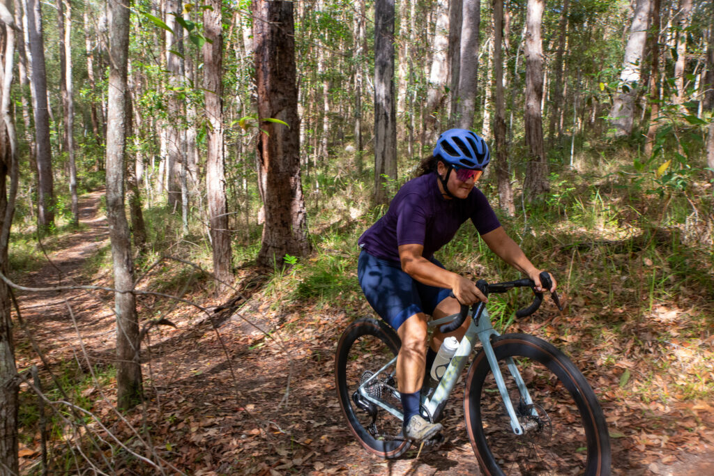
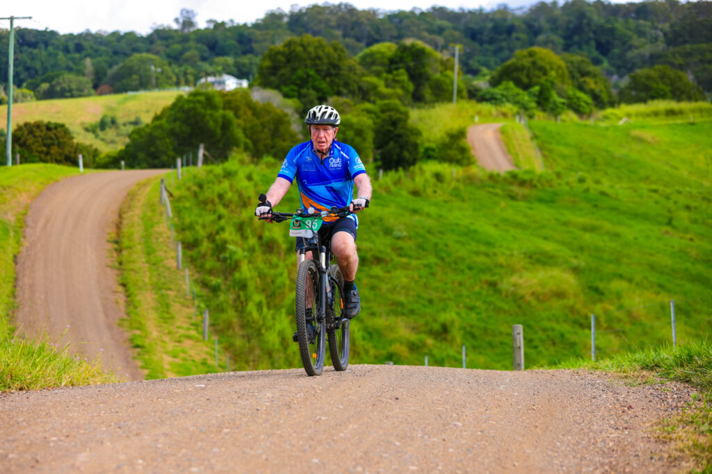
At BQ’s recent Weekend at Pomona, we put forward a longer, more challenging ride for the Saturday as an option for those who didn’t want to do the shorter ride – the Pomona Tourer.
While we let everyone know that despite being under 80km – it was no walk in the park.
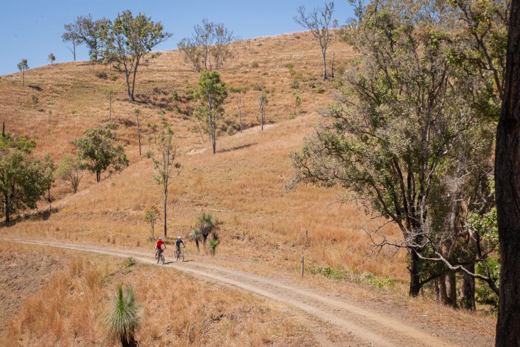
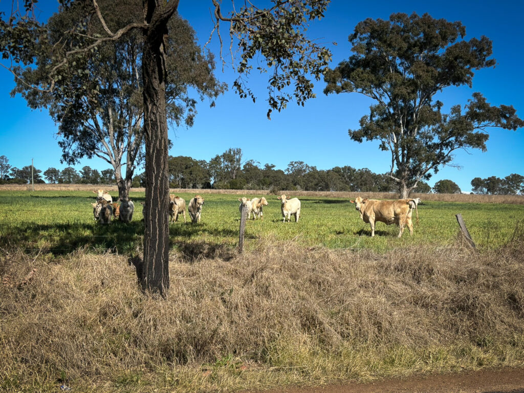
Three quarters of the riders took on the challenge. And many admitted they underestimated it! As such this is an intermediate plus gravel ride. While over 70% of the ride is on the road, it does have a lot of climbing and some short sections of trail – so you need to be a competent off-road rider and have the fitness for 4-5 hours of riding.
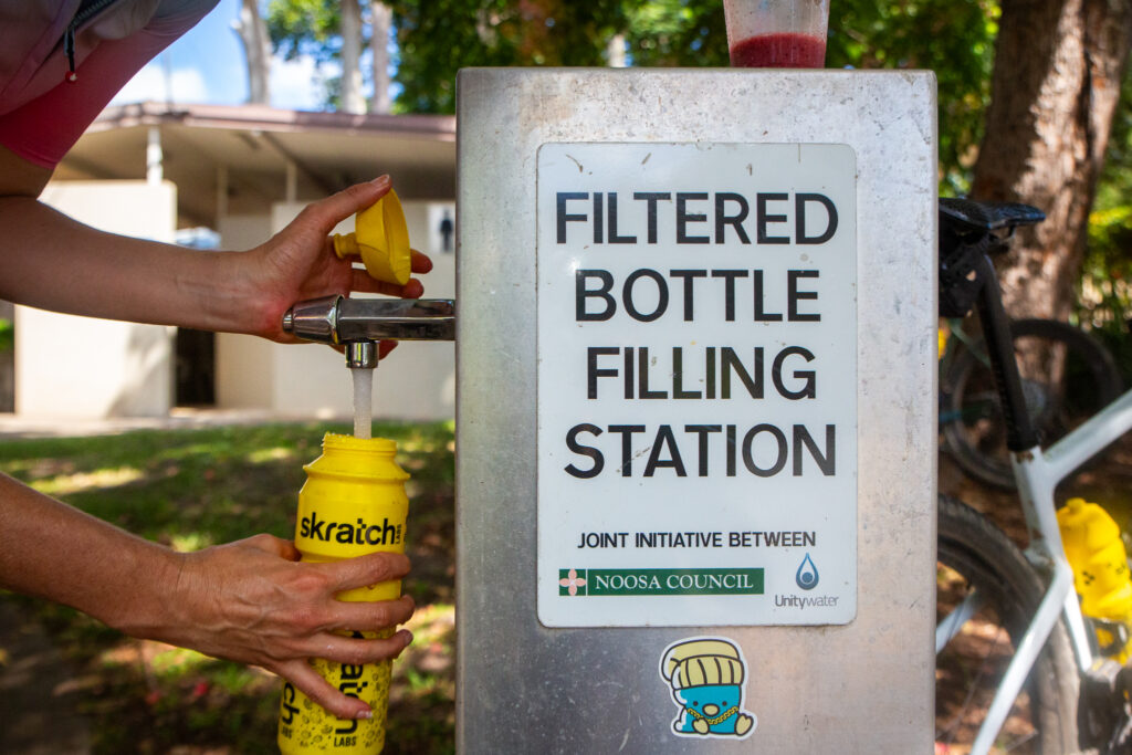
Carry at least 1.5L of water and plenty of food, as beyond Cooran you need to be self sufficient until Kin Kin.
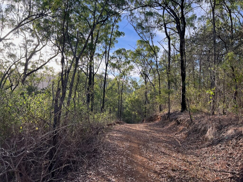
This is a fantastic loop starting and finishin in Pomona, but be warned you only have two water points (Cooran and Kin Kin) and the climbing is ongoing, akin to the profile of a breadknife – albeit with a few notable longer climbs.
Is there a reward? You bet. Using an extended section of the Noosa Biosphere Trails to start, after a pit stop in Cooran riders head north-west past Traveston and start a clockwise loop around Woondum National Park.
Follow the GPS guidance as you ride along ridgetops, barrel along back roads and ride a mix of gravel and backroads.
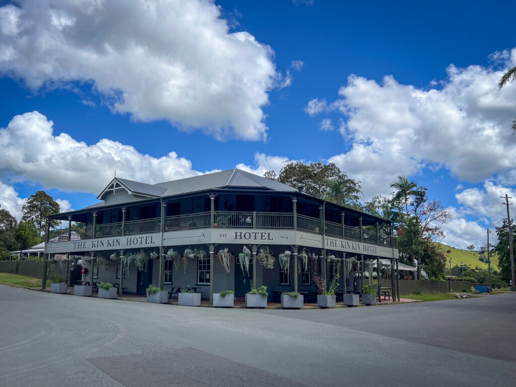
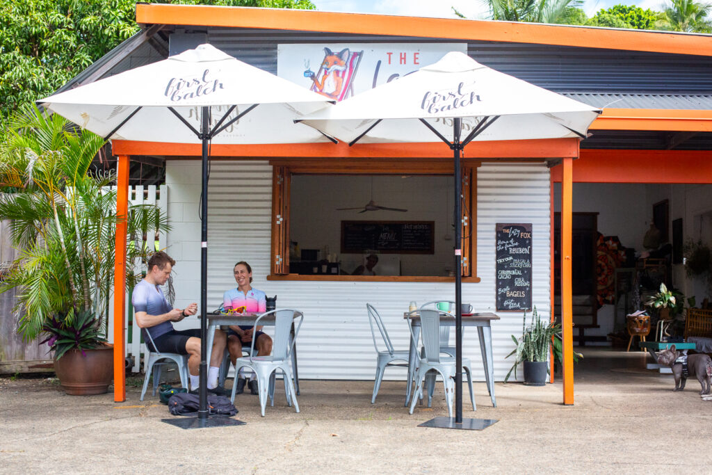
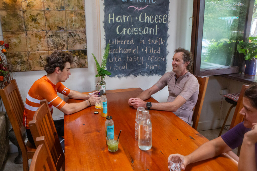
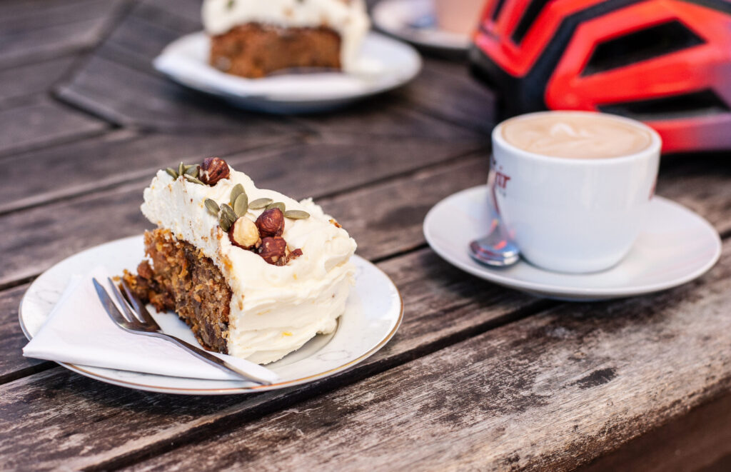
Drop in to Kin Kin for a water stop at the park – or a pub lunch when Kin Kin pub is open – before tackling the final leg, including a short but challenging climb at the end of Camphor Road on Trail 2 on the Noosa Biosphere Network. After a fast run back to Pomona you will have earnt lunch at a local cafe – good thing there are a few to choose from!
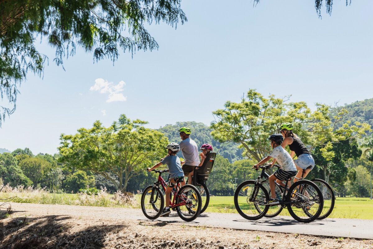
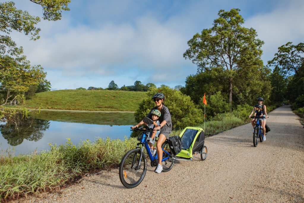
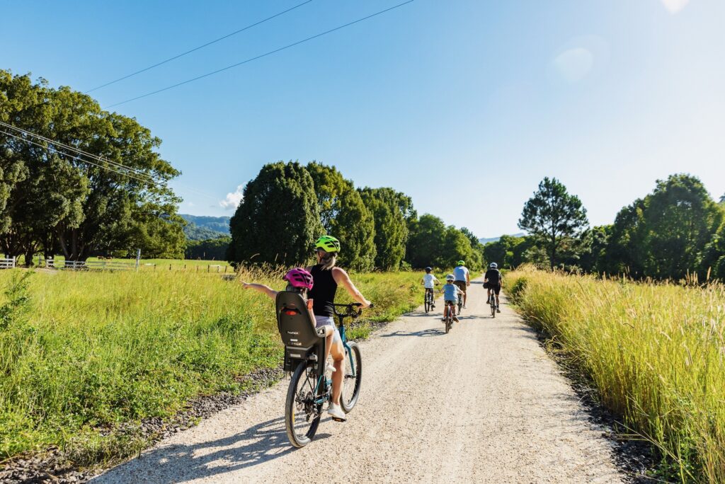
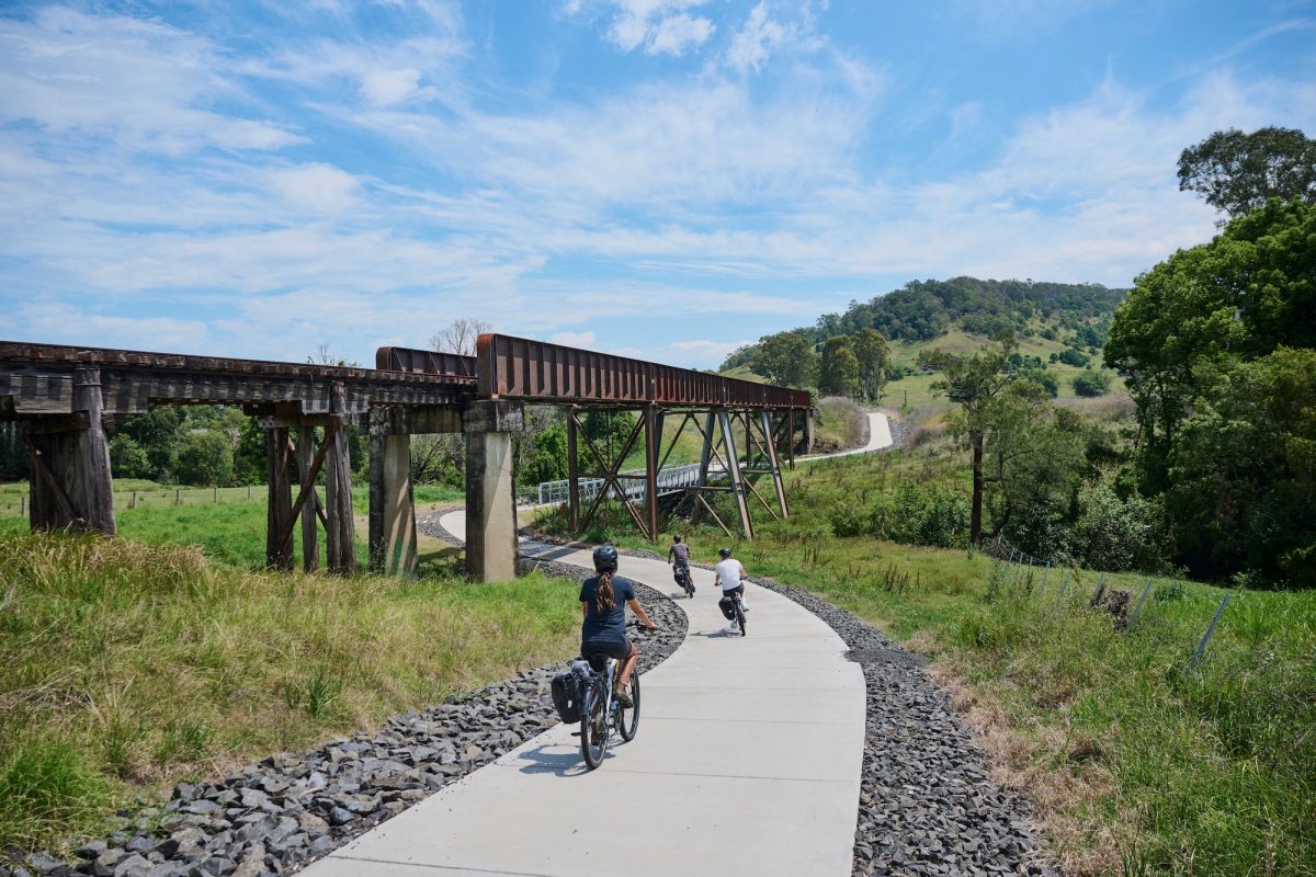
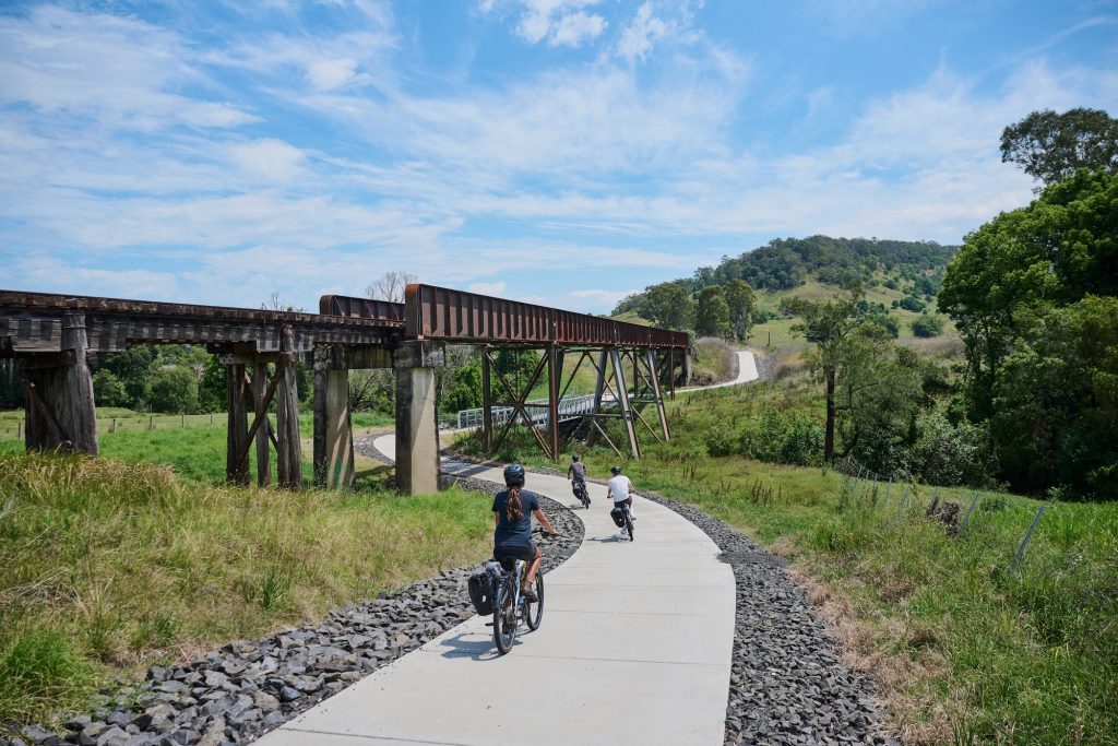
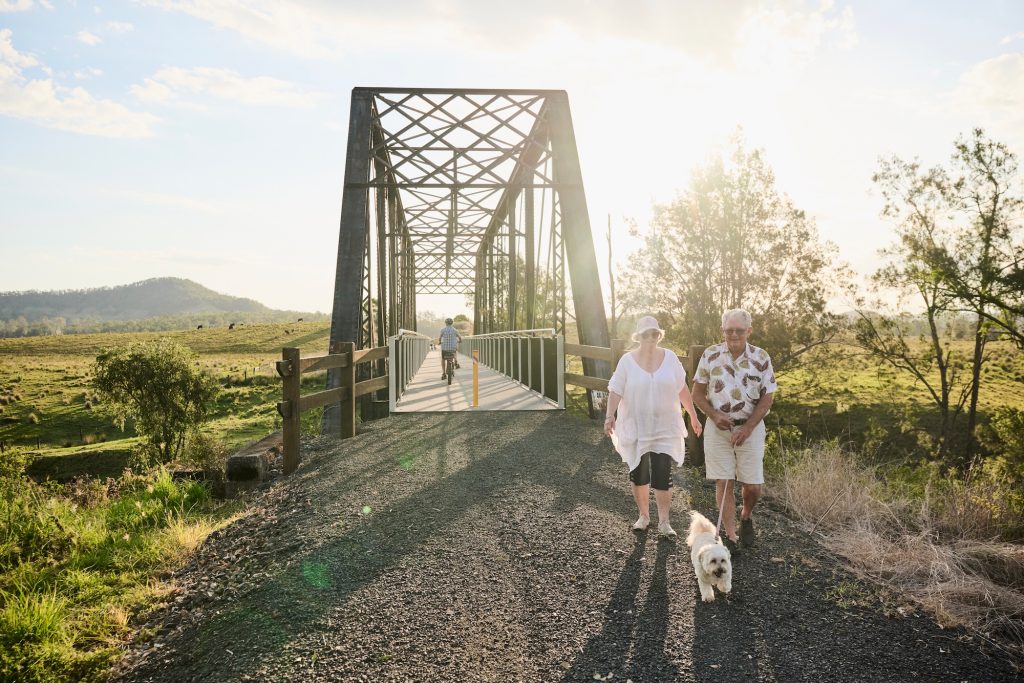
If you’re looking for a relaxed, family-friendly gravel ride with plenty of places to stop, snack and explore, the northern end of the Northern Rivers Rail Trail delivers. Starting in Murwillumbah and rolling south toward Crabbes Creek, this stretch serves up sealed paths to warm up, gentle gradients, heritage bridges, a tunnel adventure, and farm-gate fun along the way.
Distance: 24 km one way (48 km return) – but turn around when it suits. Style: shared rail trail (great for gravel, MTB and hybrids) Best for: cruisy weekend rides, kids/new riders, and picnic-paced adventurers Don’t forget: lights for the tunnel, swimmers for the farmstay, and a sense of curiosity
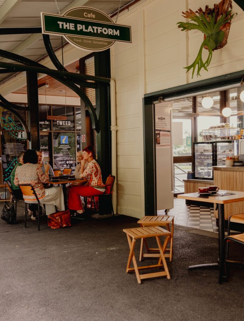
Start in Murwillumbah: coffee first, pedals second
Murwillumbah makes an ideal trailhead: park up, grab a takeaway coffee at the Platform cafe before starting your ride. Bring your own bike, or organise hire from one of the commercial operators nearby so you can travel light and still enjoy the trail at your own pace.
The first 2.2 km out of Murwillumbah is sealed, which is a big win for families, little legs, and riders who are new to gravel. It’s the perfect warm-up stretch before the trail returns to compacted surface. Around the 2 km mark you can choose to detour to the Tweed Regional Gallery and Margaret Olley Art Centre (accessed via a set of stairs) for a culture stop mid-ride.
Meander past Dunbible and a string of scenic bridges
From here the ride settles into a satisfying rail-trail rhythm: gentle turns, old rail formation under your tyres, and regular little moments that make you stop and look around. Keep rolling south toward the historic site of Dunbible, crossing a series of scenic bridges that break up the kilometres with perfect photo pauses.
Make it a day out: lunch, a swim and farmyard friends
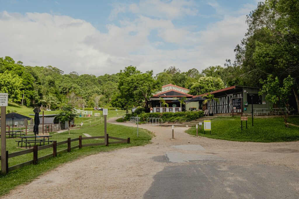
If you’ve got time, plan a longer stop at Hosanna Farmstay. It’s an easy place to turn a ride into a full day: refuel with lunch, cool off with a swim, and let the kids say hello to the farm animals before you hop back on the bikes.
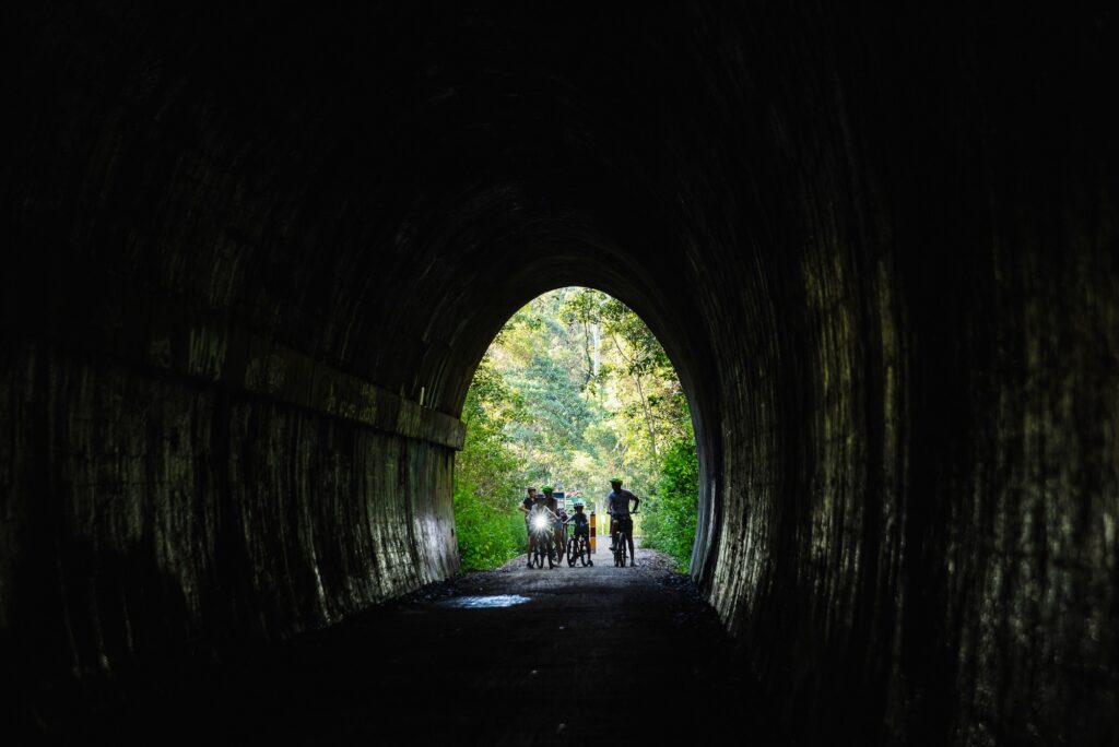
Tunnel time: Burringbar Range (500 m of darkness)
One of the most memorable moments on this section is heading through the Burringbar Range tunnel: around 500 metres of cool, echoing darkness. Bring lights (front and rear), take it steady, and keep your eyes peeled. If conditions are right you may spot glow worms along the walls and microbats flitting through the beam of your headlight.
After the tunnel, keep meandering south if everyone’s feeling good. You’ll pass through the laid-back villages of Burringbar and Mooball. Great places to pause, stretch, and decide whether you’re riding the full length or making this an out-and-back adventure. If it’s a hot day and you’re happy to add a side mission, Mooball has a historic pub with a pool. It’s ideal for a refreshing drink while the kids cool off with a dip. The full one-way journey to Crabbes Creek is 24 km, making it a satisfying 48 km return ride back to Murwillumbah.
Tips for a great day on the northern section
Bring lights for the Burringbar Range tunnel—ideally a steady front light plus a rear blinky. Pack swimmers and a towel if you’re planning a farmstay stop or a pool-side detour. Ride politely: it’s a shared trail with walkers, kids and dogs—slow down when passing. Carry water and snacks. Even an “easy” rail trail feels long without fuel. Download a map before you go—mobile reception can be patchy in sections.
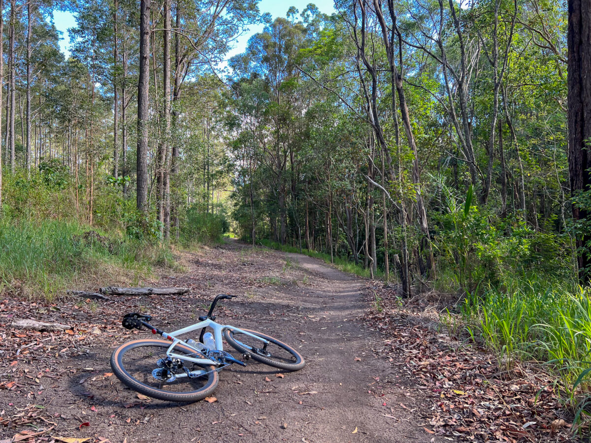
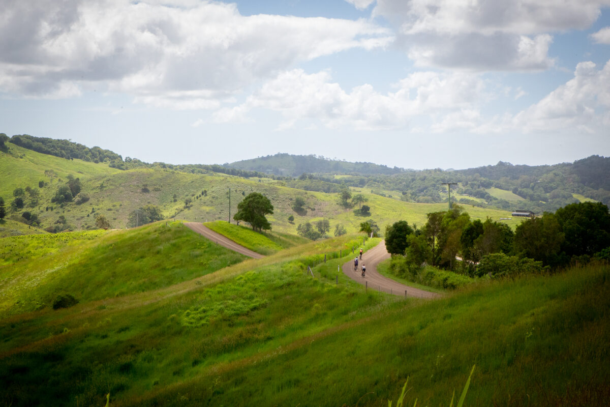
For BQ’s recent Weekend at Pomona we set four routes that started and finished at Pomona. While we had some excellent local input for routes that we custom-tuned for the event, this route was devised by BQ’s Director of Advocacy Andrew Demack. So contact him if you don’t like the hills!
While the route may not seem long at about 32km, it does have about 700m of climbing. Experienced off-road riders should be comfortable on this route on a gravel bike, but most riders will prefer the comfort, confidence and capability of a mountain bike on this route. An eMTB would be an excellent choice!
Rolling out of Pomona
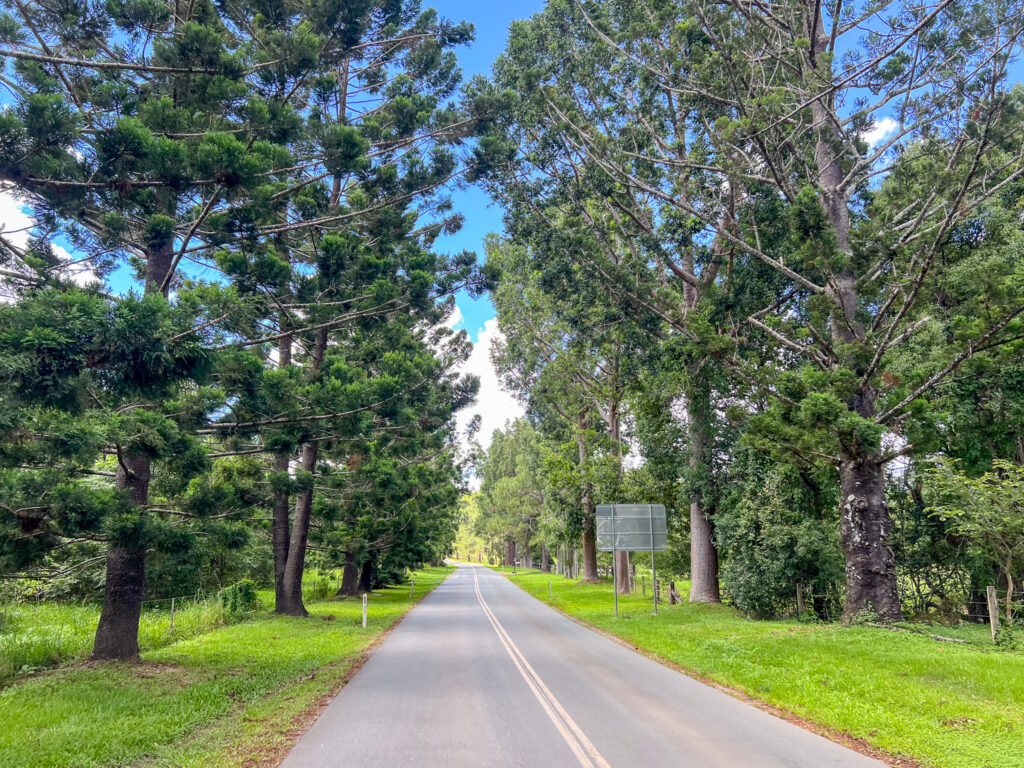
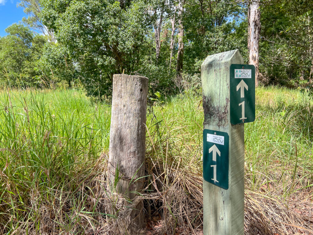
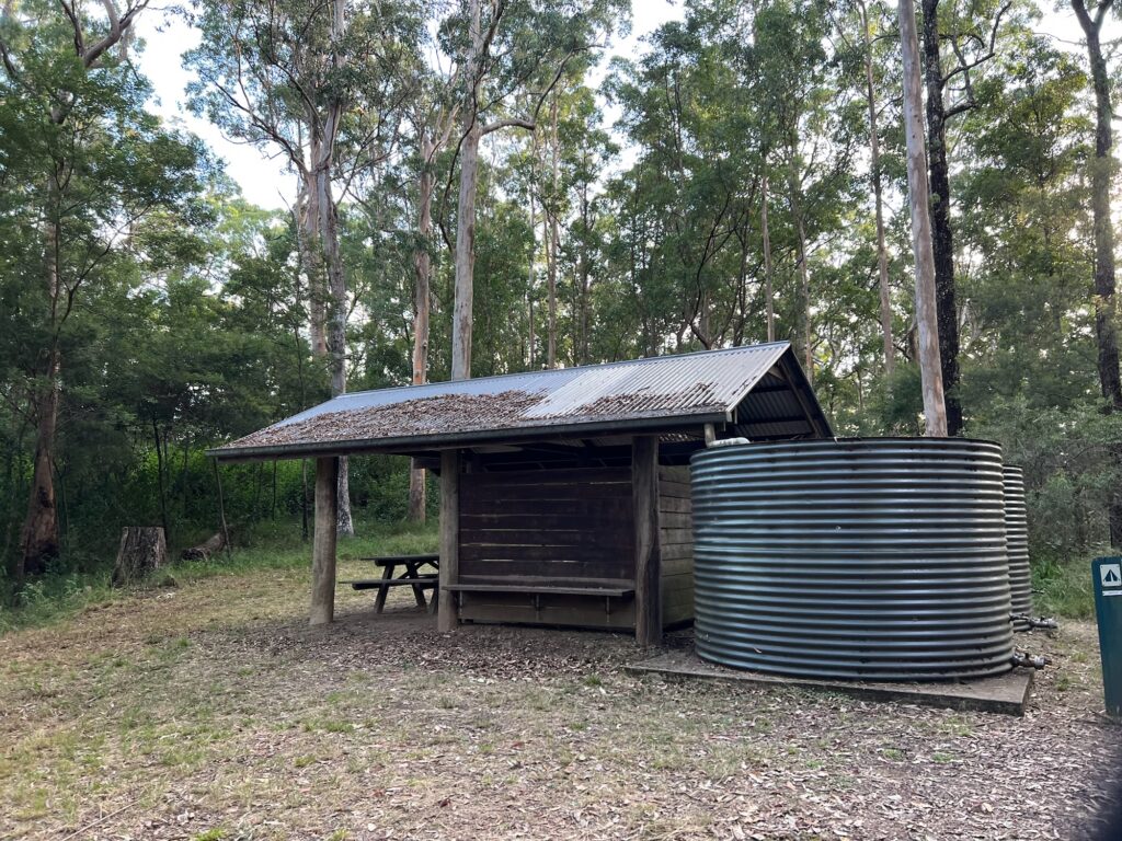
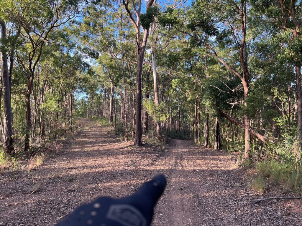
After a coffee in Pomona, head along Reserve Street, right into School Street and turn left into the Noosa Trail Network at Trail 5 on your left – just before the church. This multi-use trail can be followed as marked all the way to Cooran, where there are toilets, water, map boards and a couple of cafes to stop at. It’s a pretty little village and worth a stop.
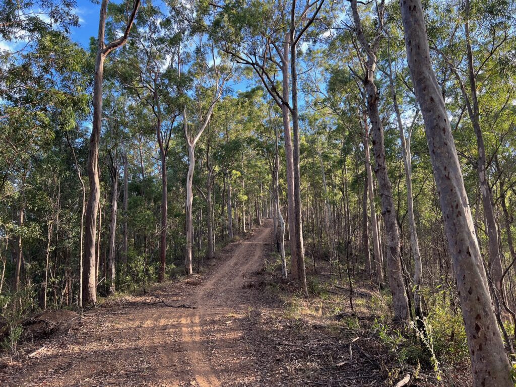
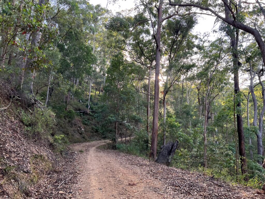
Once you’re back on your bike, cross the rail line then turn left into Tablelands Road. This rode will eventually lead to Tablelands Lookout. There are off-road options to take to get there, which the Ride with GPS route takes you on. If you’d rather an ‘easier’ pedal the dirt road to the top is the most all-purpose option. This is about as hard as the backside of Mt Coot-tha, so settle in for a long climb and pace yourself.
The views from the top take in much of the Noosa Hinterland region, and place Mount Pinbarren in your immediate view. And you’re heading past that next!
Go past the end of the road over the horse step through and take care on the next descent along the fence line. There is a hard left in the saddle down a grassy trail through the back of a farm and nature refuge, before popping out on the iconic ridgeback descent of Ewarts Road. Make sure you stick left and watch your speed before the final steep section to Upper Pinbarren Road, where you turn right.
Once at Pomona-Kin Kin Road turn right, then the next left into Camphor Road. While a wall of bitumen looms ahead, at the top you veer left onto the Noosa Trail Network. The total climb is about 100m, but your legs will feel it after Tablelands Road!
After a sit down at the picnic table and a chance to take in the view, descend off the back and watch out for the last steep exit ramp before turning right onto Black Pinch Road. This is a fun descent back to the valley – watch for wildlife in the bushy sections. The final run in is via Louis Bazzo Drive, so ensure you stick lift and are aware of approaching traffic.
Once back in Pomona give yourself a pat on the back, this is a short but challenging ride!
Many riders in Greater Brisbane will be familiar with The Goat Track, Mt Nebo, South Boundary Road and Mt Glorious. There are a number of forest roads and trails that drop from the heights of the range – but commiting to seeing where they go isn’t always attractive, as there’s a chance you may need to push back up!
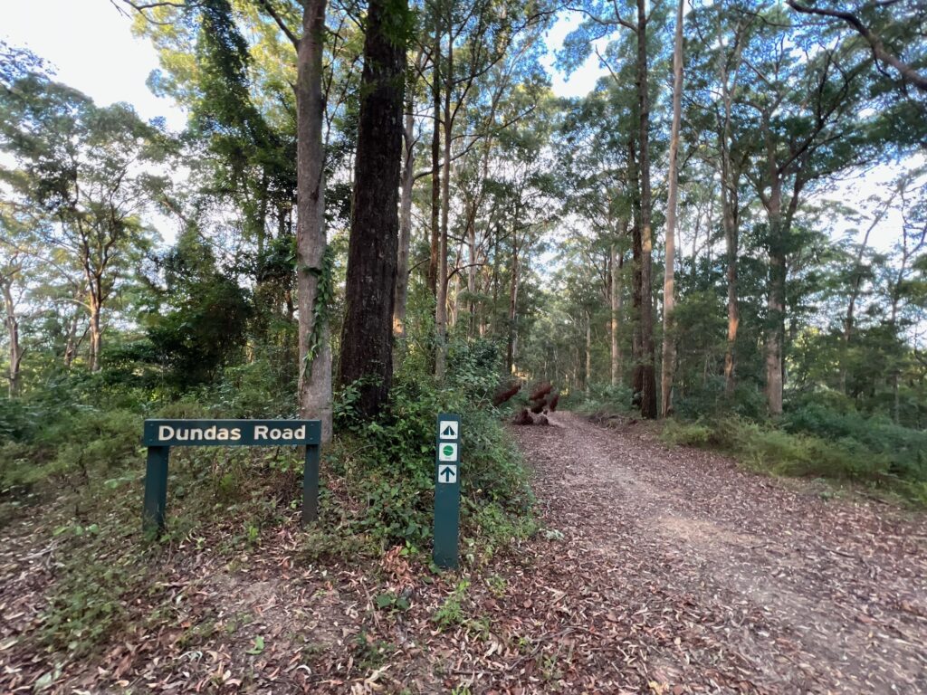
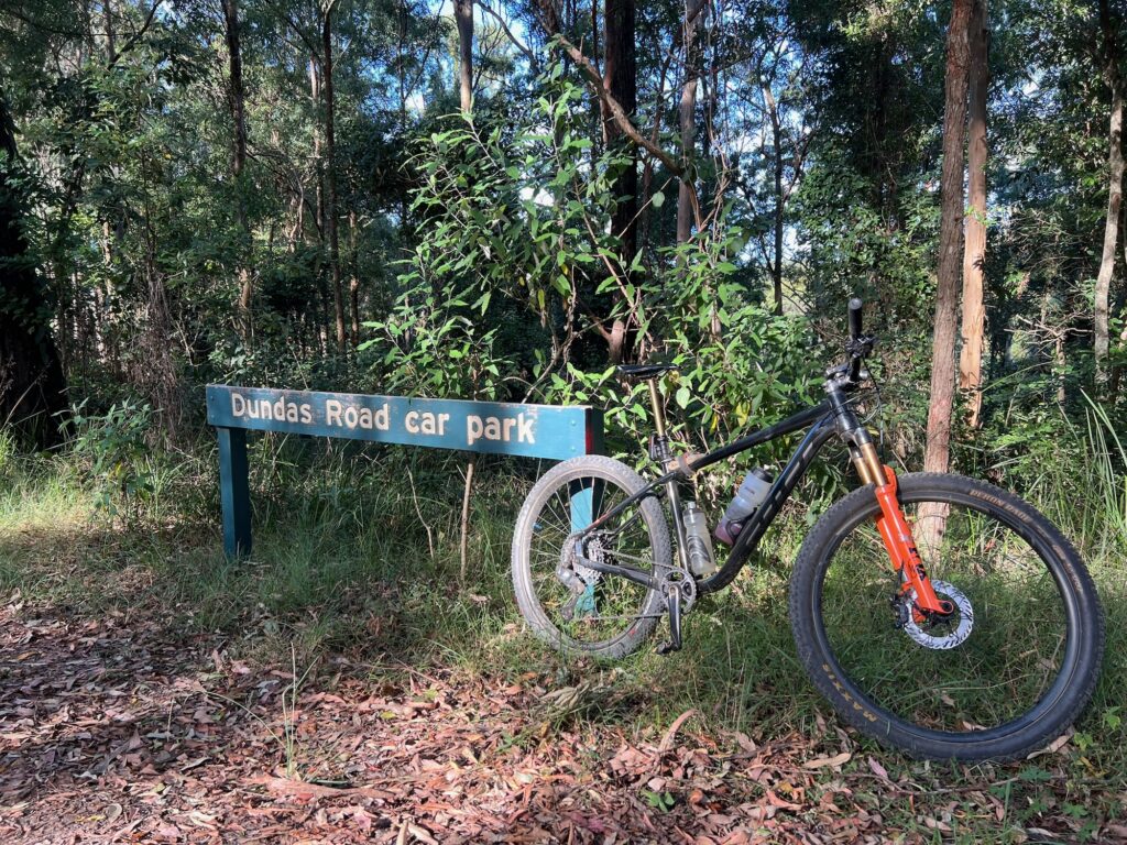
This route has been listed with a start in Highvale near the base of the Goat Track west of Samford, but could easily be started from Mt Nebo Village, or Dundas Road Carpark, which is just past the village. You could even ride up from the Brisbane Valley Rail Trail along Banks Creek Road!
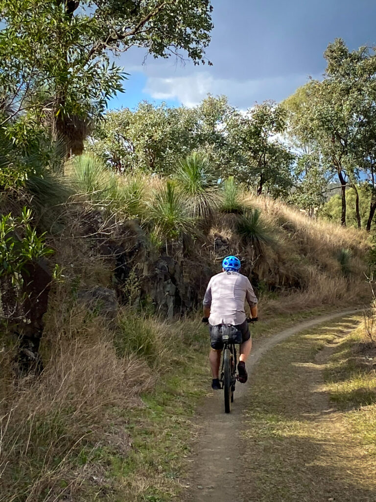
The route has steep sections that don’t receive the same maintenance as routes like South Boundary Road. So while it is categorised as both a gravel ride and a mountain bike ride – it is an advanced gravel ride, and an intermediate mountain bike ride.
Riding the route
From the park opposite the end of Ryder Road in Highvale, head towards the Goat Track and ascend. This is still the easiest way up the range if you’re coming from this side, and the one way traffic is a delight. At the top, turn left to loop towards Forestry Road and over Hammermesiter road, before dropping back to Mt Nebo Road and to Dundas Carpark.
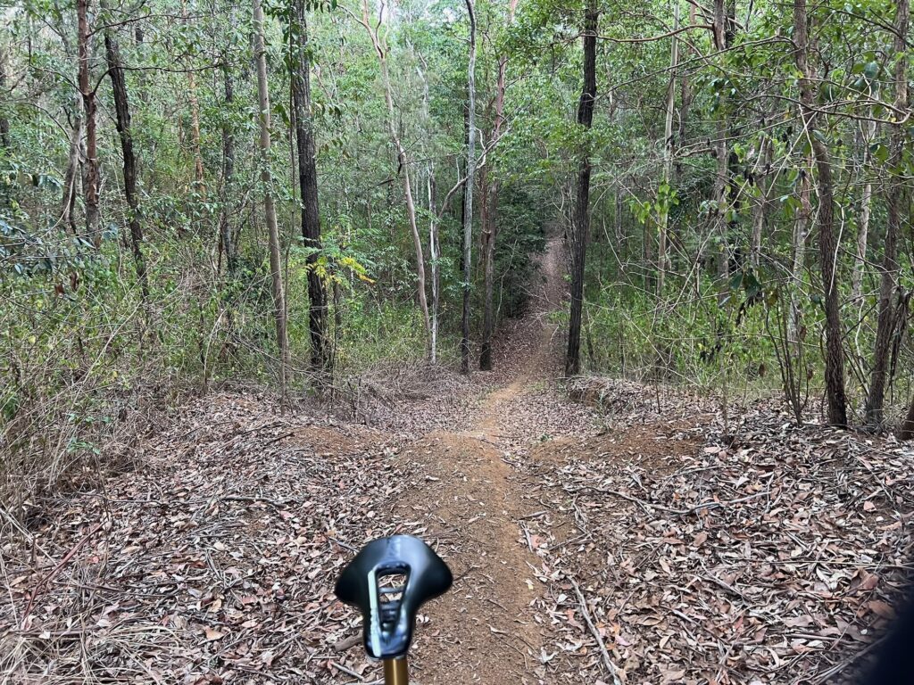
Go through the tiny tip to gain Dundas Road, and ride out on high quality firetrail to Dundas Bush Camp. The trail to the left is Cabbage Tree Road, in the middle leads to Whoa Boy, and to the right is Goodes Road. Today – we’re going straight on.
This route is frequented by trail bikes (no, they’re not meant to be there) and so you’ll typically have one very clear line to ride. It’s an undulating descent, and at the first turn option go left, as the right heads to private property. The descent gets a little steeper, and after the next plateau and small climb it descends steeply to the right.
With multiple water bars, you’ll know why it’s called ‘Whoa Boy’! This section can be very loose in the dry, and eroded after storms. Descend within your ability as it is easy to overcook corners or take a tumble on the steep sections. If in doubt – walk! But this is why it’s an advanced gravel ride, and really only suited to experienced bike riders. On a mountain bike it still deserves due respect, mostly around conditions.
This is an extended descent and finishes in a small clearing. To the right is a path to Banks Creek Road, Fernvale, the BVRT and even Crows Nest if you’re keen. To the left crosses a creek and heads up a steep 4WD climb. There are a couple of steeper pinches! At the top turn left. The right hander ends up on private property. The left follows an old fenceline, up, down, around a sharp right and then a sharp left into a regrowth rainforest gully.
Scythe through here through a tunnel of canopy and ascent the next short but steep climb. Send us a message if you clean it! This is a cross roads but go straight over. Left is a motorbike line to Cabbage Tree Road, right – not sure.
It’s a steep descent with waterbars, and can easily be eroded at the bottom. Proceed with caution – this is Burnt Yard Break. It’s a lot of fun! It does cross the creek and will have wash outs after storms. But, the fairly regular motorbike traffic does provide a very nice informal singletrack line to ride, which takes you to Branch Creek Road. It’s very flat down here – but with just about zero phone reception. Best to ride with a partner and carry some first aid essentials. You can see wild pigs, feral deer, snakes, wallabies – and lots of great native birds.
Turn left onto Branch Creek Road. If you carried downstream you’d head towards Lake Manchester. The route crosses the creek a few times (avoid after rain) and ends up at another junction. Left is Cabbage Tree Road, to return to Dundas Carpark via about 1 hour of climbing. Straight heads up the back of Mt Nebo village, but we’ll turn right to climb Job 6 and the top of Lightline Road.
It’s not an easy climb, but makes a nicer loop than doing Cabbage Tree. It is steep and extended, but all rideable by a rider with good condition. Turn left to keep climbing Lightline Road once you join it, and then through the back of Mt Nebo once at the top, and back over Hammermeister again. At this point, follow Mt Nebo Road until the right hand junction to descend down Mt Glorious. This is a very steep road descent – ride with due care and have some lights on for visibility. It has some swimming holes on the left, and will take you right back to Highvale.
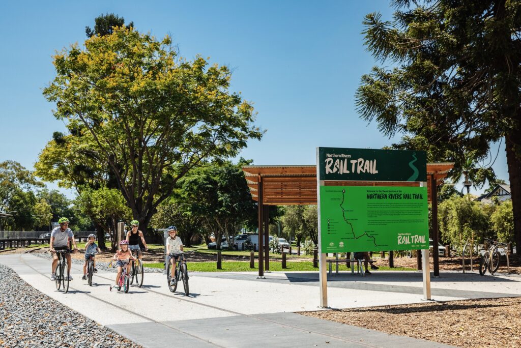
Gravel riders, rejoice. One of the most anticipated stretches of the Northern Rivers Rail Trail is now open, offering nearly 30 kilometres of uninterrupted riding over farmland, across heritage bridges, and through unique landscapes of the Northern Rivers in NSW.
The southern section of the Northern Rivers Rail Trail from Casino to Bentley Bridge opened in early 2024 by Richmond Vallley Council, giving riders their first taste of this scenic corridor. Then, in December 2024, Lismore City Council opened the Bentley to Lismore Station section, creating a fully connected route from Casino all the way into the heart of Lismore.
Whether you’re new to gravel or a seasoned bike adventurer, this ride offers a bit of everything.
Start in Casino: Big skies and open country
Rolling out from Casino, you immediately hit wide-open farmland. Paddocks that stretch to the horizon, framed by classic Northern Rivers scenery. It’s mostly smooth gravel, with gentle grades that let you settle into a rhythm early.
You’ll cruise your way towards Bentley, a quiet rural community that has become a landmark stop for riders thanks to the beautifully restored Bentley Bridge.
One of the trail’s signature moments is the climb over Naughtons Gap Tunnel. Because of the microbat colony that calls the tunnel home, the trail takes riders over the hill rather than through it, adding one of the few true climbs on this section. It’s short, punchy, and absolutely worth the effort.
Make sure you take a moment for the big views and open skies before dropping down the other side.
Historic rail heritage and farmland wonders
From Naughtons Gap all the way into Lismore, you’ll weave past:
classic grass trees
pockets of native flora and fauna
old railway formations
remnants of historic bridges and station sites
undulating farmland filled with birdlife
The heritage-listed Bentley Bridge is one of the highlights of this section. Painstakingly restored, it showcases original craftsmanship and frames the surrounding landscape perfectly. Riders often stop here for a photo, a breather, or simply to soak up the view of rolling green hills.
From here, you’re on smooth gravel, lush vegetation and fresh trail surfaces guiding you north toward Lismore.
Roll into Lismore: Industrial edges and a grand station finish
As you near the end of the trail, the landscape shifts. You enter the industrial side of Lismore, a contrast to the rural scenes behind you. Follow the easy, well‑signed pathway right into Lismore Station, marking the official end of this route.
Even in its industrial grit, this section tells its own honest story of Lismore’s working past and recovery journey.
Want a bonus challenge? Hit the Nesbitt Park Pump Track
If you’re not ready to unclip just yet, there’s one more option.
Just south of Lismore Station is the Nesbitt Park pump track. It’s smooth, fun, and great for riders who want a quick adrenaline burst before turning back or heading home. It’s a perfect way to round out the day with a little extra play.
Tips for Your Ride
Before you roll out, keep these trail essentials in mind:
The Northern Rivers Rail Trail is a shared, multi‑use trail. You may encounter walkers, dog owners, runners, families with small children, and even horses. Ride with awareness and courtesy at all times.
Review the safety rules before you visit. The trail has clear guidelines to help keep everyone safe.
Plan ahead using the official trip planner to check access points, facilities and conditions.
Download a map before you go. Mobile reception can be patchy in rural sections.
Carry water and snacks. Services are limited between towns.
Expect varied surfaces. Mostly gravel, with some compacted sections and occasional softer patches depending on recent weather.
Be wildlife aware. Native birds, wallabies and reptiles are common along the trail edges
Imagine if you could ride from Ipswich to Gladstone on rail trails (and some back roads)?
Well, one day you might be able to. At present you can ride Ipswich to Gladstone on rail trails for a good chunk of it, and dream of more.
Route breakdown – day by day
This route has been provided by BQ’s Director of Advocacy Andrew Demack, who rode the route in 2021. In part, this was to celebrate the opening of the Barrimoon Tunnels section of the Boyne Burnett Inland Rail Trail was opened.
While change is slow in a lot of regional Queensland, it can be fast enough to catch out intrepid bikepackers – or offer up an opportunity you may not be aware of. Since the time of writing Kirsten’s Cottage in Builyan has changed hands, and its opening hours have also changed. The Grand Hotel at Many Peaks has reopened. Craig and Desley O’Grady are the new owners and this is a very bike friendly establishment to plan for a stop. We encourage you to research and verify any of the stops you will need for food, water or accommodation.
A meander through SE Queensland, utilising 50 cent fares to get to Rosewood for the start, and to leave from Ipswich once the ride is complete. This loop utilises the Brisbane Valley Rail Trail (BVRT) and part of the Terra Australis bikepacking ultra course. I completed this ride in 5 days, but it could be done in a longer or a shorter period of time.
Passes through quiet rural backroads, a lot of farmland, with sweeping vistas of Lake Moogerah, Mt Superbus and Cunningham’s Gap. A steep climb to finish the day before emerging on the stunning plateau of White Swamp.
Day 2: Koorleah National Park to Leyburn
A brutal climb to start the day, up to 1000m above sea level, passing through clouds and old growth rain forest, before a beautiful and well earned descent into Killarney for a warm coffee and a refill of water. From Killarney you pass through Tannymorel and enter more farmland before entering Warwick. From Warwick you traverse Sandy Creek Road and pass through Pratten before some stateforest riding before Leyburn, with Queensland’s oldest pub and a free campground with hot showers.
Are you a member of Bicycle Queensland?
Being a member of BQ supports our advocacy work to make Queensland a safer and more connected place to ride – both on road and off. You also get peace of mind with public liability insurance and accident insurance – there’s even free legal advice available in the event of an accident and income protection!
A beautiful ride on a dirt road to Millmerran, before 3 to 4 hours of isolation, red dirt and beautifully undulating terrain in Dunmore State Forest. Cecil Plains has a wonderful small shop, a post office and a pub, before continuing on to Dalby on some of the flattest roads in south-east Queensland.
Day 4: Dalby to Linville
A hard day after the mostly flat day 3, especially with a headwind as I had. You will pass through more wheat fields and lots of quiet dirt and rural asphalt roads, as well as passing at the foot of the Bunya Mountains. A well deserved break comes in the form of the Cooyar Hotel, with cold drinks and lunch that is open a few days of the week. The ride up Mt Binga to Blackbutt can be a sore one at times, however I have never been more excited to see the BVRT in my life after a quick stop off at the Blackbutt Bakery and local store for some supplies for the following day. The Rail Trail Refuge is an amazing place with lovely owners, and a soft bed after a plunge in the pool and a dinner at the Linville Hotel was amazing.
Day 5: Linville to Ipswich
A full day on the BVRT, passing through well known towns and being swooped by the locals. A welcome reprieve to not have to worry about traffic.
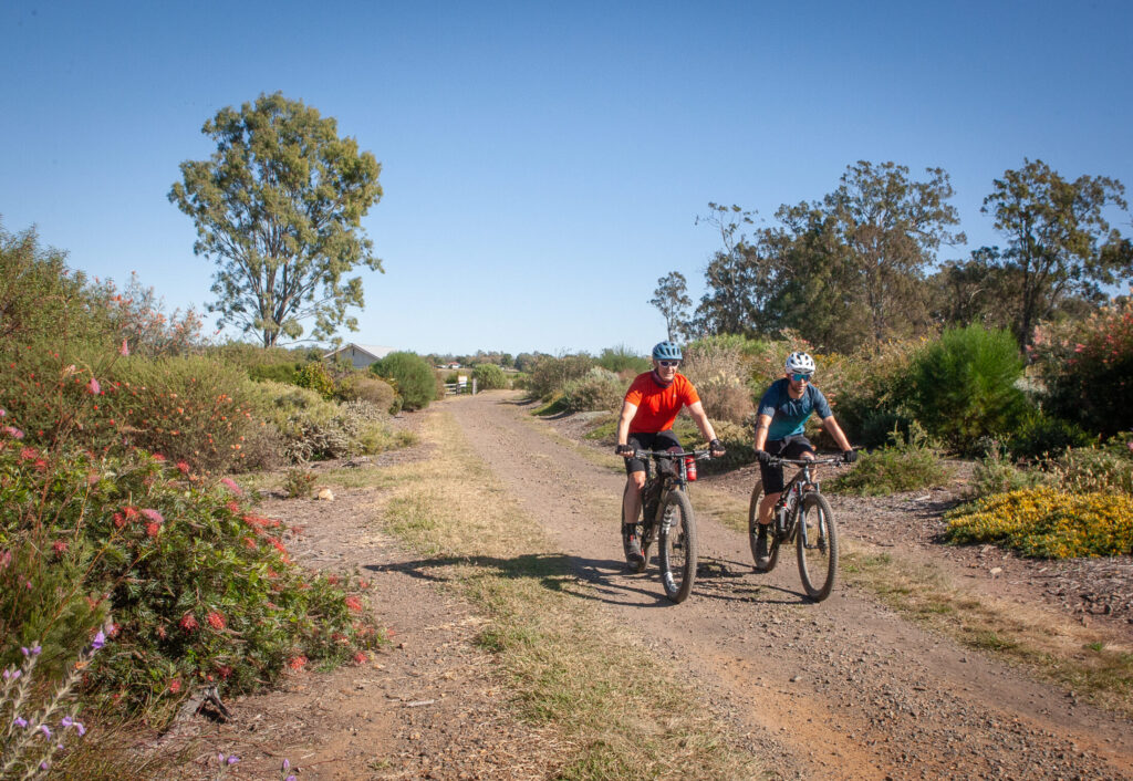
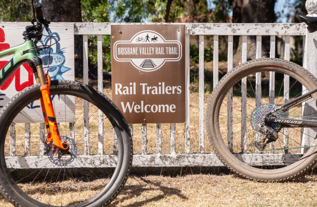
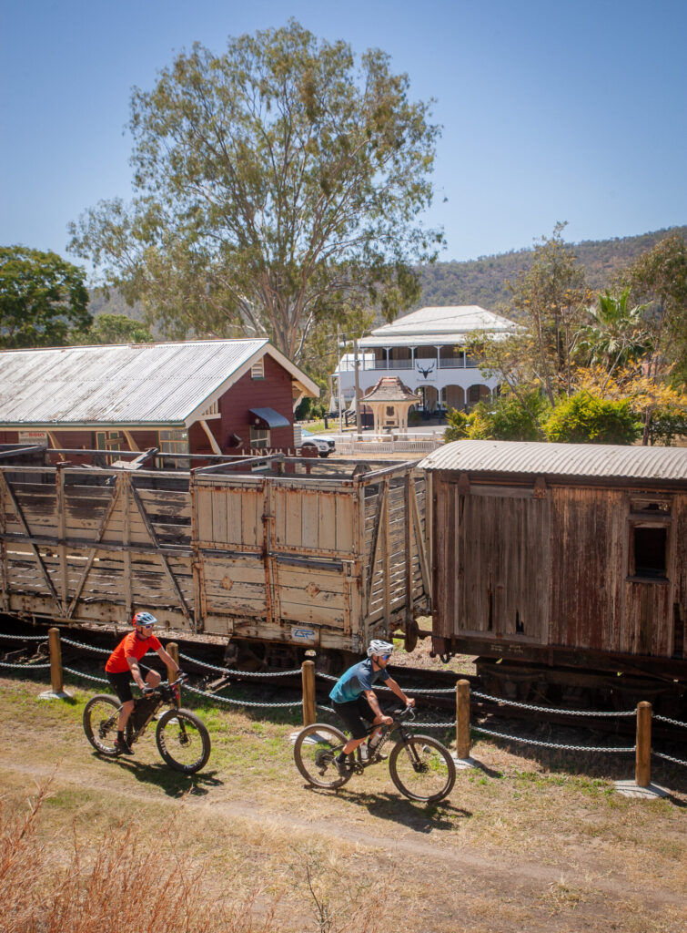
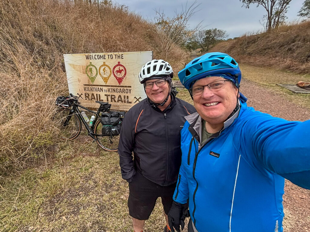
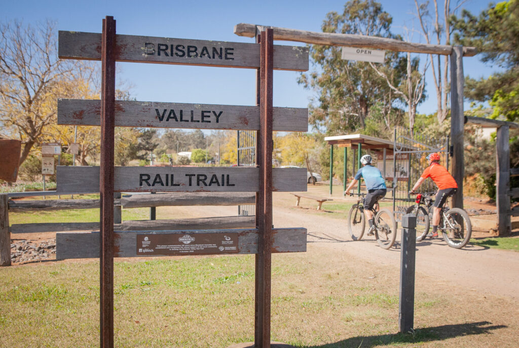
Connecting the Kilkivan to Kingaroy Rail Trail (KKRT) to the Brisbane Valley Rail Trail (BVRT) is an attractive prospect for both intrepid cyclists and those keen to see more of Queensland by bike. The ride connects two stations and combines scenic roads, rail trails and old routes that covers roughly 394 km with about 3000m of climbing. We have a suggested route breakdown for 5 days – some will do it in less, some may do more. You can also opt to use a shuttle to get to Kilkivan – or even the local school bus if you travel out on a week day.
This route can be done as a ‘flashpacking’ trip staying in booked accommodation – or pack the tent and sleep system for the full bikepacking experience.
The route
Starting out from Gympie, the route heads into the undulating hinterland via Gympie-Woolooga Road. It climbs steadily, with the early hills warming up the legs. At Smith Road north of Woolooga you’ll trace north of the original rail alignment, and curve pack south to cross the old rail corridor at Oakview, before following Bular Road into Kilkivan. This makes 80km for the day thus Kilkivan is an ideal first night stop.
From Kilkivan the route swings south-west towards Kingaroy on the KKRT, which is well signed for the entire route. The first half of the rail trail may be rough and ready, and take the descents into gullies with caution after storms. The descent into the South Burnett region is a treat with gentle grades and a move to a sealed surface for fast rolling. The region has some charming roadside stops; make time for a coffee stop in Wondai! You’ll arrive in Kingaroy with just under 90km for the day.
Day 3 brings the Link Trail, or a version of it. This connects the KKRT to the BVRT. Much of the ride is on sealed roads, this section offers gravel or mixed surface, bringing texture and variety. You’ll roll through bushland, past historic railway relics, and tackle a pretty unique river crossing before a climb out of the gully. Yarraman is on the horizon which makes a great stop for the night – and maybe dinner at the front bar of the Royal Hotel?
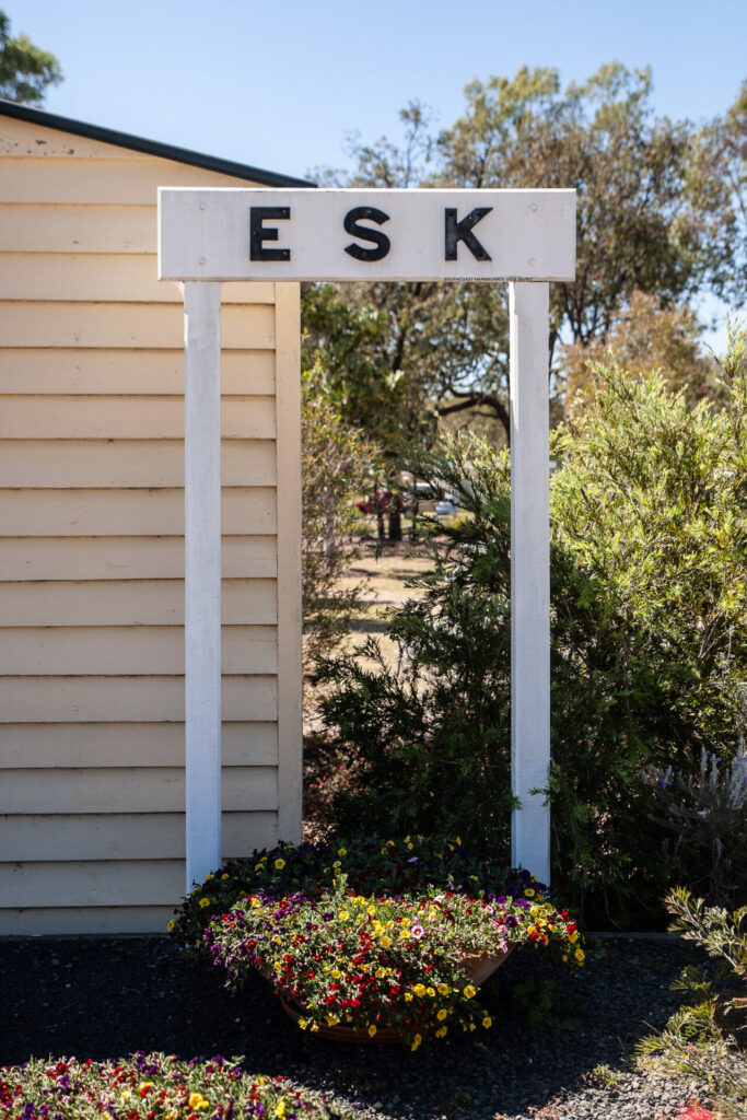
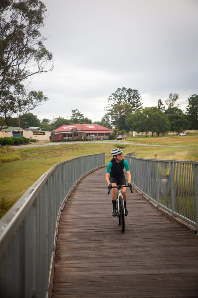
The next day is pretty easy rolling, follow the BVRT from Yarraman to Esk, covering about 80kms. The first stretch is classic country Queensland to Blackbutt (don’t miss the bakery!) before rolling down the range to Linville. Don’t miss Linville as a lunch stop, before pushing on to Esk for the evening. This day is all off-road on the most popular rail trail in Queensland.
The final stretch from Esk back to Wulkuraka (or Ipswich) delivers a flatter route and fast rolling rail trail. The oute passes through historic towns, with Fernvale well-placed for an early lunch (or second breakfast). The final run in to Wulkuraka is fast and amooth through the outer suburbs, and when you pass under the trail head sign you’ll have completed an epic journey!
What makes this route especially appealing is the balance. Yes, you’ll ride almost 400km and do a healthy dose of climbing but you also ride through a mix of landscapes and moods: from remnant rainforest fringes and timber country to open agricultural plains and winding backroads.
When to go
This route is best travelled between April and October, to avoid the hottest temperatures. Expect a bit more wind in winter and a few encounters with magpies from August onwards.
Eating and drinking
Water and food are available at regular intervals – but do stock up and be mindful of how long it will take you to get to your next stop. If you’re travelling mid-week, double check opening times so you don’t end up missing out!
What bike
A gravel bike or cross-country style mountain bike is a great option. Depending on the amount of days you choose to tackle the route, an off-road capable e-bike would be great – just don’t forget your charger and have an understanding of the range of your bike – especially when loaded.
Head to the Komoot link to download the full route as described.