Kilcoy – Jimna loop

Here at Bicycle Queensland we love a ride that is a good loop, as every vista is new, and every metre that rolls under your tyres is a metre of discovery. Given the size of our state, there are some incredible rides to map out, but the trick can be making sure food and water is available on what looks to be a cracker of a longer loop.

The ride

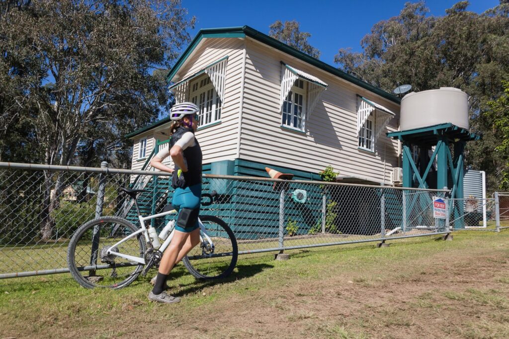
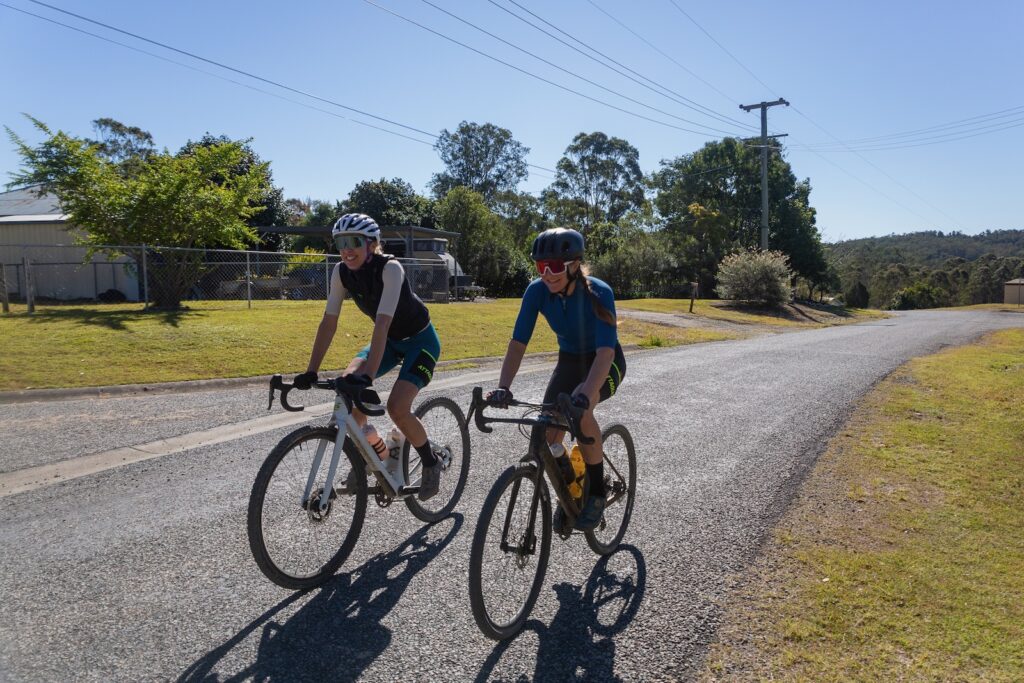
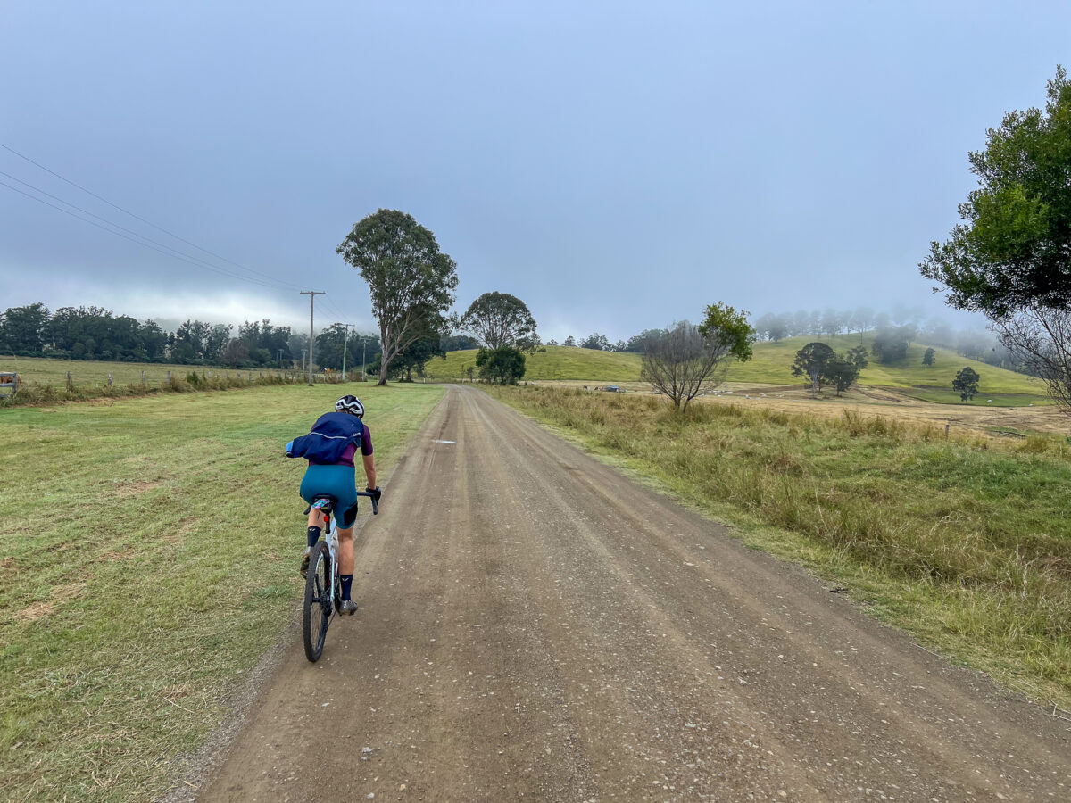
This ride starts in Kilcoy, head north on Kennedy St out of town and then onto Mount Kilcoy Road. This passes via larger properties on a flat valley road, before the route turns abruptly skyward soon after the 20km mark and the most challenging climb of the route commences.

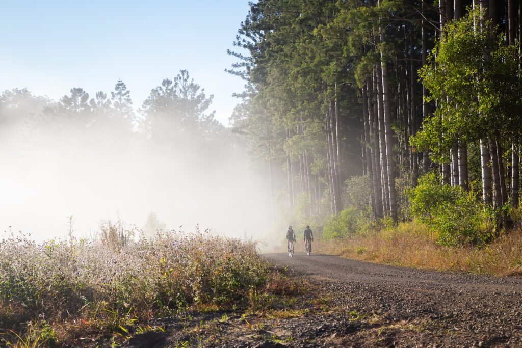
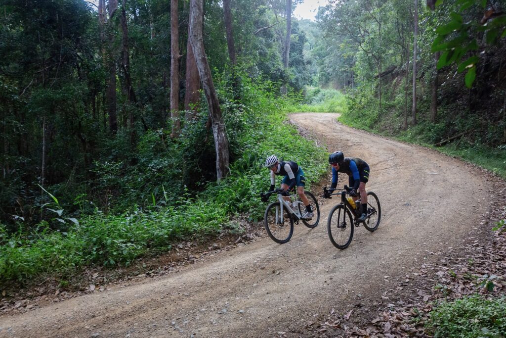
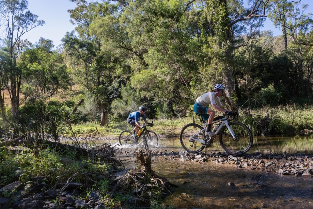
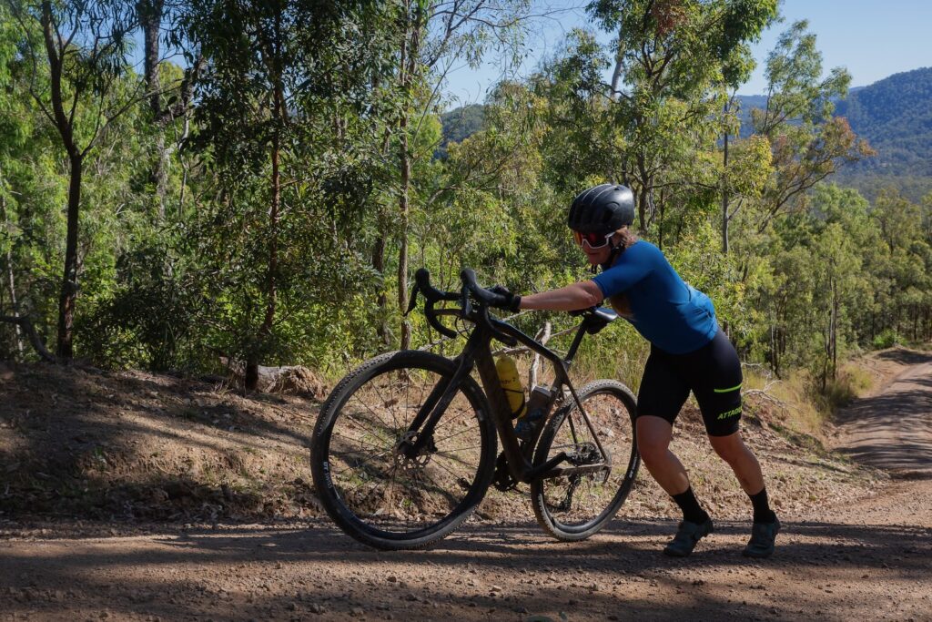
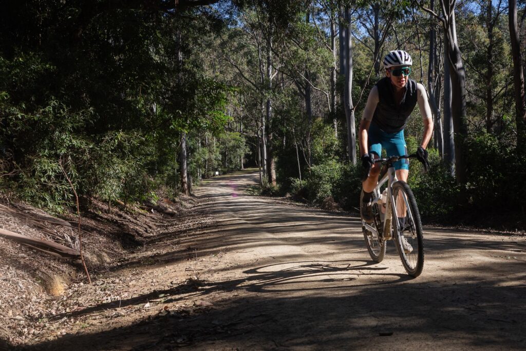
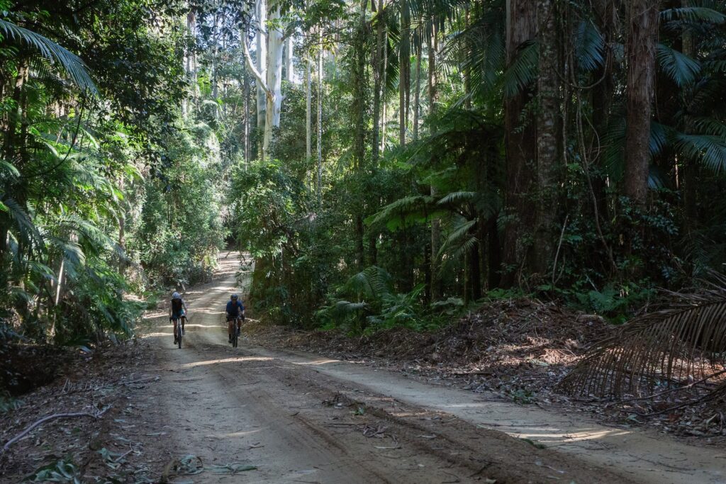
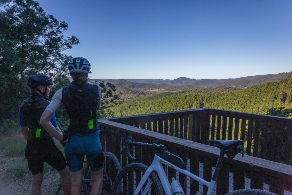
Strap yourselves in and engage low gear – this is a long one! You’ll gain nearly 500m in the next 4km. While it’s all double track and an open 4WD route, it is steep and has some washouts at different points. On the ridgeline you are now on an undulating route – watch for deep puddles after rain, but this is mostly fantastic adventure gravel riding.

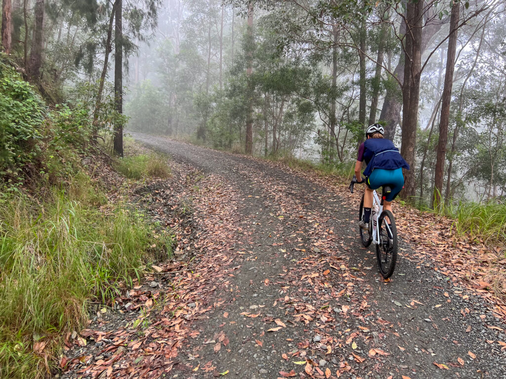
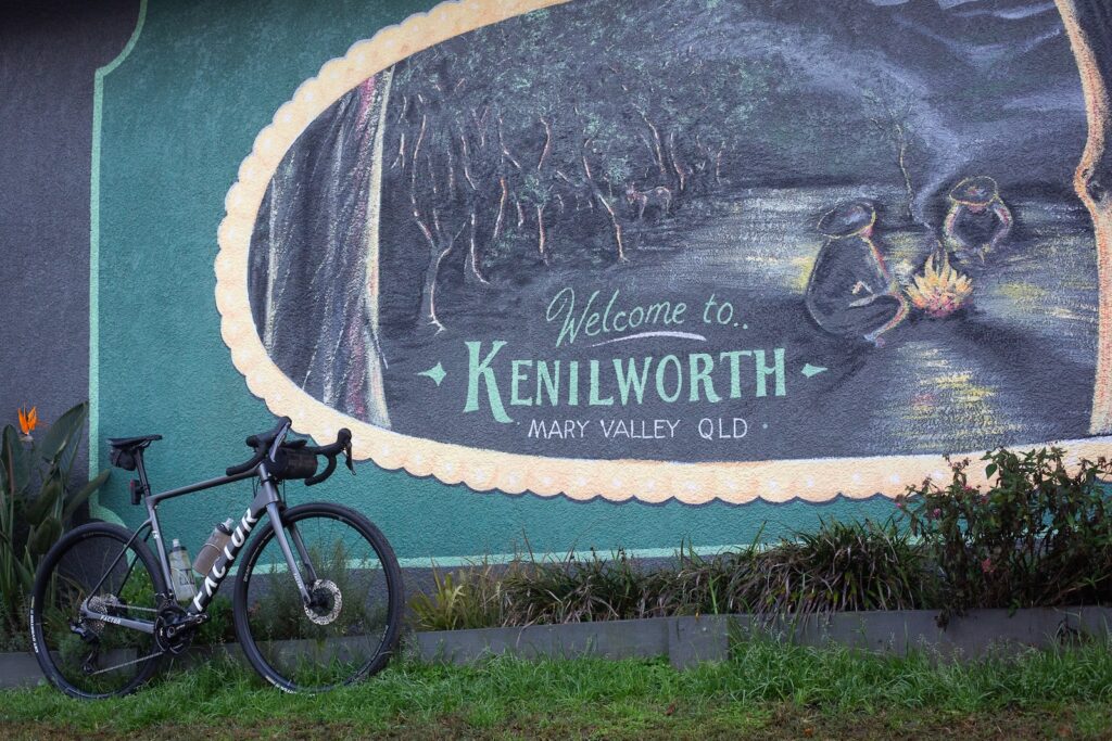
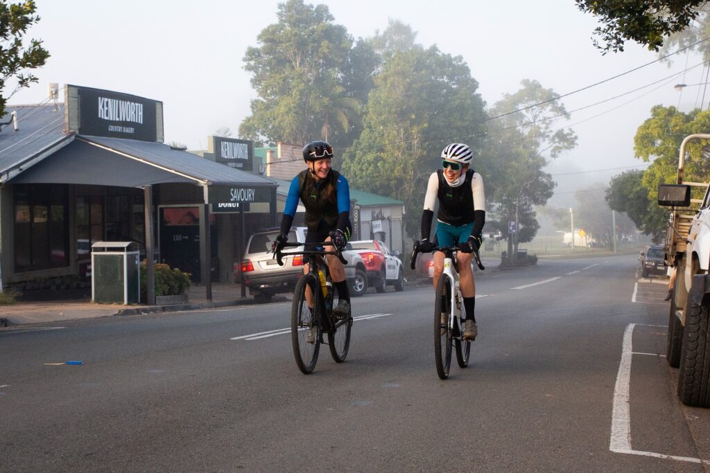
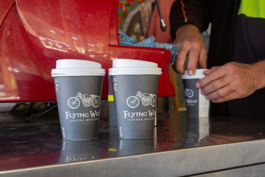
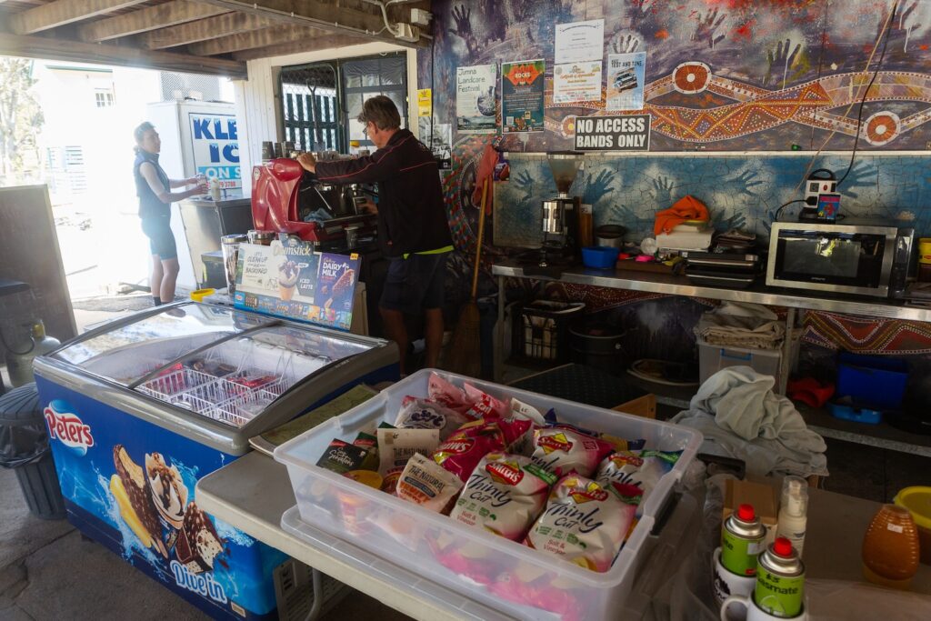
At about 44km you join the sealed Kilcoy-Murgon road, and ride through the remnant forest to Jimna. Beware of vehicles on this route – it is lightly travelled but is a main connecting route. Turn right to Jimna at the 50km mark. There’s a small store in town, a park, toilets and Jimna Base Camp at the old school. This is open on weekends for coffee and snacks – you can also book to camp here or even book out the old Headmaster’s House if you prefer a real roof. With a basic camp kitchen, Jimna Base Camp is ideally placed to make this route a weekend bikepacking route.

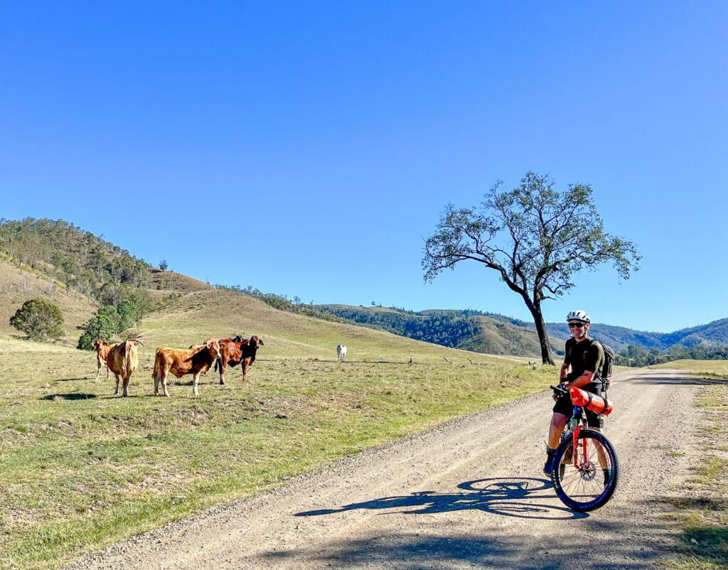
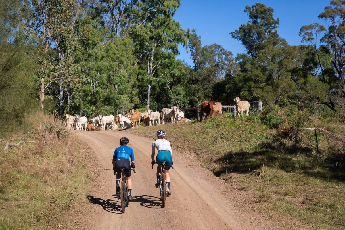
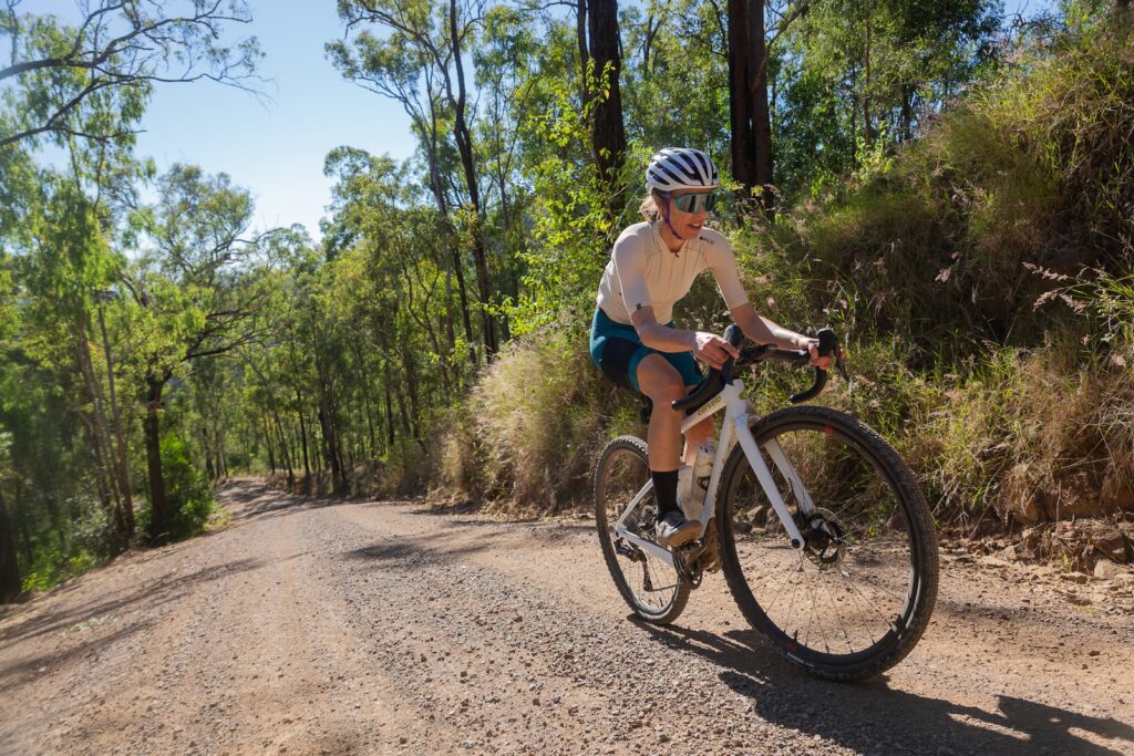
Whether you leave Jimna the following day or after a coffee, do so with full bottles and pockets. The next resupply is back in Kilcoy in about 58km time. Climb School road and rejoin Kilcoy-Murgon Road, which is now dirt. You’ll ride past the old fire tower at and 56km turn hard left and onto a descent. This road is mostly narrow, with some bitumen but mostly dirt. Expect to see livestock on the road on the lower sections – enjoy the descent but be wary of oncoming traffic!

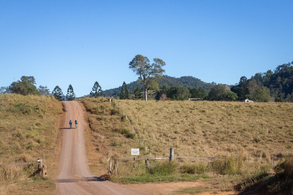
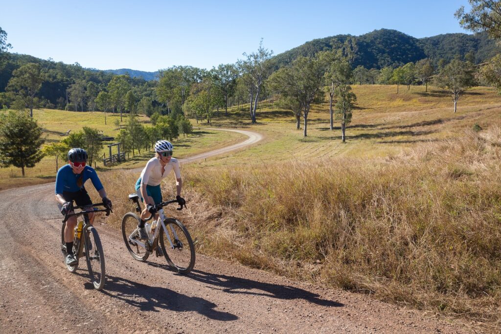
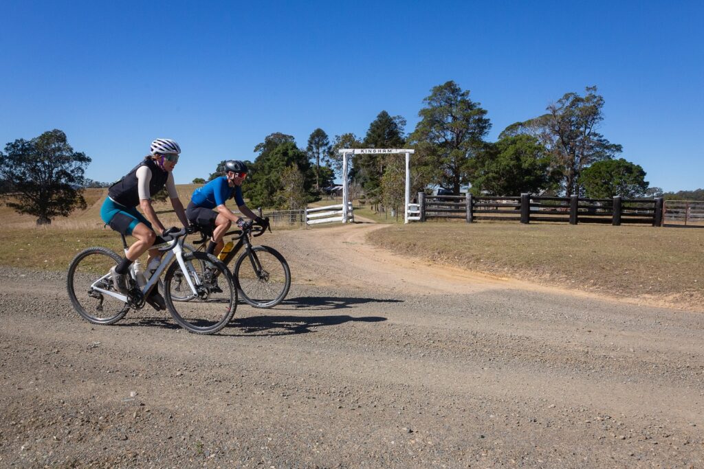
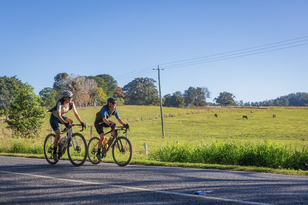
This valley goes through Monsildale, one of the earliest areas to be settled outside of Brisbane. With under 20 inhabitants, you should have a quiet ride down Monsildale Road and along Sheep Station Creek. A couple more routes join the dirt road and there are some minor climbs. At the 90km mark you reach Murgon-Kilcoy Road and return to Kilcoy. This is a main road so ride with awareness of traffic as you head back to Kilcoy.

How to Get There

Kilcoy is about an hour and a half from Brisbane or a little over an hour from the Sunshine Coast. You can park on William St, or near the yowie on Hope St. There’s a bakery and IGA in town to stock up on supplies. You can ride from Caboolture train station, but some parts of the route are less enjoyable by bike. You can even ride to Kilcoy from the Brisbane Valley Rail Trail, using Gregors Creek Road, north of the Yimbun Rail Tunnel.

When to go

We rode the route in late May, which was sublime. But March through to October will likely be great. Avoid the route after extended wet weather, as you do pass through the Conondale Ranges on the way to Jimna. They stay a bit wet!

Eating and drinking

You have a few options in Kilcoy, from the pub through to CJ’s Pattiserie and beyond. Jimna is very limited, with a weekend kiosk and coffee at Jimna Base Camp

Where to stay

Contact Pete at stay@jimnabasecamp.com.au regarding bookings and opening hours.

Sunday Creek Gravel Loop

South East Queensland is awash with adventurous gravel rides. Anyone who scans Google Maps or Strava will see countless potential routes. But a heatmap doesn’t necessarily show a great ride, just a route someone has completed. It is an incomplete story, and you never truly know if it is a good story or a tale of hike-a-bike, lantana and barbed wire fences.

Thankfully, this one or two day route from Kenilworth, in the Sunshine Coast Hinterland, is a stunning ride of about 120km. Do note that this is a very taxing one day gravel ride, and the route used by the Sunday Creek Classic gravel race. There is only one re-supply point for snacks and water at Jimna, approximately half way. Jimna has a small shop, but also Jimna Base Camp. The old school is now a refuge for motorbike riders, events, bikepackers and gravel riders. It is only open on the weekends, but offers camping or even the old headmaster’s house to rent out.

Starting the ride

This ride starts and finishes in Kenilworth. If you park near the Kenilworth showgrounds, you are just around the corner from the bakery and the super market. The showgrounds are a great place to camp as well, making an early start a bit easier. There are toilets, showers and you’re right next to all the amenities of Kenilworth. It’s just $20 for an unpowered site.

Carry at least 1.5L of water as you start this ride – if you have greater capacity, carry more. This is an advanced ride so if you plan to take all day to get to Jimna, carry sufficient supplies for the day. Head north on Elizabeth Street, and stick left to carry on north on Kenilworth Brooloo Road. After a few kilometres, turn left onto Pullen Lane, a dirt road.

Pullen Lane cuts through the forest of hoop pine (Araucaria cunninghamii) and the route will navigate you to Coonoongibber Creek Road after a couple of minor climbs and descents. This is predominantly all smooth riding gravel – however after rain red dirt could be heavy clay, with water in gullies. These are open roads, so keep your daytime running lights on for visibility.

You’ll emerge from the forest and turn left onto Aracaria Creek Road, which becomes Derrier Creek Road as it passes through large horse properties along the flat valley. Turn left onto the bitumen of Yabba Creek Road. This is a quiet road but still a fairly main one, so be aware of any vehicles.

You quickly turn right onto Bella Creek Road, and leave bitumen for a long time! This road leads you up the valley through Bella Creek Station, and onto the infamous Mt Buggery. It is mostly a gentle ride up the valley, across cattle grids and alongside the river. There are numerous crossings, and at times there may be stock on the road. Things are about to get hard, so it is time to eat and drink.

At about the 38km point, you start to climb properly. Not the small rises and descents you have been doing, but steep climbing in a series of ‘you’ve got to be kidding me!’ ramps. This road was graded in May 2024, meaning if you have the legs and lungs you can ride it on a gravel bike. Maybe. Expect to walk some sections. A mountain bike may have more success, but if you’re loaded, expect to walk a couple of sections. Remember, there are two kinds of riders: those who walk, and liars.

As you near the top and pass through some remnant rainforest, you may get a glimpse of Lake Borumba to your left. But don’t be surprised if you miss it while staring at your stem. The next section is rolling gravel roads, in and out of tree cover. You pass through a couple more major properties, including Kingham, on your way to turning left at Murgon-Kilcoy road at the 58km mark.

This is an unsealed road at this point and will have some traffic – but not much. It can have a lot of corrugations as it climbs and descends the ridgeline to Jimna. Turn left on School Road at about the 73km point. This is sealed road and it is just a past the iconic Jimna Fire Tower.

Bicycle Queensland membership includes public liability and accident insurance – perfect for gravel riders! Membership also supports this resource, and includes several discounts at retailers and service providers.

Jimna Base Camp is open on the weekends, with coffee, snack food to buy, plus toilets, showers, camping and accommodation. This place really is your saviour on a one or two day ride! It’s not quite all downhill from here, so fuel up and stock up for the return leg.

Climb on the road out of Jimna and turn left again onto the main road. You’re in a mix of remnant and regrowth forest, with some towering pines and rainforest species either side of the road. The gravel race takes a different variant out of Jimna with some singletrack and doubletrack – but that is not covered on the provided route.

Take a left onto Sunday Creek Road, and a quick road descent to cross a bridge before a steep climb out. Get used to this rhythm of climbing and descending, as the route profile doesn’t show the true breadknife nature of the next 25km or so.

You will mostly be climbing, and entering temperate forest with the associated weather. Again, avoid this route after prolonged rain. Red dirt makes the going very hard, and a lot of rock balast has been added to help make the road more weatherproof. This can create a lot of fatigue even for experienced riders, and the rocky balast can cause pinch flats and tyre cuts for those ready to send it all the way back to Kenilworth.

Respite will come though. From the 90km point the route is almost all downhill save for small rises, and at the 103km point you have a steep, uninterupted downhill. This is a popular route for 4WDs so as always, stay left. But if you get the chance, pull in to the lookout before your final plunge into the valley at Charlie Moreland Campground. Depending on the weather, it might be a great time for a swim!

From here, the technical challenges are over. It’s a grind back out to the road on a mix of smooth gravel and bitumen. Turn left onto Maleny-Kenilworth road for the final stretch back to Kenilworth and a chance to refresh and refuel!