Imagine if you could ride from Ipswich to Gladstone on rail trails (and some back roads)?
Well, one day you might be able to. At present you can ride Ipswich to Gladstone on rail trails for a good chunk of it, and dream of more.
Route breakdown – day by day
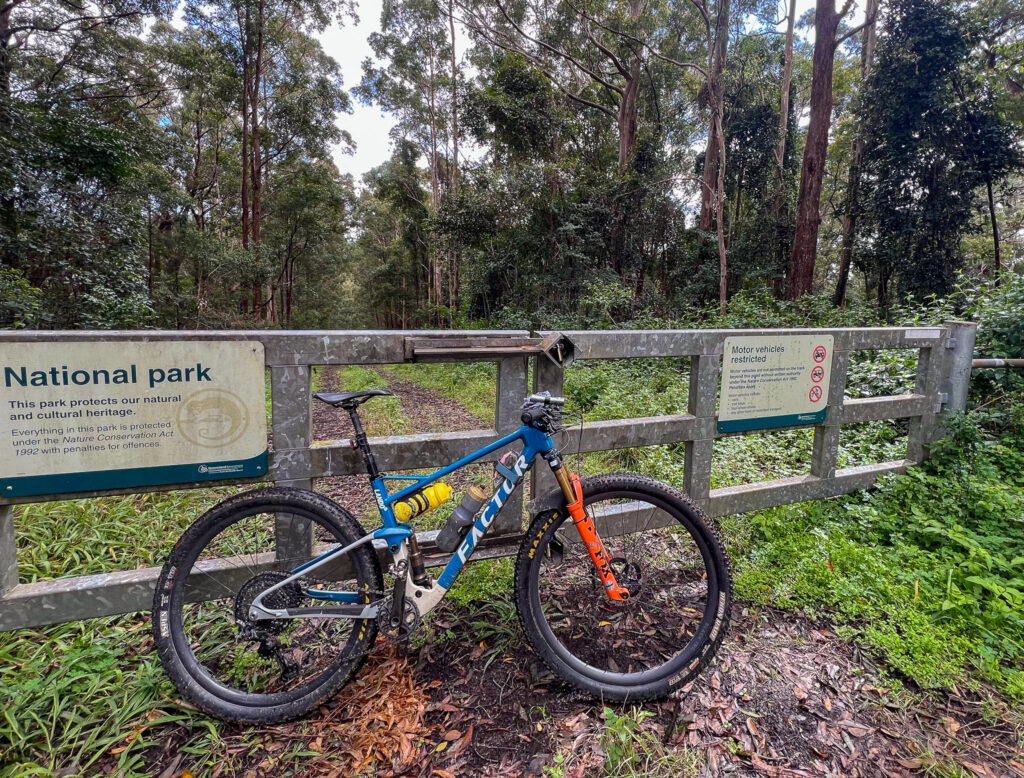
This route has been provided by BQ’s Director of Advocacy Andrew Demack, who rode the route in 2021. In part, this was to celebrate the opening of the Barrimoon Tunnels section of the Boyne Burnett Inland Rail Trail was opened.
While change is slow in a lot of regional Queensland, it can be fast enough to catch out intrepid bikepackers – or offer up an opportunity you may not be aware of. Since the time of writing Kirsten’s Cottage in Builyan has changed hands, and its opening hours have also changed. The Grand Hotel at Many Peaks has reopened. Craig and Desley O’Grady are the new owners and this is a very bike friendly establishment to plan for a stop. We encourage you to research and verify any of the stops you will need for food, water or accommodation.
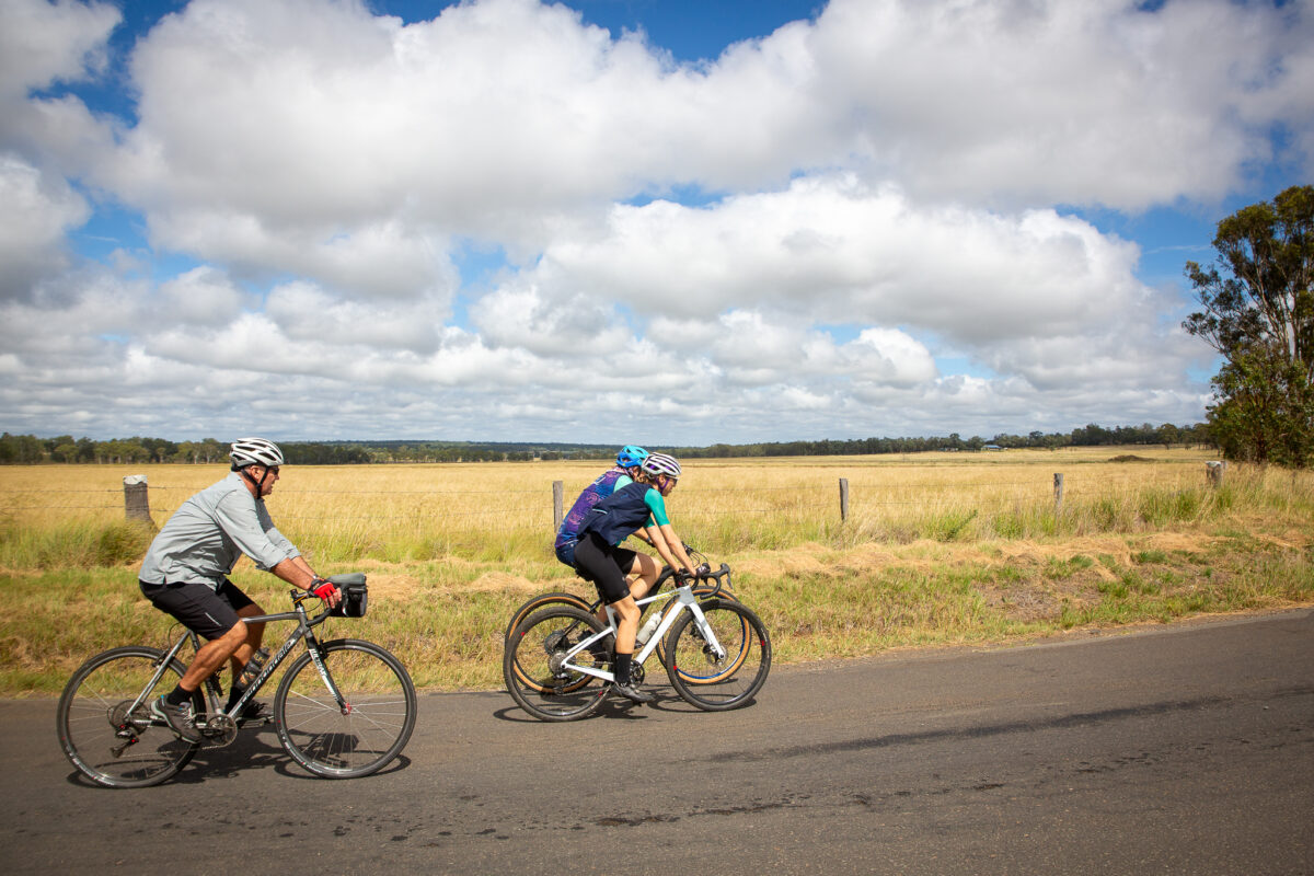
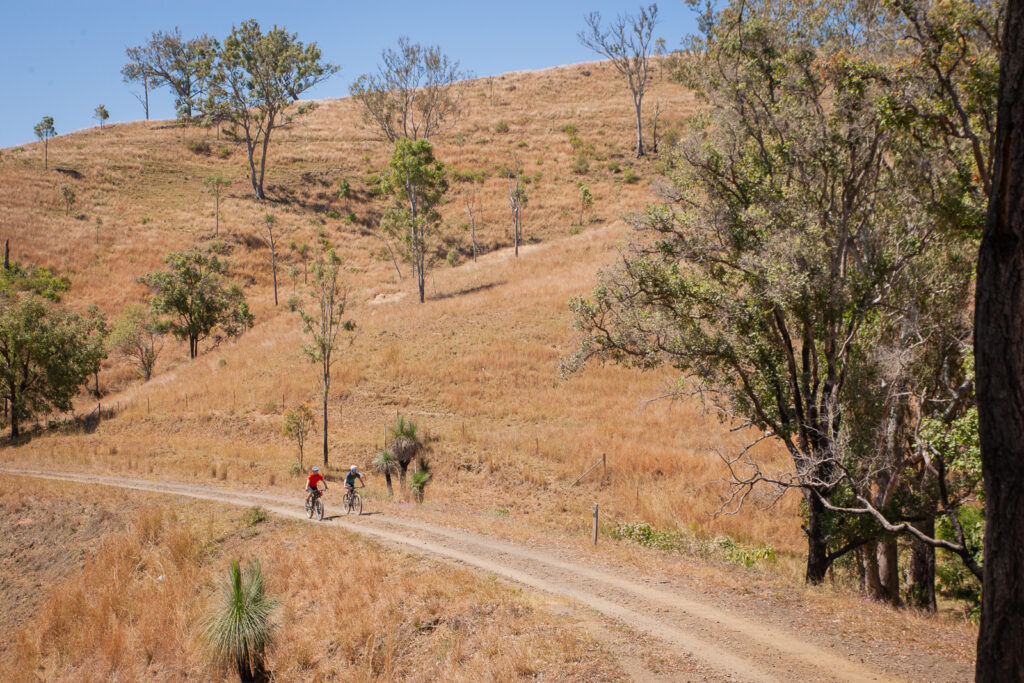
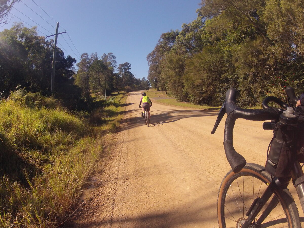
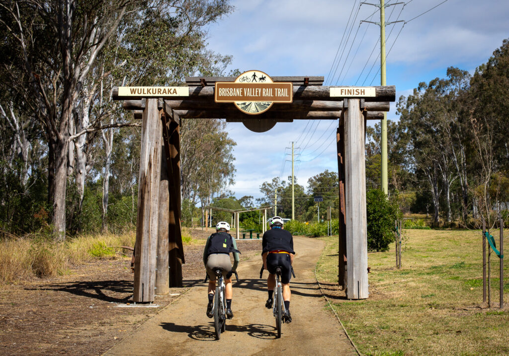
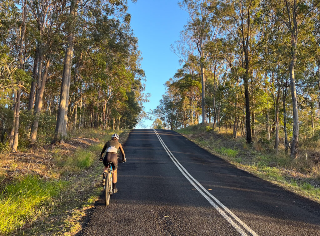
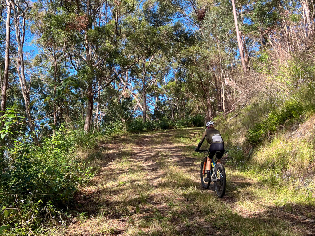
A meander through SE Queensland, utilising 50 cent fares to get to Rosewood for the start, and to leave from Ipswich once the ride is complete. This loop utilises the Brisbane Valley Rail Trail (BVRT) and part of the Terra Australis bikepacking ultra course. I completed this ride in 5 days, but it could be done in a longer or a shorter period of time.
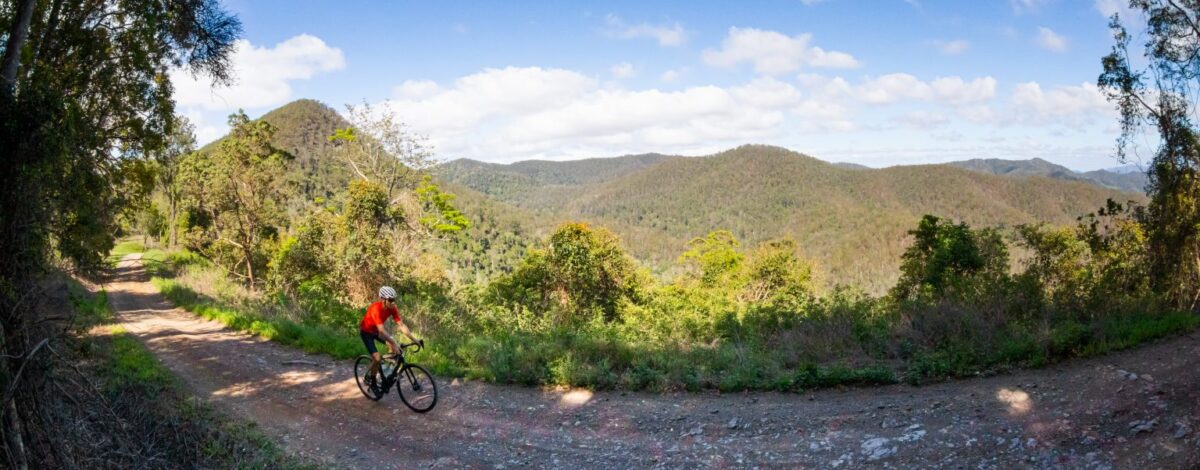
Passes through quiet rural backroads, a lot of farmland, with sweeping vistas of Lake Moogerah, Mt Superbus and Cunningham’s Gap. A steep climb to finish the day before emerging on the stunning plateau of White Swamp.
Day 2: Koorleah National Park to Leyburn
A brutal climb to start the day, up to 1000m above sea level, passing through clouds and old growth rain forest, before a beautiful and well earned descent into Killarney for a warm coffee and a refill of water. From Killarney you pass through Tannymorel and enter more farmland before entering Warwick. From Warwick you traverse Sandy Creek Road and pass through Pratten before some stateforest riding before Leyburn, with Queensland’s oldest pub and a free campground with hot showers.
Are you a member of Bicycle Queensland?
Being a member of BQ supports our advocacy work to make Queensland a safer and more connected place to ride – both on road and off. You also get peace of mind with public liability insurance and accident insurance – there’s even free legal advice available in the event of an accident and income protection!
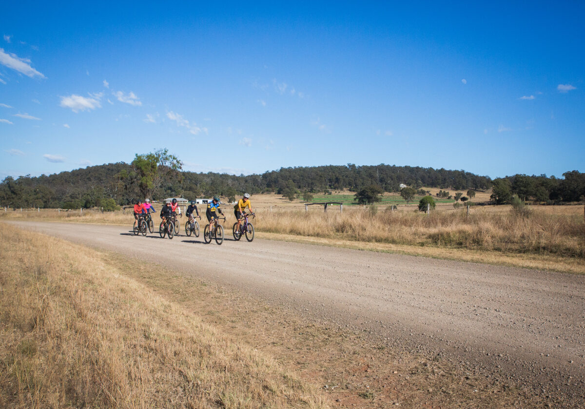
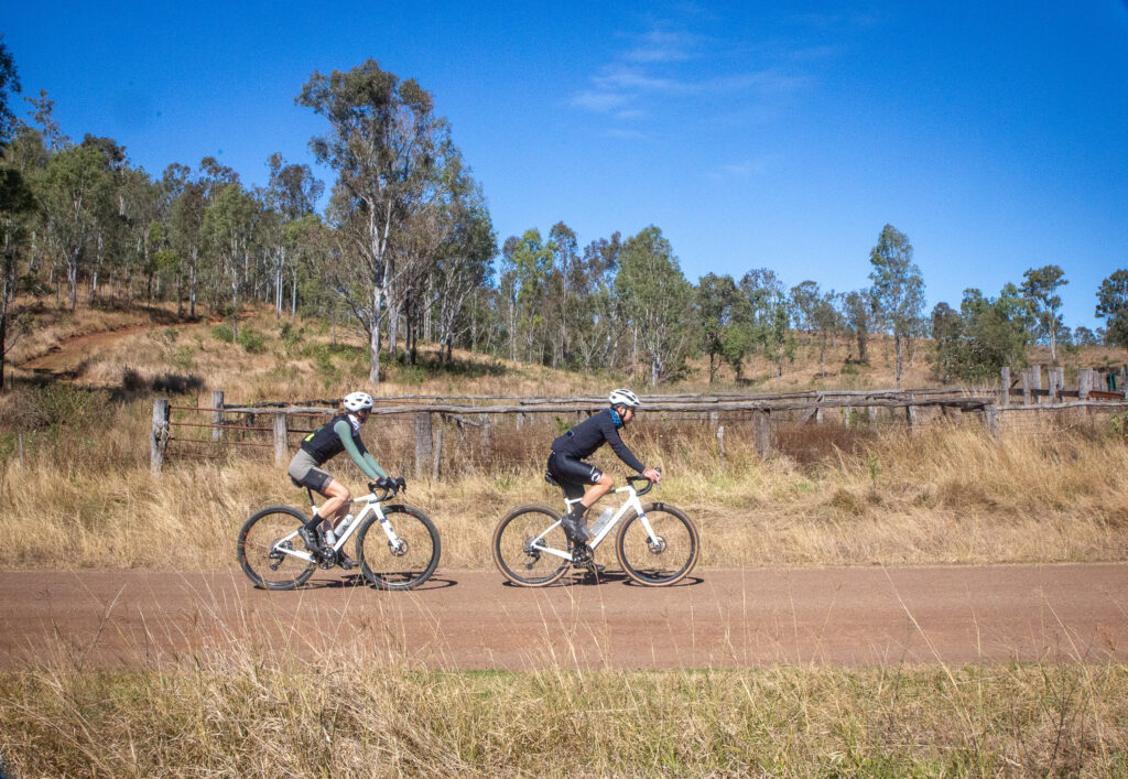
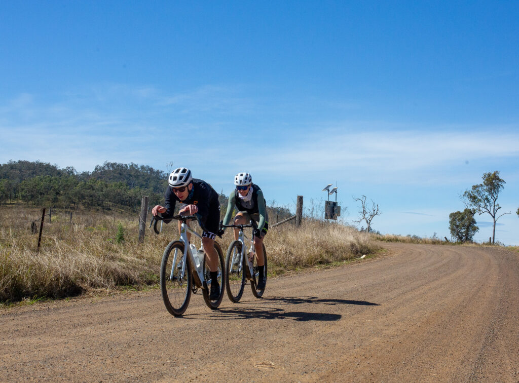
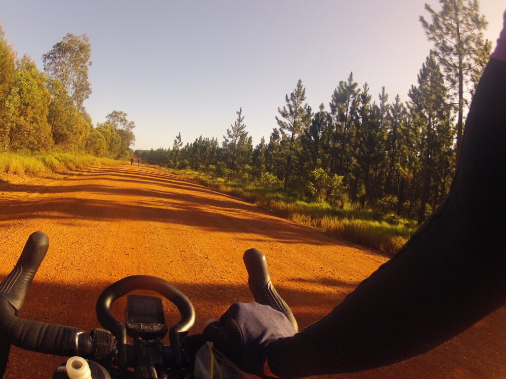
A beautiful ride on a dirt road to Millmerran, before 3 to 4 hours of isolation, red dirt and beautifully undulating terrain in Dunmore State Forest. Cecil Plains has a wonderful small shop, a post office and a pub, before continuing on to Dalby on some of the flattest roads in south-east Queensland.
Day 4: Dalby to Linville
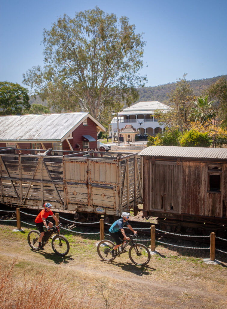
A hard day after the mostly flat day 3, especially with a headwind as I had. You will pass through more wheat fields and lots of quiet dirt and rural asphalt roads, as well as passing at the foot of the Bunya Mountains. A well deserved break comes in the form of the Cooyar Hotel, with cold drinks and lunch that is open a few days of the week. The ride up Mt Binga to Blackbutt can be a sore one at times, however I have never been more excited to see the BVRT in my life after a quick stop off at the Blackbutt Bakery and local store for some supplies for the following day. The Rail Trail Refuge is an amazing place with lovely owners, and a soft bed after a plunge in the pool and a dinner at the Linville Hotel was amazing.
Day 5: Linville to Ipswich
A full day on the BVRT, passing through well known towns and being swooped by the locals. A welcome reprieve to not have to worry about traffic.
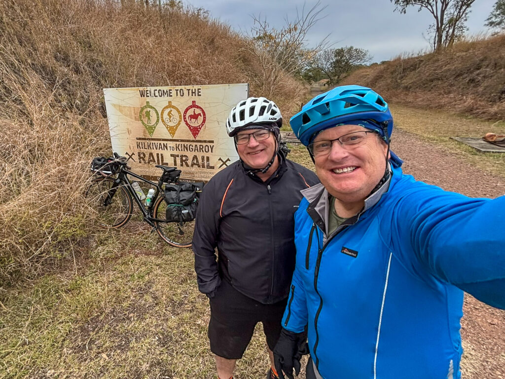
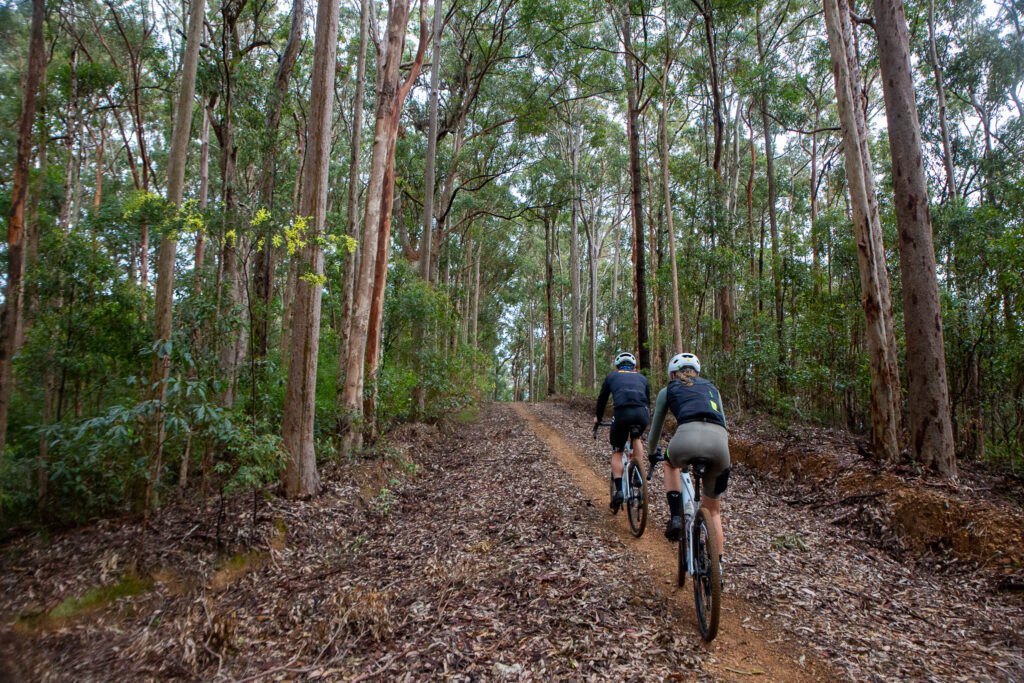
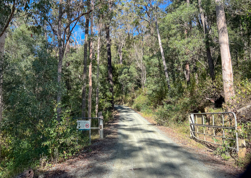
Connecting the Kilkivan to Kingaroy Rail Trail (KKRT) to the Brisbane Valley Rail Trail (BVRT) is an attractive prospect for both intrepid cyclists and those keen to see more of Queensland by bike. The ride connects two stations and combines scenic roads, rail trails and old routes that covers roughly 394 km with about 3000m of climbing. We have a suggested route breakdown for 5 days – some will do it in less, some may do more. You can also opt to use a shuttle to get to Kilkivan – or even the local school bus if you travel out on a week day.
This route can be done as a ‘flashpacking’ trip staying in booked accommodation – or pack the tent and sleep system for the full bikepacking experience.
The route
Starting out from Gympie, the route heads into the undulating hinterland via Gympie-Woolooga Road. It climbs steadily, with the early hills warming up the legs. At Smith Road north of Woolooga you’ll trace north of the original rail alignment, and curve pack south to cross the old rail corridor at Oakview, before following Bular Road into Kilkivan. This makes 80km for the day thus Kilkivan is an ideal first night stop.
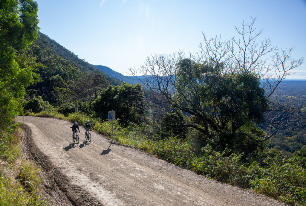
From Kilkivan the route swings south-west towards Kingaroy on the KKRT, which is well signed for the entire route. The first half of the rail trail may be rough and ready, and take the descents into gullies with caution after storms. The descent into the South Burnett region is a treat with gentle grades and a move to a sealed surface for fast rolling. The region has some charming roadside stops; make time for a coffee stop in Wondai! You’ll arrive in Kingaroy with just under 90km for the day.
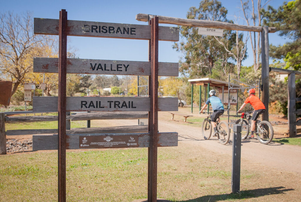
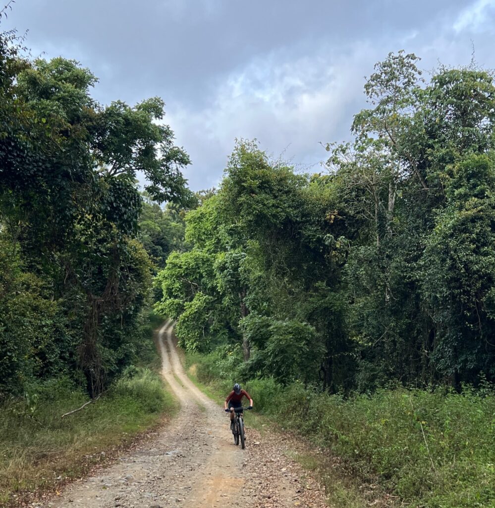
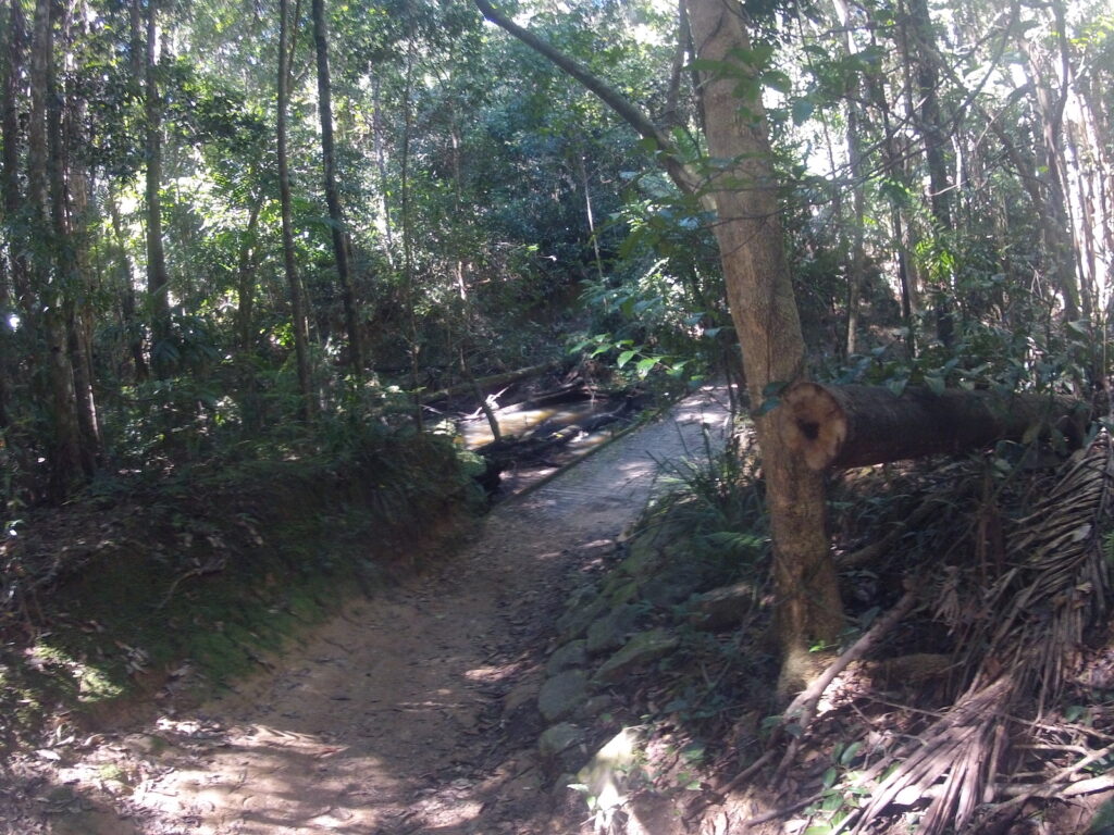
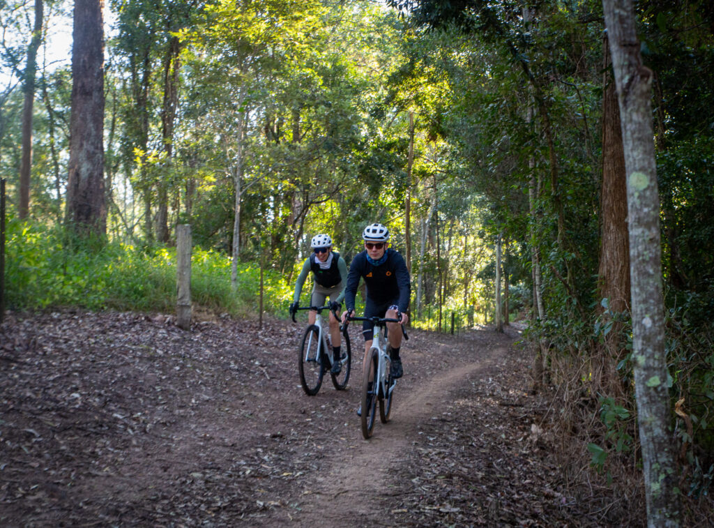
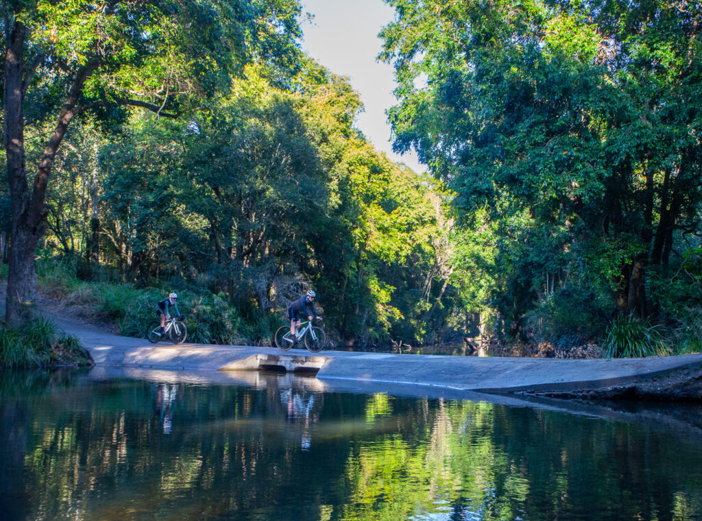
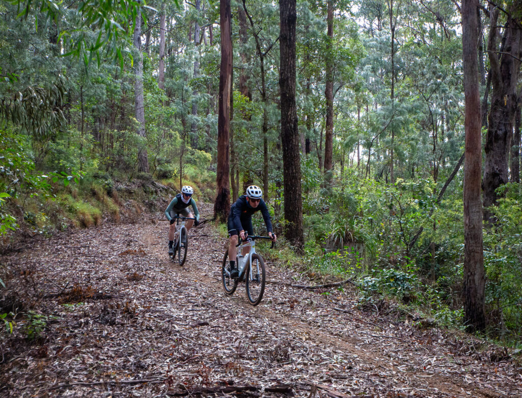
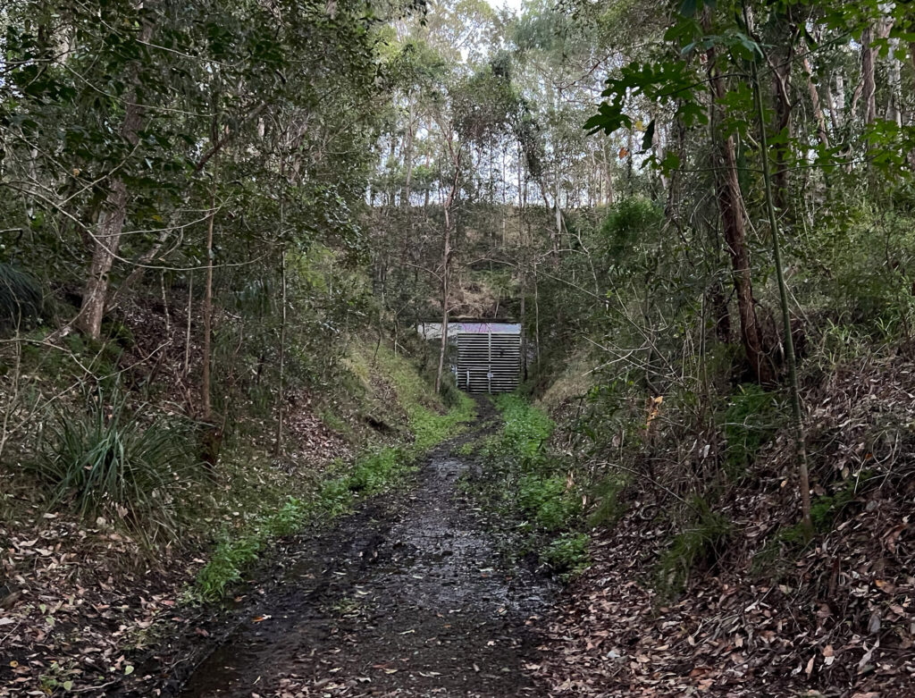
Day 3 brings the Link Trail, or a version of it. This connects the KKRT to the BVRT. Much of the ride is on sealed roads, this section offers gravel or mixed surface, bringing texture and variety. You’ll roll through bushland, past historic railway relics, and tackle a pretty unique river crossing before a climb out of the gully. Yarraman is on the horizon which makes a great stop for the night – and maybe dinner at the front bar of the Royal Hotel?
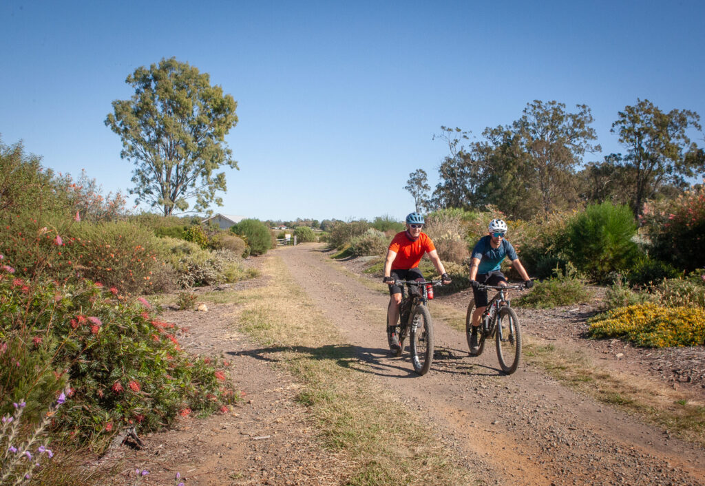
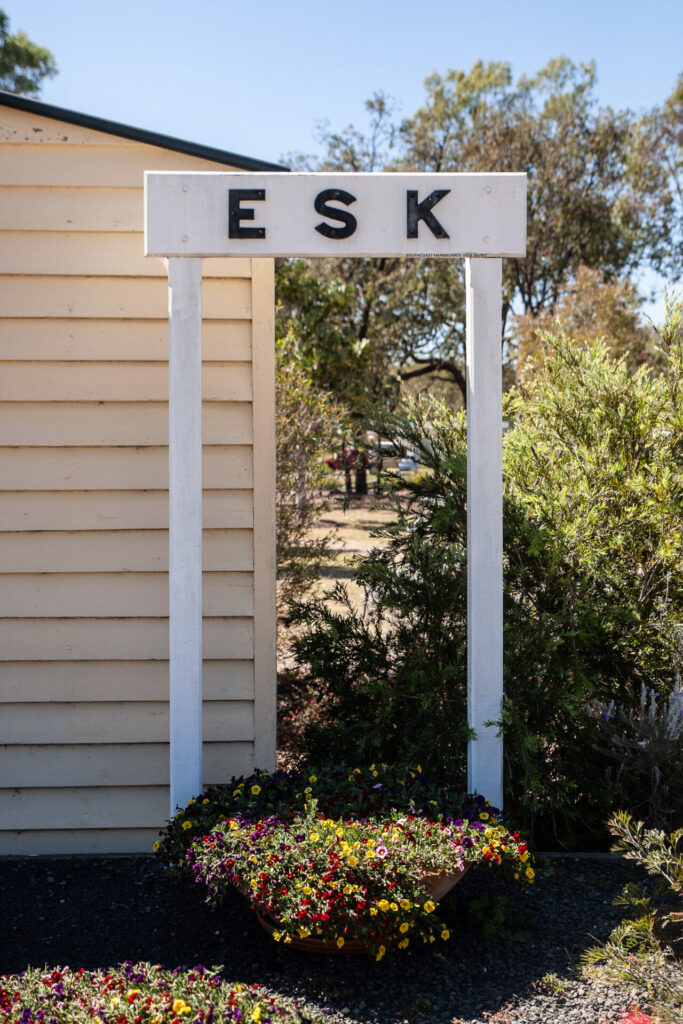
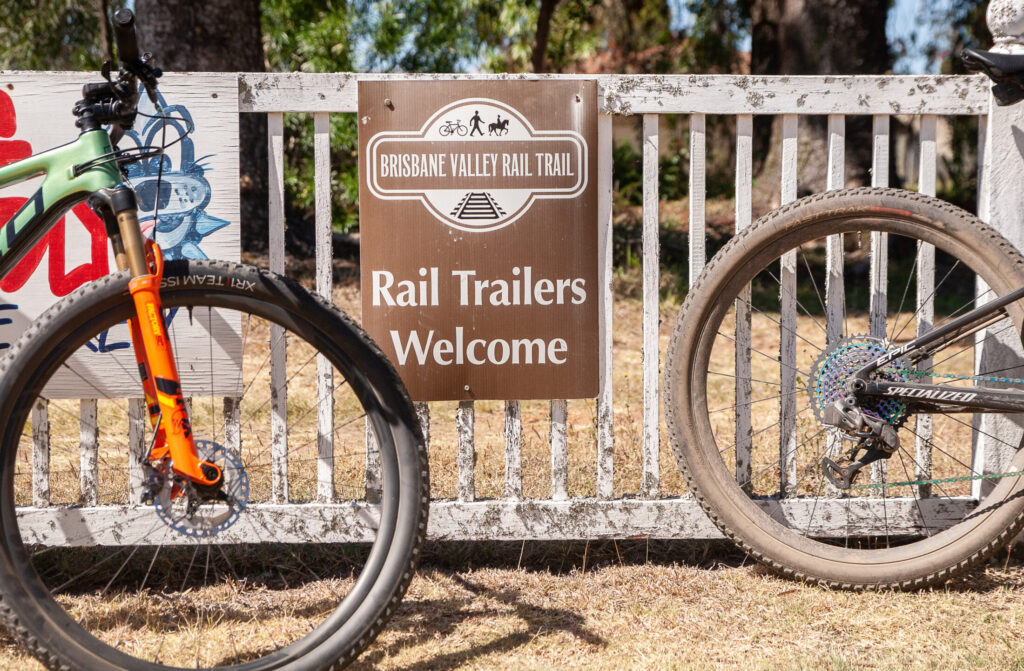
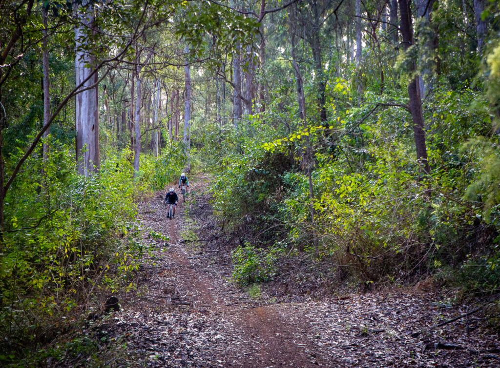
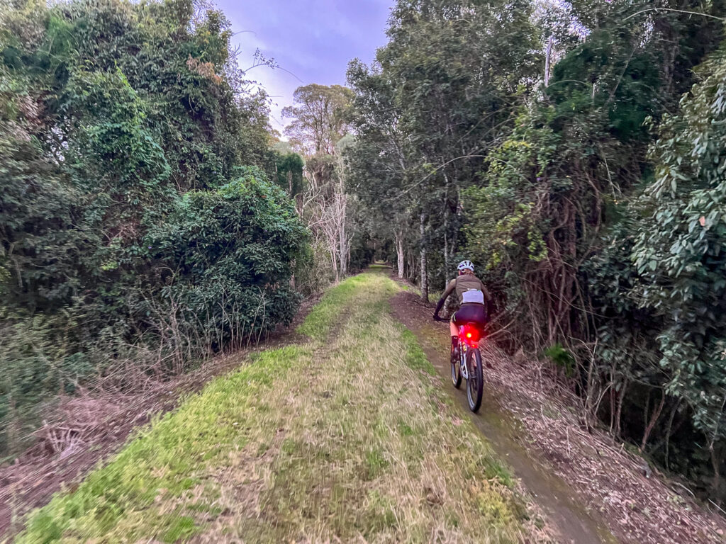
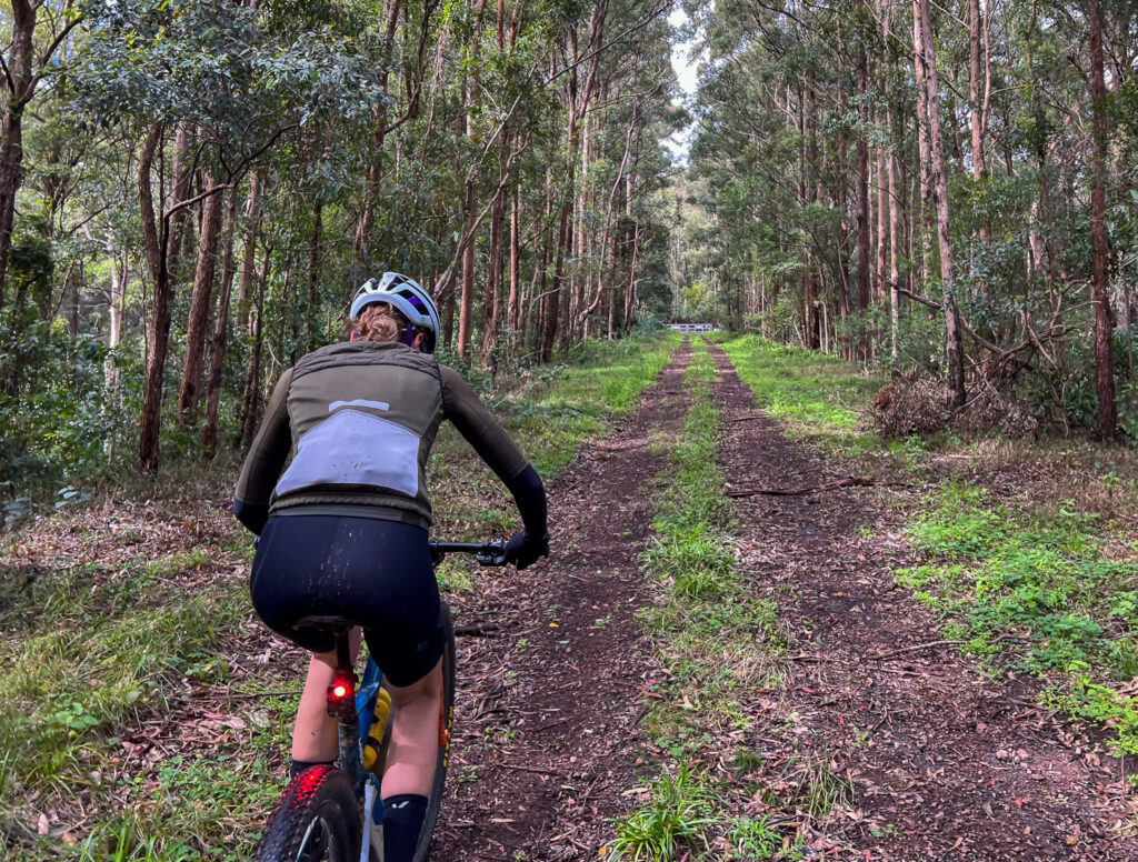
The next day is pretty easy rolling, follow the BVRT from Yarraman to Esk, covering about 80kms. The first stretch is classic country Queensland to Blackbutt (don’t miss the bakery!) before rolling down the range to Linville. Don’t miss Linville as a lunch stop, before pushing on to Esk for the evening. This day is all off-road on the most popular rail trail in Queensland.
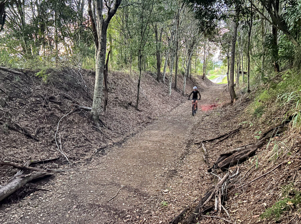
The final stretch from Esk back to Wulkuraka (or Ipswich) delivers a flatter route and fast rolling rail trail. The oute passes through historic towns, with Fernvale well-placed for an early lunch (or second breakfast). The final run in to Wulkuraka is fast and amooth through the outer suburbs, and when you pass under the trail head sign you’ll have completed an epic journey!
What makes this route especially appealing is the balance. Yes, you’ll ride almost 400km and do a healthy dose of climbing but you also ride through a mix of landscapes and moods: from remnant rainforest fringes and timber country to open agricultural plains and winding backroads.
When to go
This route is best travelled between April and October, to avoid the hottest temperatures. Expect a bit more wind in winter and a few encounters with magpies from August onwards.
Eating and drinking
Water and food are available at regular intervals – but do stock up and be mindful of how long it will take you to get to your next stop. If you’re travelling mid-week, double check opening times so you don’t end up missing out!
What bike
A gravel bike or cross-country style mountain bike is a great option. Depending on the amount of days you choose to tackle the route, an off-road capable e-bike would be great – just don’t forget your charger and have an understanding of the range of your bike – especially when loaded.
Head to the Komoot link to download the full route as described.
In the north-west of Brisbane there are plenty of adventures to be had by bike. This loop suits a gravel bike for those with a wide gear range, or a mountain bike. It is not too long but given the demands of the opening climb it deserves respect – and a very early start if tackled in the hotter months. This route was covered in more detail by Cyclist Magazine several years ago.
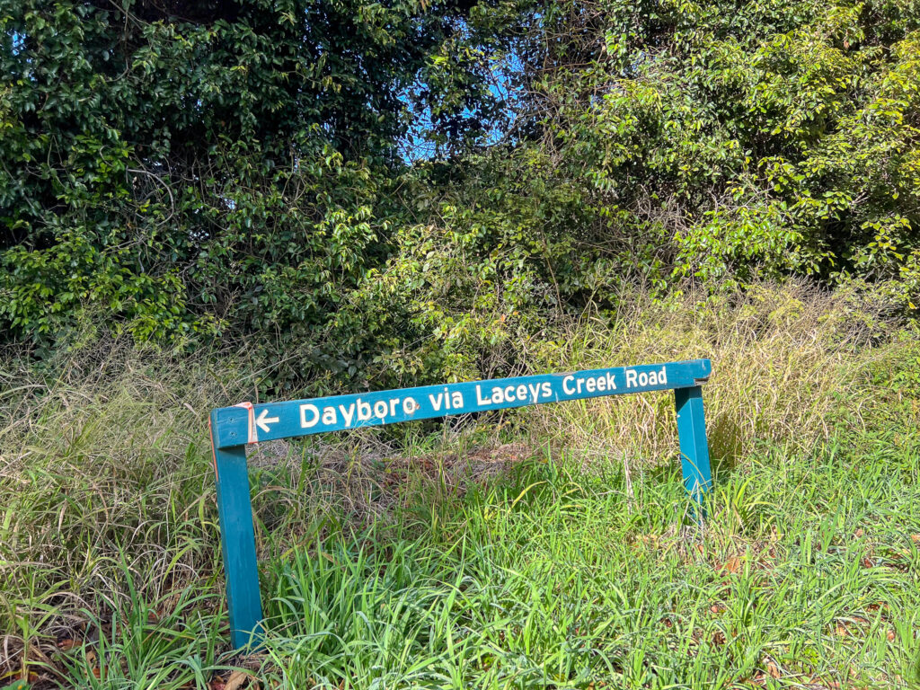
The route starts and finishes in Dayboro, where there is parking opposite the bakery, along with water, toilets and a parking area. There’s also a small supermarket and a myriad of cafes to enjoy post ride. Make sure you take enough water – there are no options to refill on the route. This also means you need to be self-sufficient for food and spares and injuries. So be prepared accordingly.
Are you a Bicycle Queensland member? Membership includes accident and public liability insurance coverage for all kinds of riding, including free legal advice after an accident. BQ Members save at a variety of retailers, and BQ Membership supports our advocacy work and this Where to Ride resource.
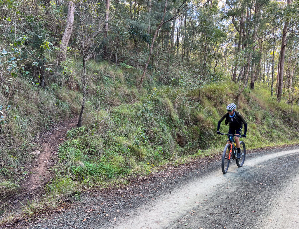
The ride follows Laceys Creek Road until it becomes Range Road near Raynbird Creek. The climb up the range has been regraded in the middle of 2025, but conditions may deteriorate after storms. The climb is steep and gets the sun early. The top third has more shade and once it levels off, you do swap sides of the ridge as you do a near hairpin.
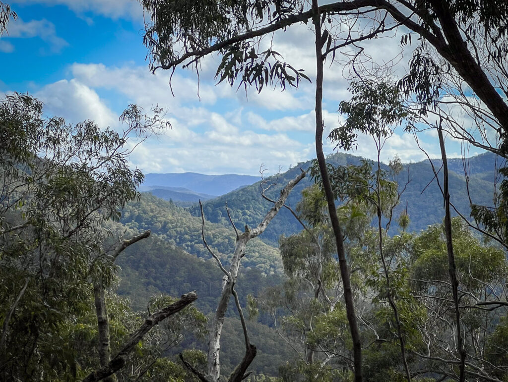
You’ll enjoy expansive views to your left, including glimpses of remnant rainforest – a sign of things to come. The road is open to 4WDs and motorbikes (or any vehicle choosing to go there) so be mindful of oncoming traffic. It does get quite rough as you approach Kluvers Lookout, which looks down on Laceys Creek Road, where you have come from. This is your high point for the day – physically and hopefully in other ways as well.
View from Kluvers Lookout
The descent from Kluvers can be rough on a gravel bike, so due caution is advised. From here the gradients are mostly more civil, but you cannot escape the feeling that you are riding along a bread knife. One you go up, it is time to go down again so you can go up again.
You can’t park there mate.
There are a number of spur trails, some for horses, some that head to Mt Mee – but stay on the ridgeline and on Range Road. When you reach a T intersection, take the right hand turn onto Chambers Road and down to Mt Pleasant. Turning left would take you to Mt Mee (eventually!)
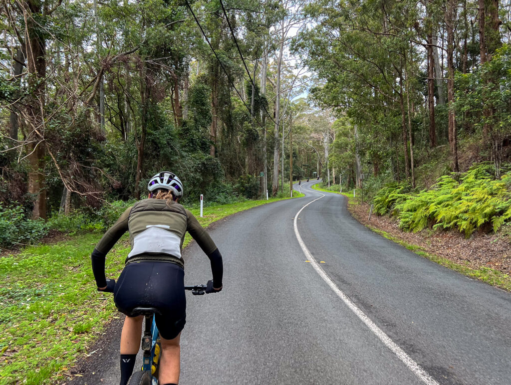
Once on Mt Pleasant Road you are back on sealed road, which takes you all the way back to Dayboro. There are numerous small climbs, but overall it is a pretty valley road. Enjoy your time refuelling back in Dayboro!
Are you looking for a mixed terrain ride on the Sunshine Coast? This ride has been submitted by Andy – it starts and finishes in Pomona and somehow manages to not have a totally ridiculous amount of climbing!
With the start and finish in Pomona access by rail is a great option for those travelling to the Sunshine Coast. About half the route is paved, but with some extended gravel sections and a stretch on the Noosa Trail Network – a gravel bike is recommended.
The route goes through Cooroy at about halfway – an ideal time to refuel!
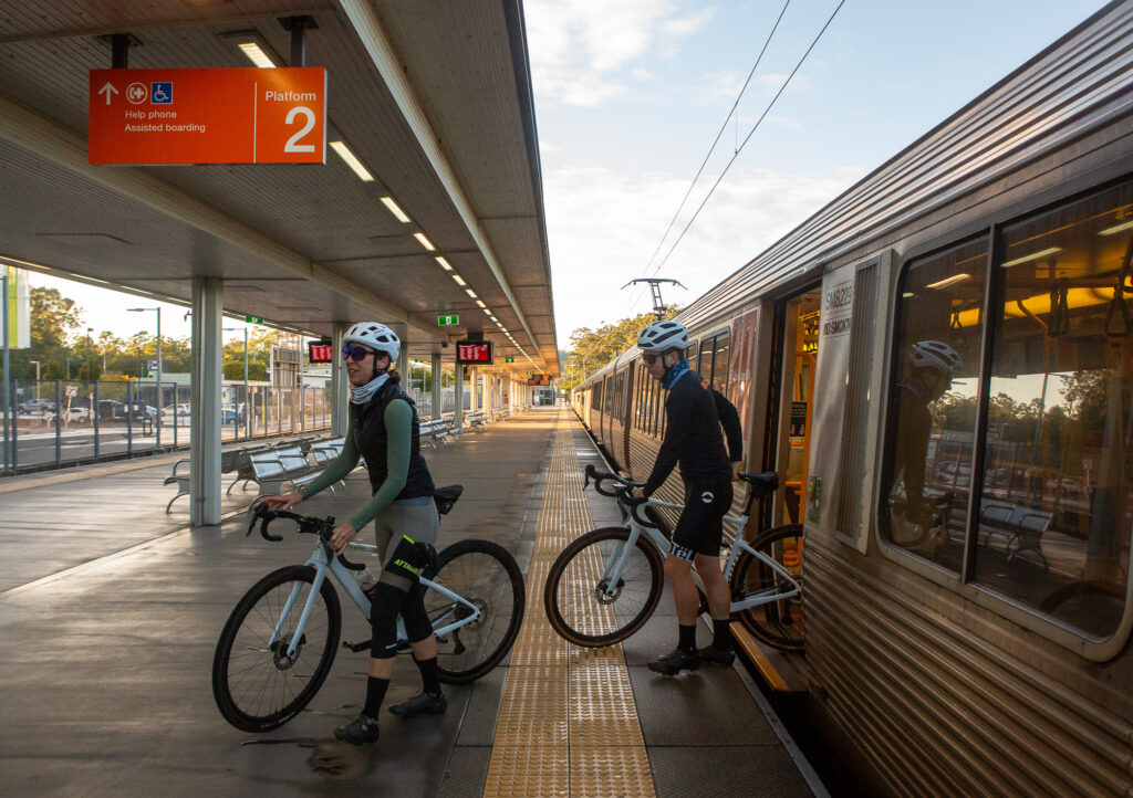
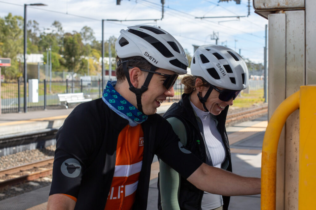
There are nearly endless different rides we can do. Rides that take us to new places, unique vistas and places of interest. The difficulty can be getting to the start of new rides, as working within a rideable distance from home can limit your route options. And that is exactly why Queensland’s 50c fares on public transport are such a good thing – not just for multi-modal transport where the network allows – but for recreation as well.
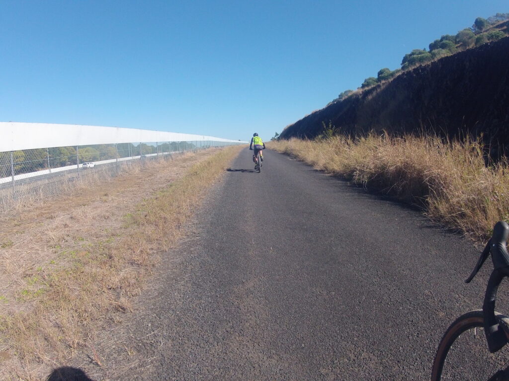
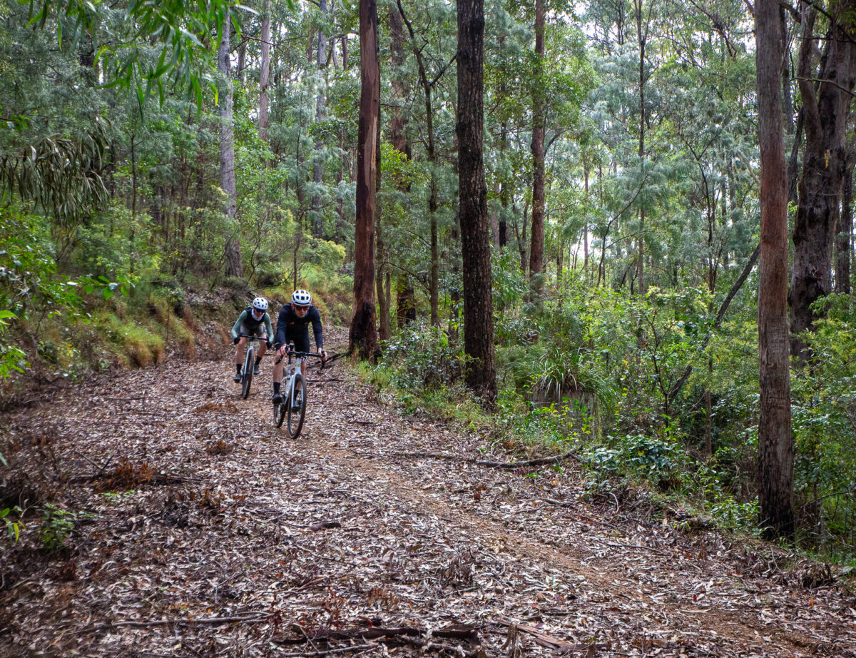
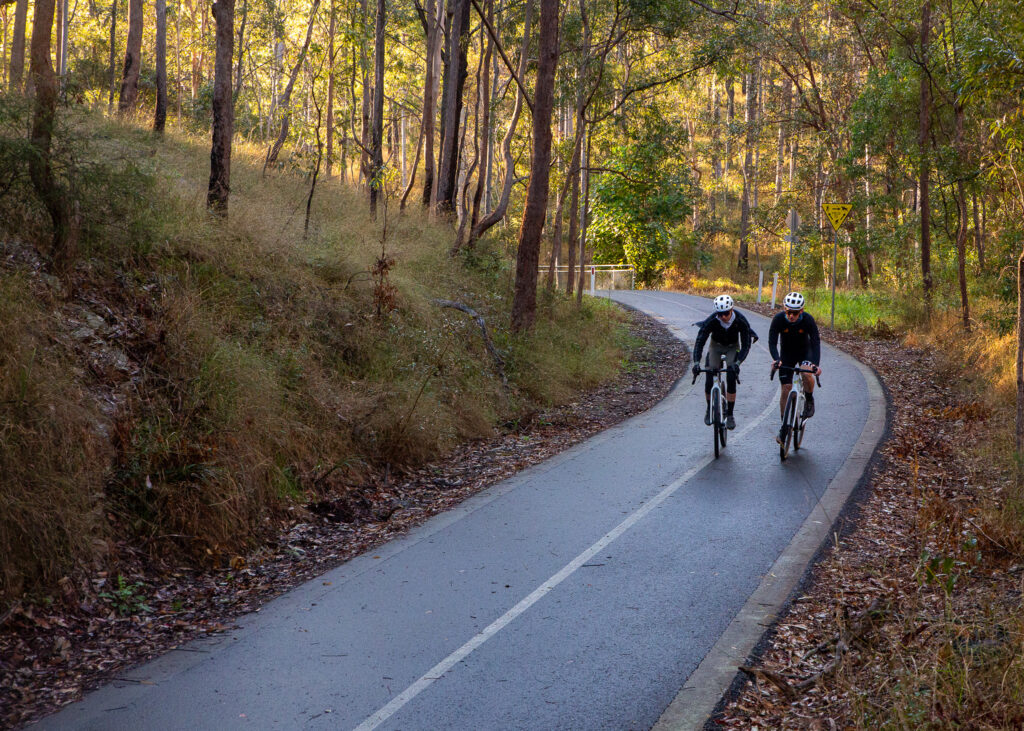
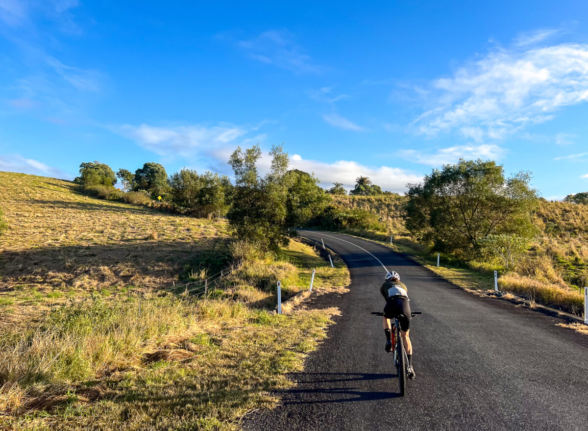
The BQ team are loathe to load a bike into a car for a bike ride, but jumping onto the Ferny Grove line for this gravel adventure was appealing. This ride is close to 75km and in general it is a mix of back roads, rail trails, shared paths and a few roads. There is a section of dirt road and also a forest road section that can be quite steep. From Goodes Road down Whoa Boy to Banks Creek Road has multiple steep pitches with a combined descent of around 600m. Due to this section, consider this an advanced gravel ride, or moderate mountain bike ride.
THE RIDE
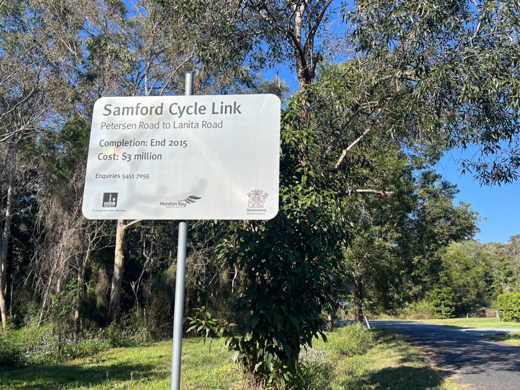
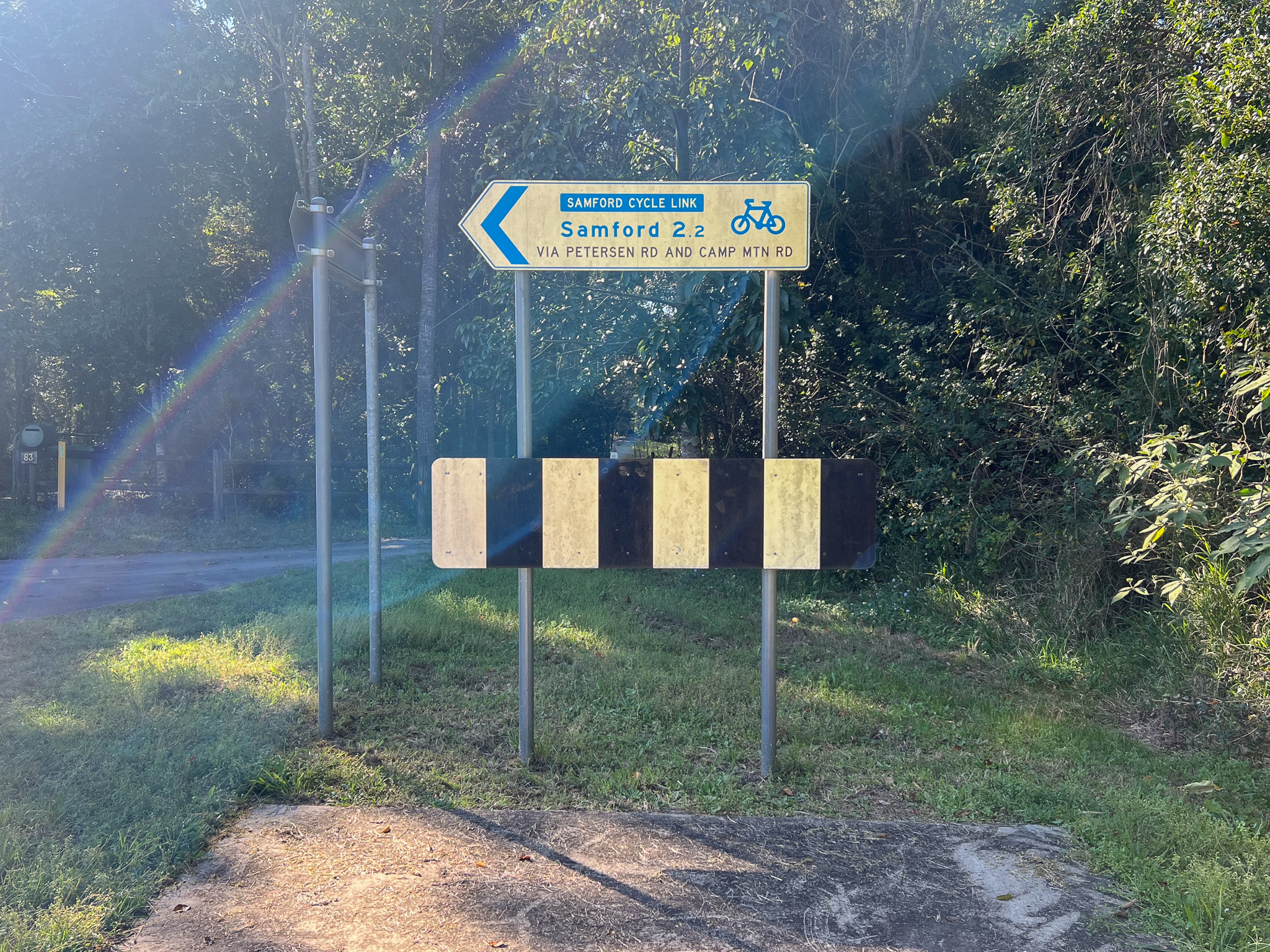
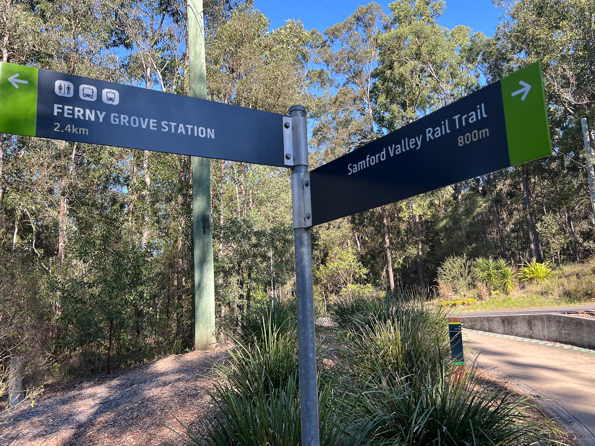
This ride starts at Ferny Grove station, head onto Lanita Road and the Ferny Grove to Samford Rail Trail link. This is a very gradual climb that becomes shared path, taking you to Camp Mountain and onto McLean Road South, where the memorial for the Camp Mountain Rail disaster is. 16 people lost their lives here on 5 May 1947.
Follow the route through to Samford via Camp Mountain Road and Cash Avenue. We stopped at Long Yard Larder for coffee, and the park across the road has water, toilets and even bike tools and a pump!
From Samford you need to get to the Goat Track, a one way mostly dirt road that climbs the D’Aguilar range. We took some of the pony trails along the South Pine River. These form a network across the Samford Valley, connecting lots of roads and parks. They are multi-use so be mindful of horses, walkers or dogs off lead. We took Mt O’Reilly Road past the Samford Showgrounds and to the base of the Goat Track, which is open again after extensive repairs.
With a 20kmh speed limit, the consistent gradient makes this one of the best climbs across the whole D’Aguilar Range. Turn right at the top onto Nebo-Mt Glorious Road, and continue up to the Goodes Road tip. It’s time to go off-road. Through the tall forest the trail is wide and easy to follow – at Dundas Road Bush Camp you may fill your bottles, but treat the water. Take the path straight ahead – this is still Dundas Road.
The trail descends with some steeper sections, rising again to follow the ridgeline. At the next intersection stay left – to the right gains private property. The descent will mostly have one good line, and still has a series of rises, until it tips off to the right and you’re on Whoa Boy. This section is known for the water bars and demands full attention. For an experienced mountain biker it will be a lot of fun. An experienced gravel rider will enjoy the challenge. A loaded bikepacker may find it a nightmare. This is the most difficult section based on the pitch, so if you’d rather walk – walk. It’s only a few sections that are a couple of hundred meters long. Mostly it’s a lot of fun!
At the very bottom you end up in a clearing – frequently it is over grown but turn right. If you end in a creek, turn back! You’ve gone too far. The trail carries on through a couple of creek crossings to a forest entry gate with a horse step over. You have arrived in Banks Creek.
Stick to the well-formed gravel road and pedal on towards Fernvale! There is one rise but the route opens up a lot more with views back to the range and beyond into the Brisbane River Valley. While it’s a very quiet area do be aware of oncoming vehicles and stick left. Follow the signs to Fernvale, across the river and into town – we stopped at the new Splityard Social café, but were too early for hot chips… the coffees and sausage rolls were still welcomed.
From here you follow the Brisbane Valley Rail Trail towards Wulkuraka. The Brassal Bikeway leads you from the trail head to the station, and you can even use it to get to Ipswich station instead if you’d rather skip the train change.
How to Get There
Ferny Grove is at the end of the Ferny Grove line. Use the Translink website to plan your route – and check line closures, the extra ride back to Brisbane might not be appreciated by your ride buddies if you don’t…
When to go
We rode the route in early August. March through to November will likely be great. Avoid the route after extended wet weather, and avoid the peak of summer given the length of the ride.
Eating and drinking
Samford Village has a number of choices, as does Fernvale. But stock up for the gap in-between.
The D’Aguilar Range west of Brisbane is full of delights for bike riders and outdoors fans. From the rainforest walks near Mt Nebo, Mt Glorious and of course Mt Mee, through to gorgeous rock pools to explore. With few roads crossing the range, much of the exploration needs to be done off-road, on a series of old forest roads. Many are in exceptional condition, some are lost as the forest slowly recovers from being aggressively harvested.
This loop, as shown, starts in Highvale, previously known as Highlands, near the base of the Goat Track in the Samford Valley. But depending where you are coming from, Samford Village is a more logical point to start if driving to Samford Valley. Alternatively, catch an early train to Ferny Grove and take the Ferny Grove Cycle Link through to Samford to join the route.
Much of this route is on the road, with care taken to avoid as much busy roads as possible. BQ recommends day time running lights when on the road. While only 10-15km is truly off-road, you still need an off-road capable bike. A gravel bike is fine, however the climbs are steep. A good cross-country mountain bike actually works very well on this route.
A gravel bike is ok, but for gearing a mountain bike may be preferable
The ride
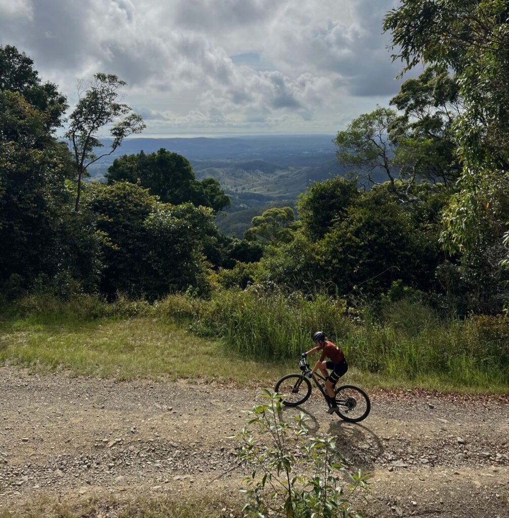
We started from the end of Macs Road off Mt Glorious Road – you can park near the cricket ground. We tackled the route anti-clockwise, which backloads the climbing into the route. If you want to climb first, climb the Goat Track to get atop the D’Aguilar Range – as opposed to following the route which is traced from descending Mt Glorious Road.
We rode behind Samford Valley, past the Showgrounds and along Mt O’Reilly Road and Greggs Road, turning onto the brief rail trail tha heads to Yugar. This can be wet after heavy rain, and has a steep climb out next to where the old rail tunnel is. It’s now a bat research centre! Although previously the cutting, on the other side, was used as a tip. This rail line to Dayboro and on to Petrie was closed in 1955. Much of the corridor has been resumed by private land owners so unfortunately a rail trail from Ferny Grove to Petrie will never be possible.
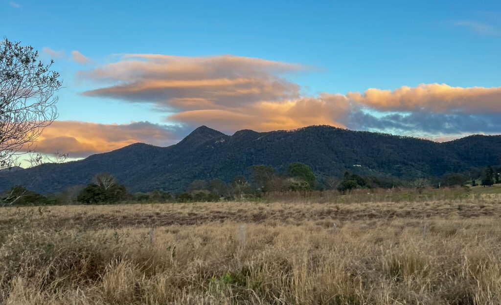
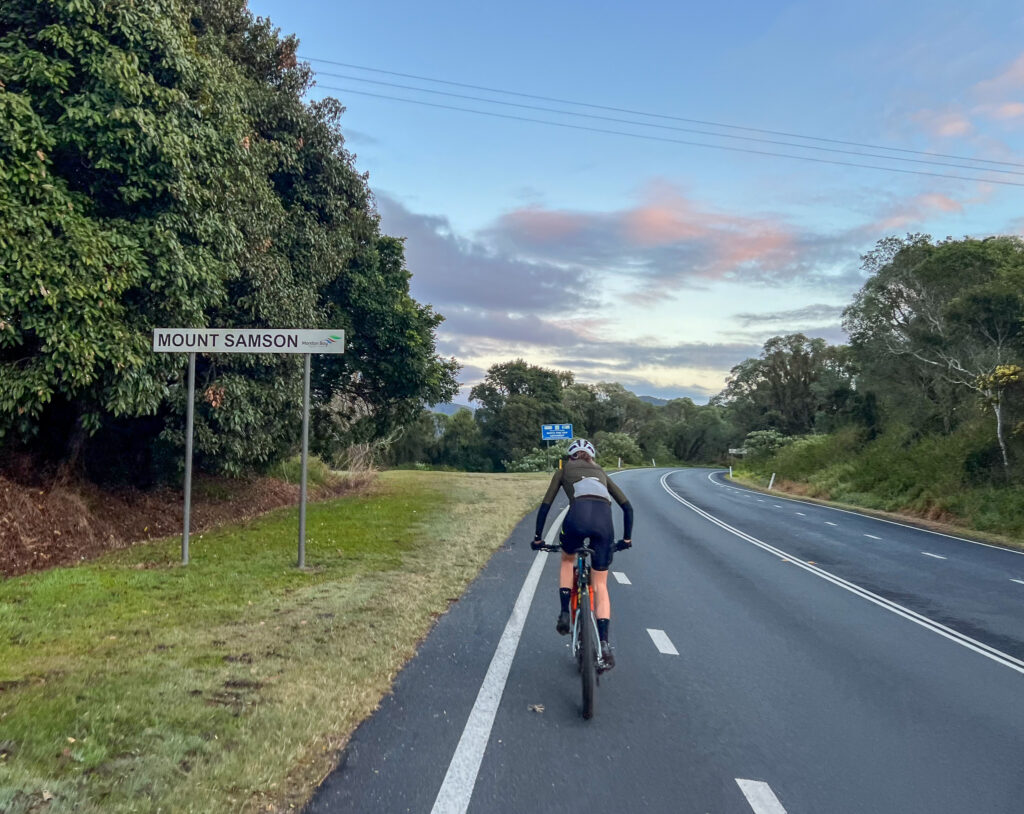
Join the road to Dayboro, which has fair shoulder and a good road surface until Winn Road. While the speed limit has recently been revised, it is still a fast road. The view to your left has the twin peaks of Mt Samson, and the range behind holds a couple more rides for adventurous mountain bikers and gravel riders. This route will track the ridgeline behind the ridge you can see.
Between Winn Road and Kriesch Road the road ends at the white line. This is the most exposed section for riders – a frequent riding route but best ridden with a high level of awareness of other road users.
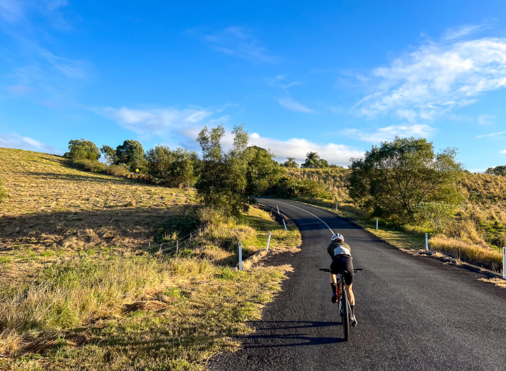
Turning left onto Kriesch Road you climb up and get a great view over Lake Samsonvale and to the coast, before descending back to the main road. You can bypass this sidetrip but it does take you away from traffic. On the main road again you are back to having a good shoulder, and shortly turn left onto Kobble Creek road. Climb up the valley and turn left onto Watson Road toward Armstrong Creek Road, and follow through farmland, to Lees Crossing Road, over weirs and into Dayboro via Laidlaw St.
Through Armstrong CreekUp Kreisch Road.
Henry Bradley Park has a toilet, water – and even a mini pump track if you’re so inclined. Otherwise Dayboro has the Dayboro Bakery, a super market, more toilets and water and several cafes. This is your last chance to resupply for food and water until Mt Glorious Village. So fill up accordingly.
Leave Dayboro past the pub and up McKenzie street, before turning left down Laceys Creek Road at the top of the hill. Ignore the ‘No Through Road’ sign – that won’t apply where you’re going!
The road climbs up the valley alongside Laceys Creek and through larger land holdings. To your right you can see the D’Aguilar National Park along the ridgelines, and you may spot Kluvers Tower in the distance – a telecommunications tower off Range Road, surrounded by rainforest. You can amend this route by taking the right hand up Wirth Road once past Costello Road, and going past Kluvers. It is not a short cut and is not easy – but quite spectacular.
The old churchBORK!
As the road narrows stay aware of oncoming traffic, as the road is barely one lane wide. Once across the new causeway, turn right to stay on Laceys Creek Road. Soon enough you are climbing, and will turn right into the climb at a small dirt carpark. This is a popular point for motorbikes to unload and also a carpark for the singletrack descent that finishes nearby – known as both the Dayboro DH and Laceys Creek enduro trail. Turn right and climb upthrough the National Park gates – this is a sustained climb on Range Road. Beware of 4WD and motorbike traffic – or mountain bike shuttles.
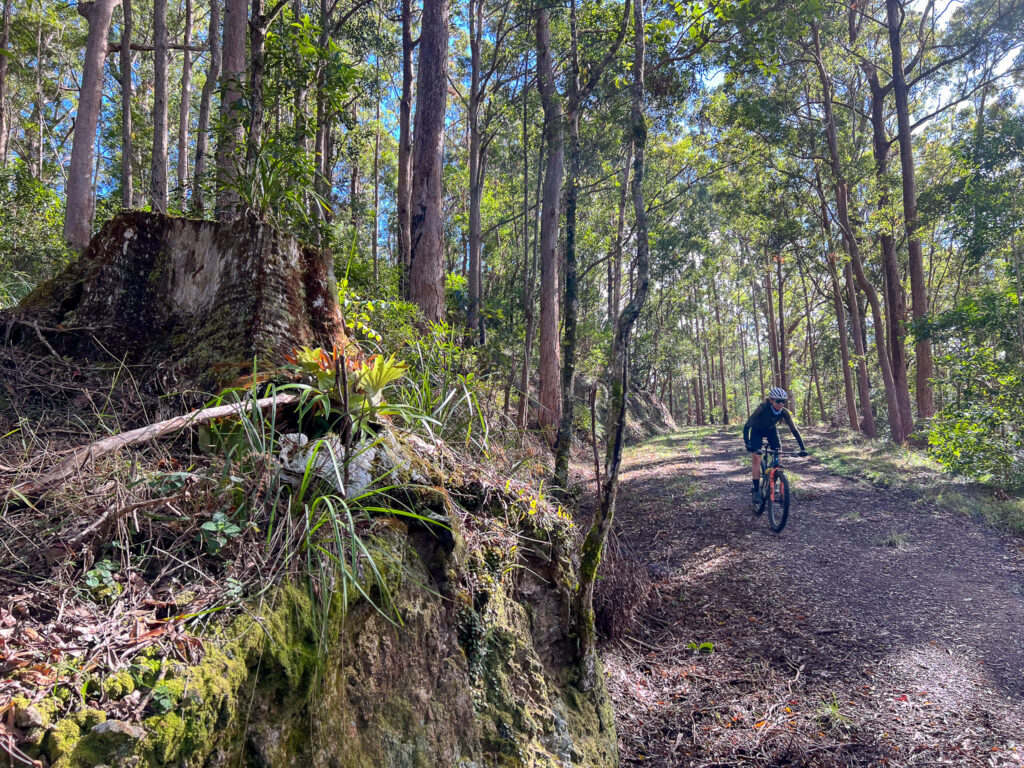
Once you pass the singletrack entrance at the top, you have some reprieve and typically cooler air through a remnant rainforest pocket. The view into the valley to your left shows how much you have climbed, and the hill in front of you is known as Bulls Knob – you’ll be flanking that shortly.
At the gate, climb over. the dirt road continues to the right and is another route option to Kluvers, Mt Mee, Mt Pleasant and even Kilcoy and Jimna – adventures for another day.
At the gateJust follow the signs!Enduro laps if you’re into it
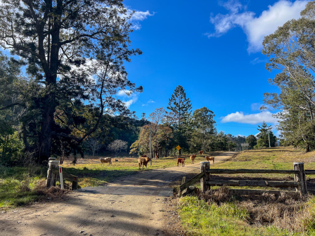
This is the point to tell you – you are not at the top. The firetrail is overall in excellent condition, it just has soft grass which makes the next section pretty tiring. You are mostly climbing until close to the corner of Mt Sim Jue Road. You really are tracing a ridge line, so expect plenty of ups and downs now. There are no washouts, water bars or gates. There is occasionally some rockfall and blowdown and the odd rogue cow or startled deer – so pay attention.
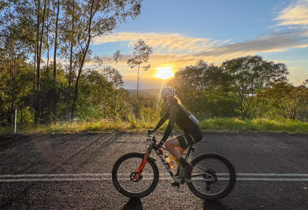
You will have a view to Lake Wivenhoe, and after more ups and downs and ups agains – you climb towards the gate on the Northbrook Parkway. This is just below Wivenhoe Outlook on the dark side of Mt Glorious. Pop your lights back on, jump the fence and get pedalling.
The road climb tops out near Tennison Woods at close to 780m, and you then return to Mt Glorious Village. There are toilets at the Maila picnic area (and tank water, which the signs don’t recommend drinking). The cafe in the village has drinks and food.
Are you a Bicycle Queensland member? Membership includes accident and public liability insurance coverage for all kinds of riding, including free legal advice after an accident. BQ Members save at a variety of retailers, and BQ Membership supports our advocacy work and this Where to Ride resource.
Leaving the village descend down the road, and turn left into the road descent. The Mt Glorious descent is one of those descents where most people have had one incident or another, minor or otherwise. It is steep, sustained, and can have rapid changes of camber. Some riders have lost their lives here. Ride well within your limits, the limits of your tyres and your brakes and remain aware of cars behind you, and those climbing the hill and perhaps cutting corners.
Once in the lower section, on a hot day it can be worth a quick swim. If you see room for cars to pull over, that’s the sign that a nice swimming hole is in the gorge.
Otherwise, finish the road descent and congratulate yourself on completeing a difficult yet satisfying route to explore part of the D’Aguilar Range. Plus it makes a cool loop on any ride sharing app! While this route has so much road, the off road section is both demanding and rewarding, and that can make it a favourite for some riders. There are many variants to this core loop – and doing it clockwise v counterclockwise can be adapted to suit the seasons (and heat of the day) and how busy different roads will be.
Reminders for riders
This is a remote ride beyond Laceys Creek. While the trail is typically in exceptional condition, it doesn’t get much traffic. Take the water and food you need, along with the spares and knowledge of how to use them. On top of that, take a small first aid kit.
On this ride, ‘the hard bit’ is also the dry bit. Expect the off road section to take longer than you think and carry plenty of water. While this may be a two bottle ride (with Dayboro refill) in winter, two bottles in summer is really pushing it.
Some of the roads used in this route have poor lines of sight. While bike riders can legally ride two abreast, a few sections here may be best ridden single file – a radar light is also handy to alert you to closing traffic.
This ride has been submitted and it looks like a cracking gravel ride near Gympie. It is mainly gravel roads, with a fairly steady first half. The back half is loaded with climbing. If you’re savvy with a map or GPS, there are options to short cut the route if it all becomes a bit much! Alleycats CC suggest that this is a ride for advanced riders.
As is the case for longer rides like this, pack enough water and supplies to be self-sufficient. Fraser Grill is on the route but at the time of writing is not open.