Linville to Nanango Gravel Loop

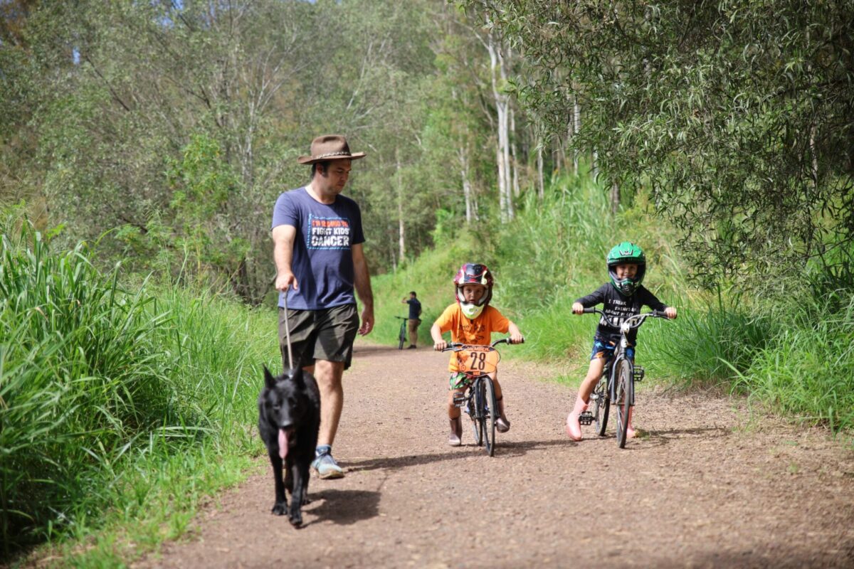
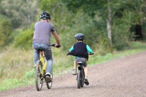
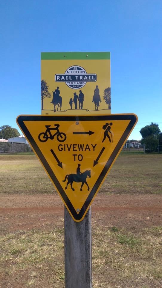
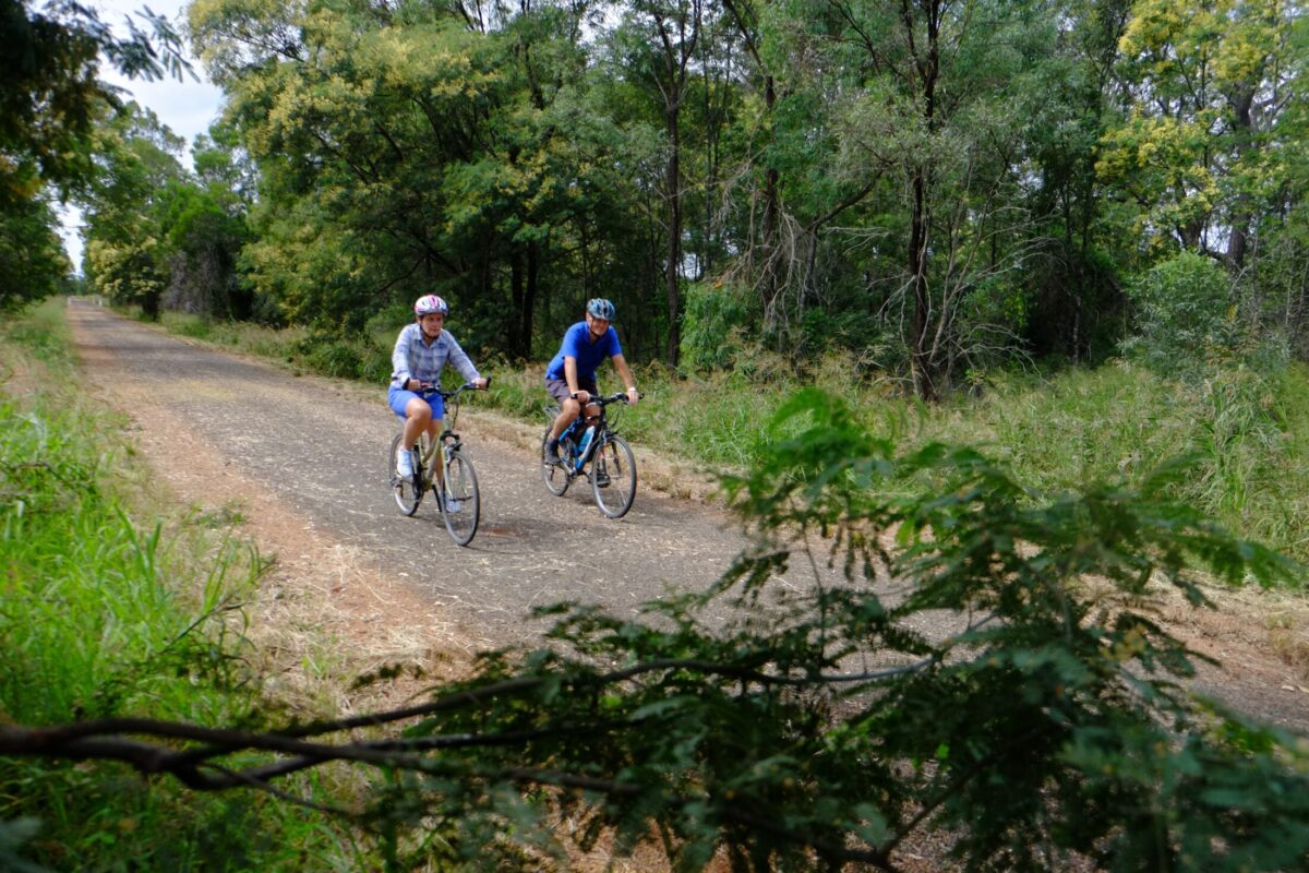
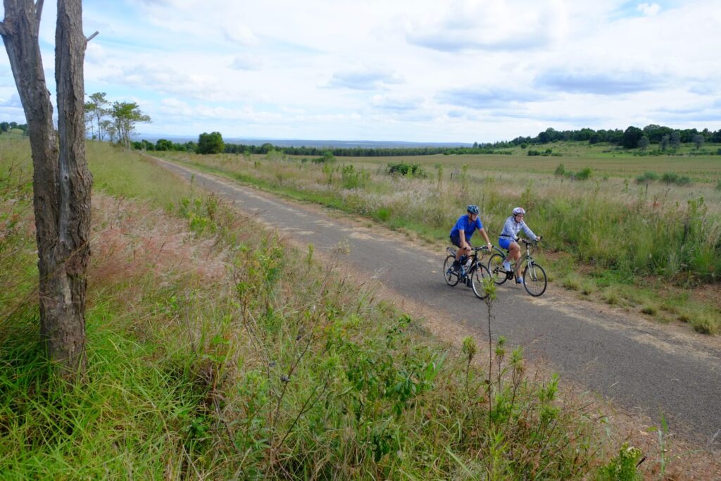
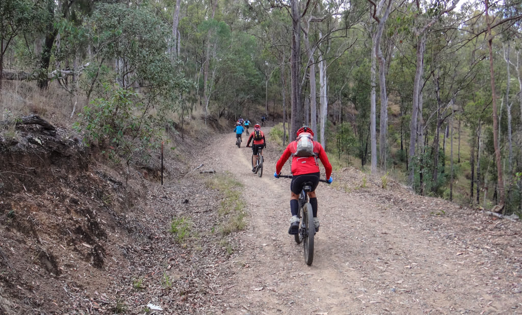
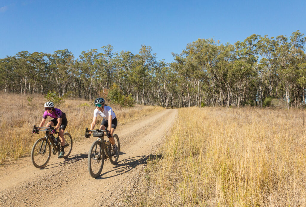
The Brisbane Valley Rail Trail has become well-known as a safe, off-road route with very few technical challenges for most riders. While thousands of riders tackle some or part of the rail trail every year, not everyone knows how many great bike rides exist that use part of the BVRT along with back roads, old stock routes and other trails. The northern end of the rail is brimming with opportunities for different rides and opens the door to longer, adventurous routes as well.

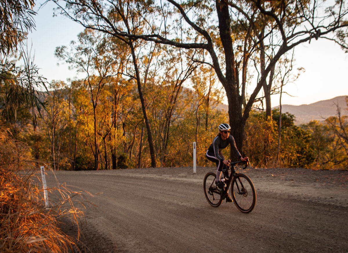
The Linville – Nanango loop is one such ride. It’s not technically demanding, but at 126.7km with 1790m of climbing – it is a ride suited to experienced gravel riders. Or better yet – those who want to do a rewarding 2 day route, and either camp or book a hotel in Nanango.

The ride

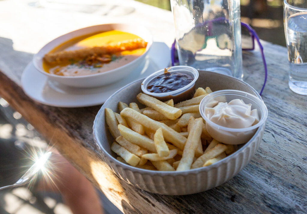
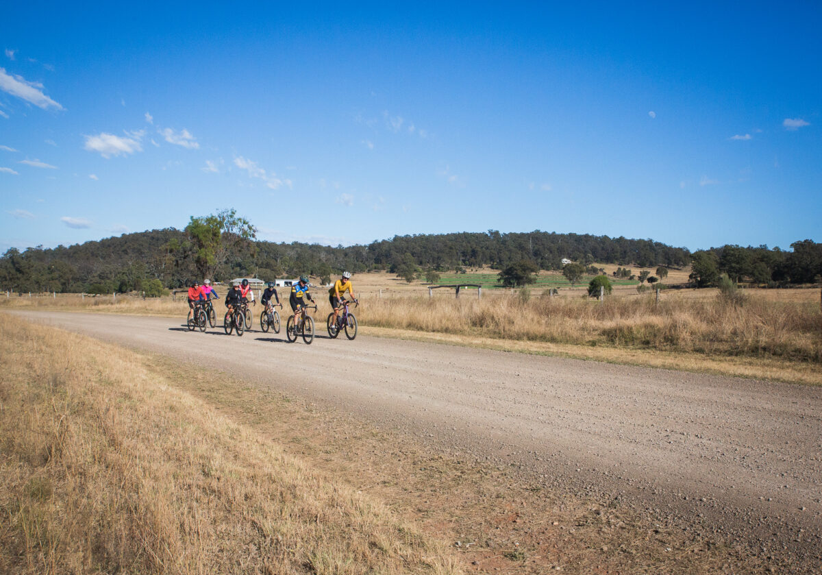
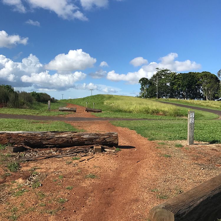
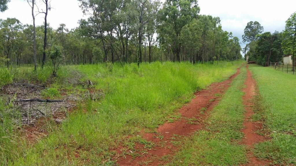
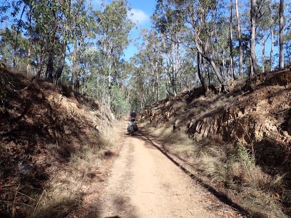
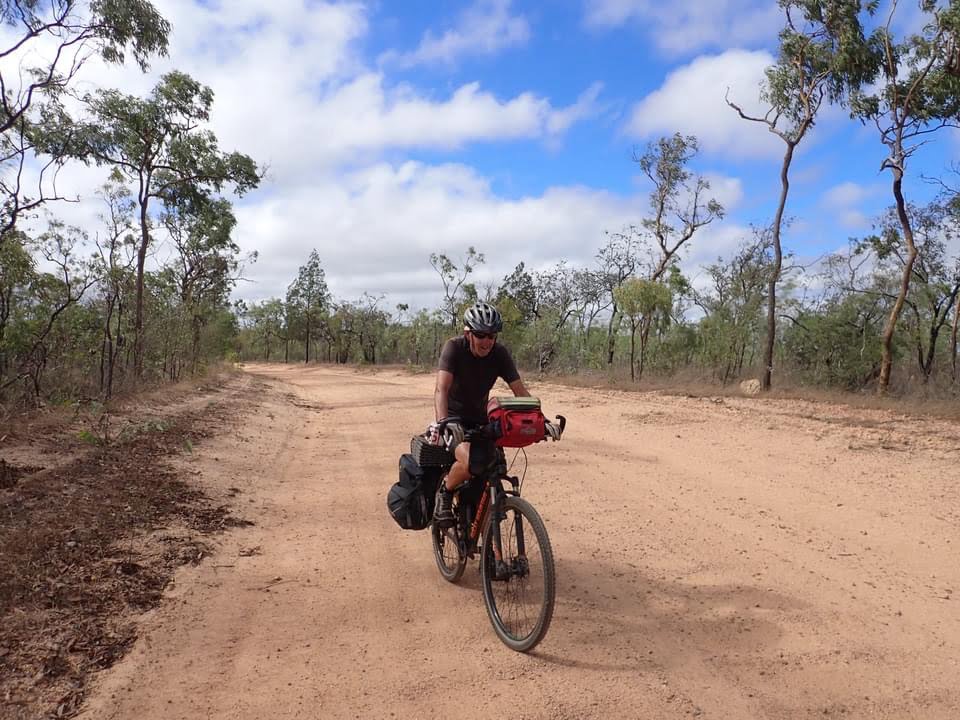
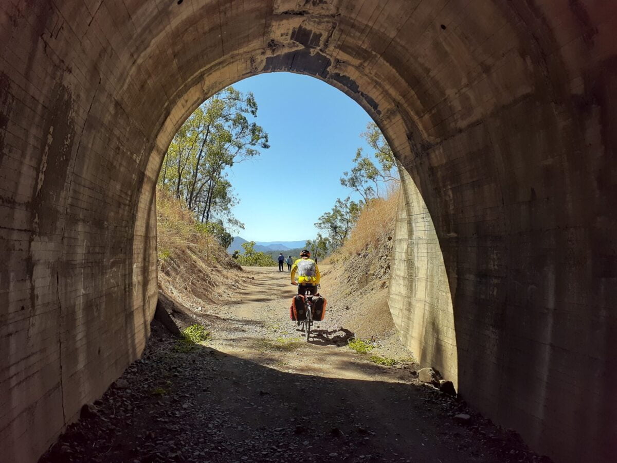
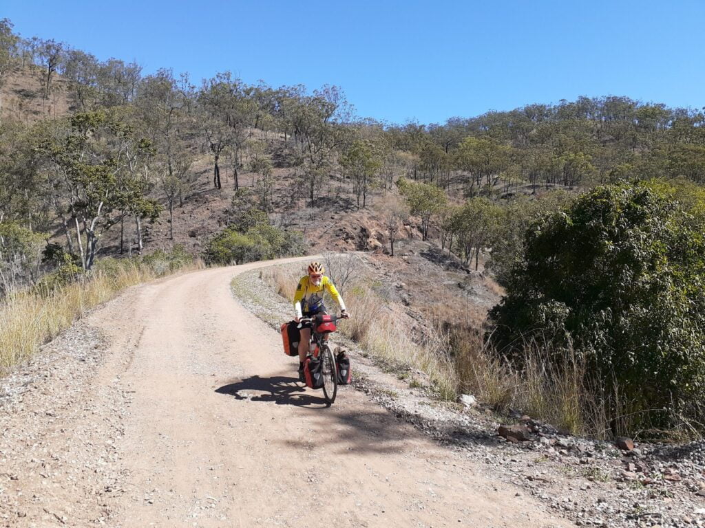
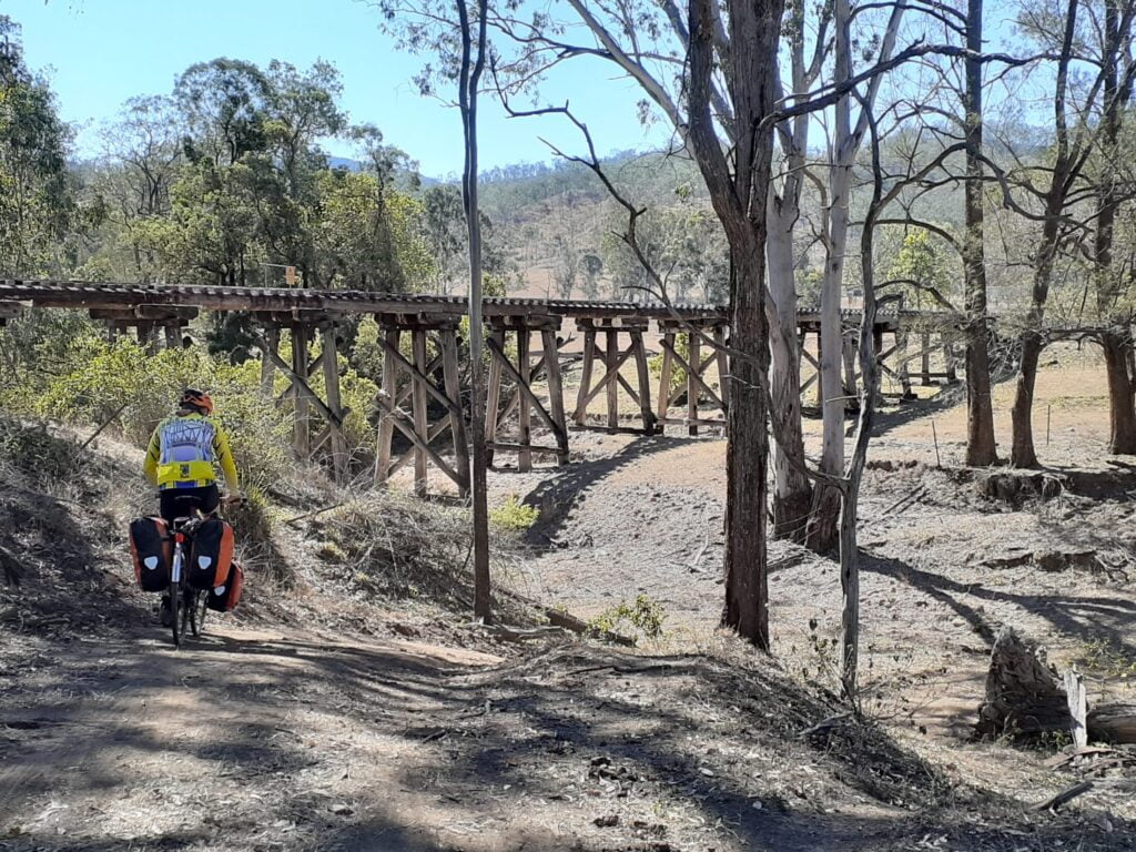
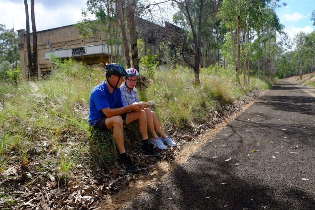
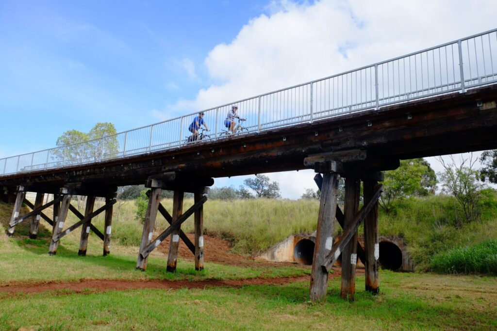
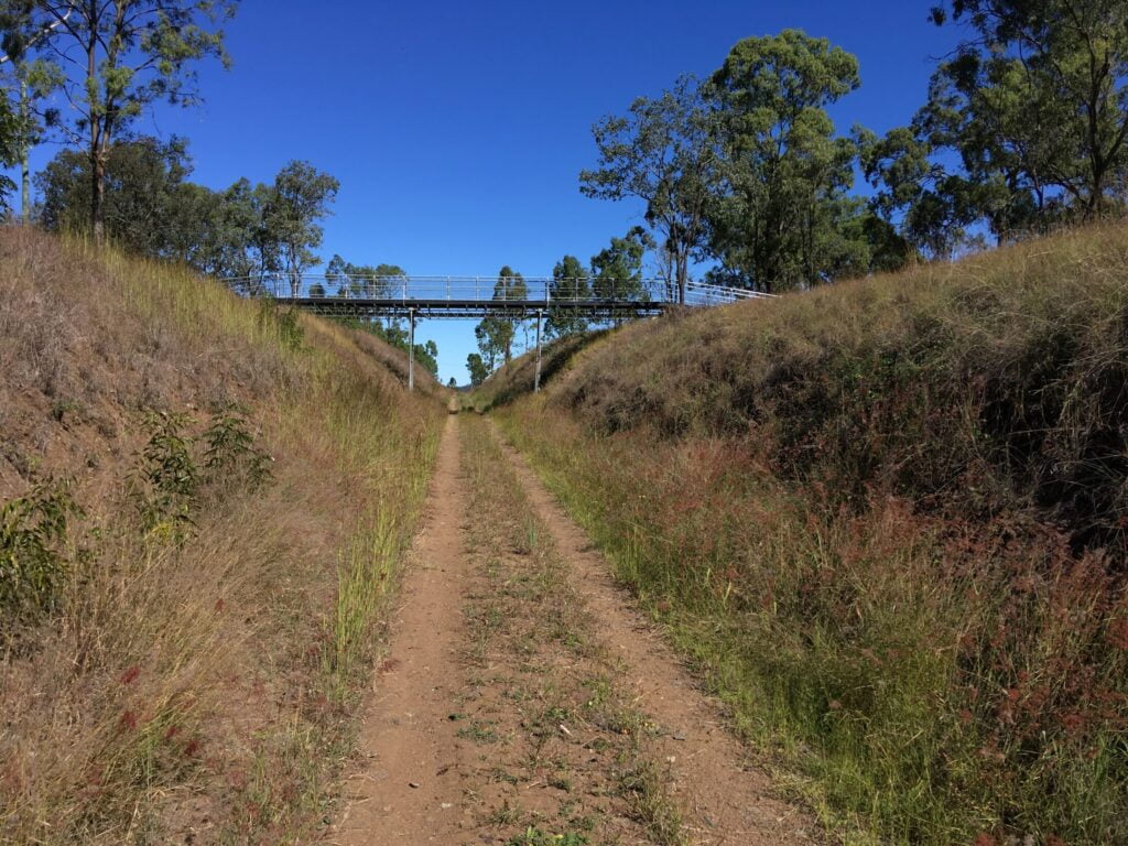
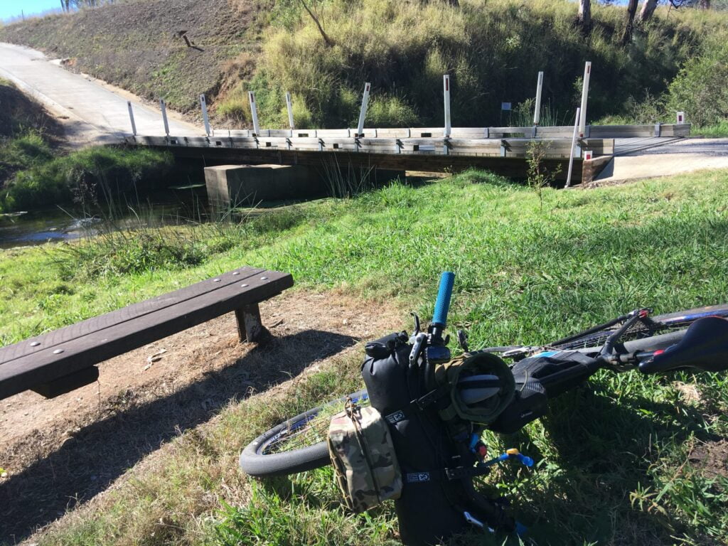
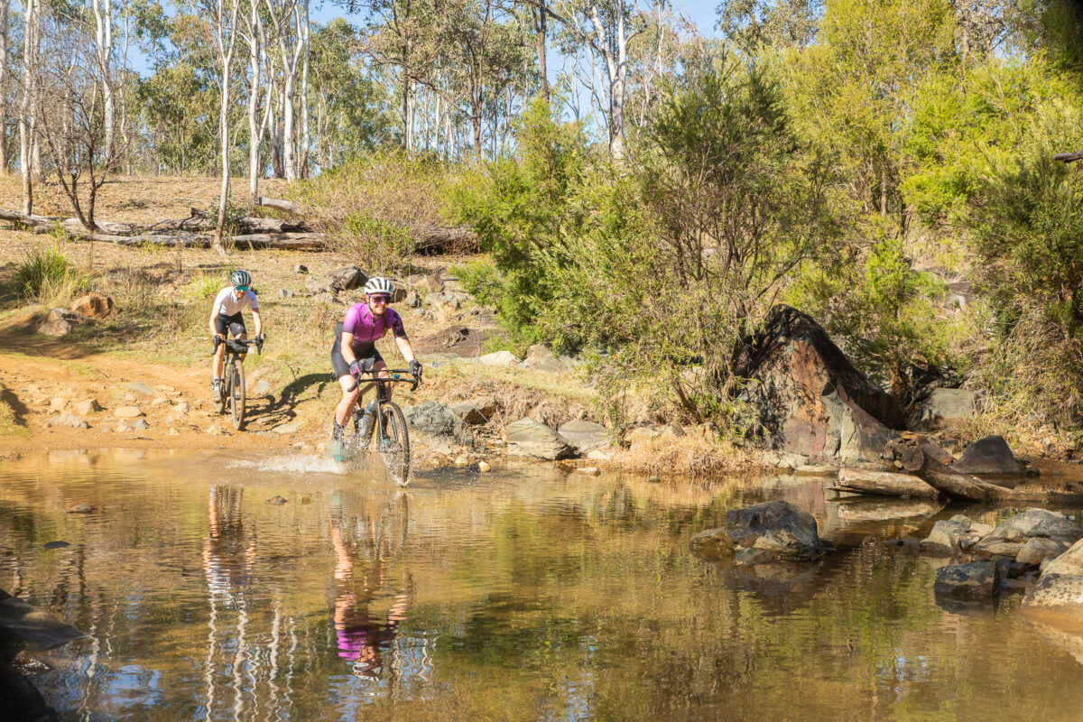
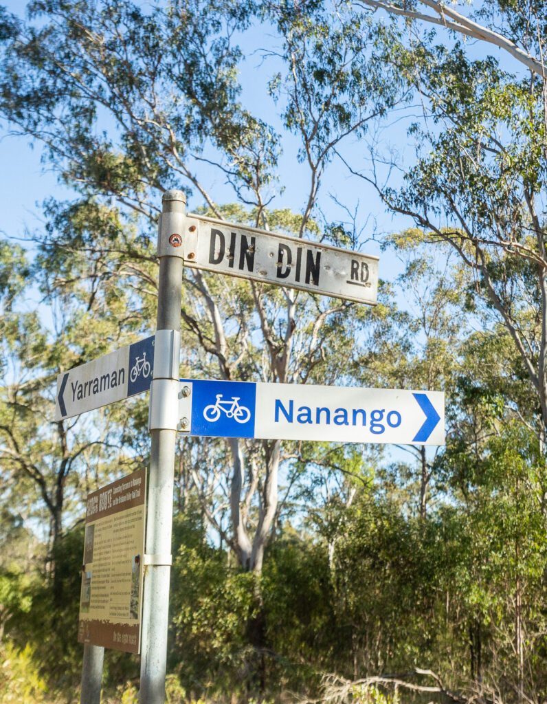
Starting from Linville, follow the BVRT towards Benarkin and then Blackbutt. The climbs has a few gullies but is mostly very consistent at a gentle gradient. Blackbutt is the last spot to top up on water or food before Nanango – so fill up! About 2km before the trail ends at Yarraman, take the right hand turn towards the Link Trail. This 2WD dirt road leads to a left hand turn on Din Din Road, with a bike sign for Nanango. This section is champagne gravel – but it is an open road so pay attention. The route does get more rugged as it becomes old Yarraman Road, descending to and crossing Yarraman Creek. Don’t attempt this route after heavy rain!

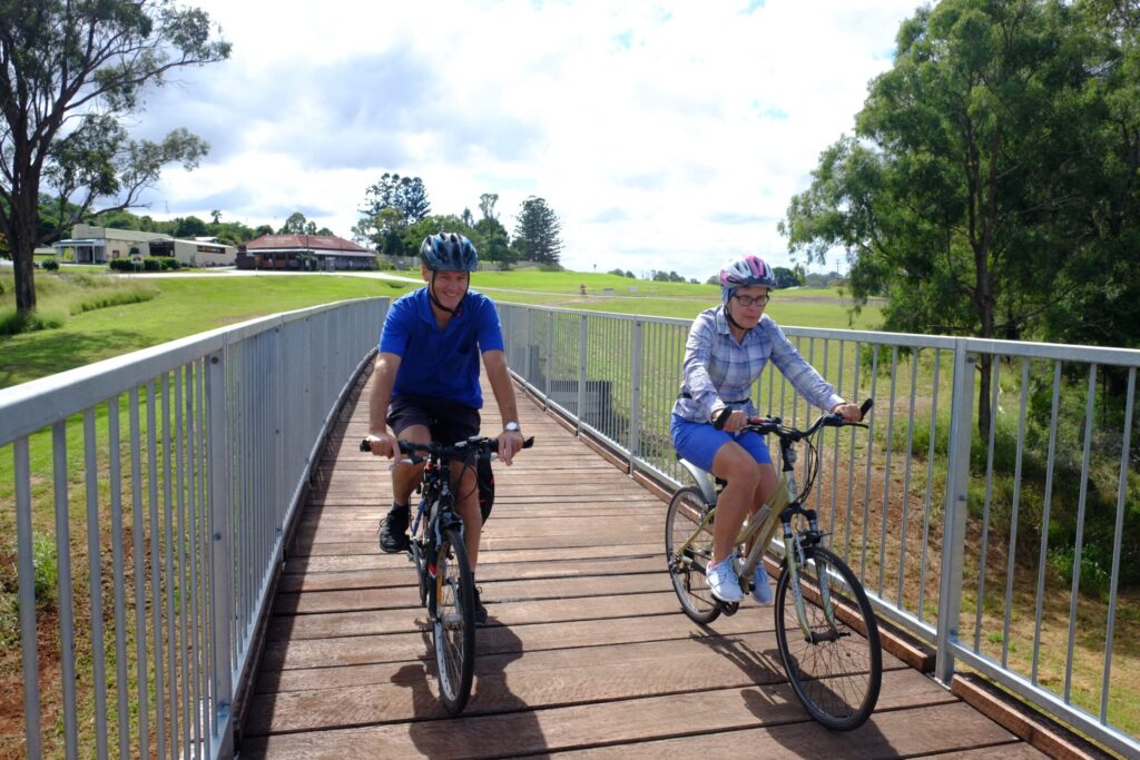
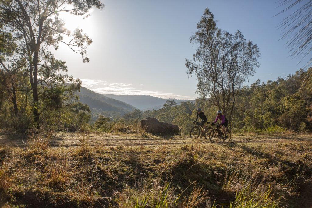
This road takes a steady climb out of the water crossing, through classic Queensland country. Follow this road towards Nanango, turning right onto Burnett St and left onto Drayton St to end up right in Nanango for food and drink – and lodgings if you’re staying the night.

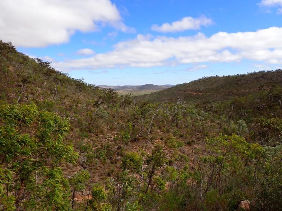
The ride out of Nanango is straight forward, heading east on Drayton St and then left onto Mount Stanley Rd. This will be marked as the NAN1, one of three marked routes in the area thanks to David Kenny. Slowly but surely you gain elevation as you turn onto Bullcamp Rd, although in time the climbs become pinch climbs, on a narrow bitumen road that takes you to 530m – the ride’s high point.

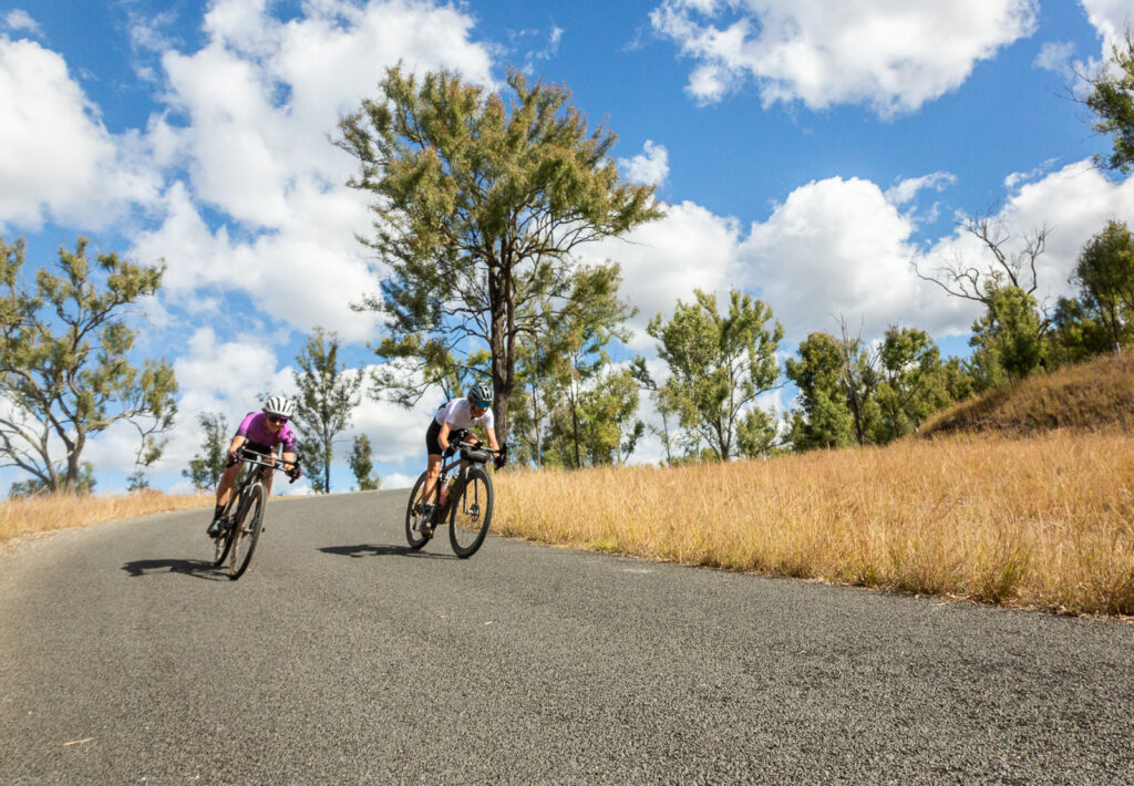
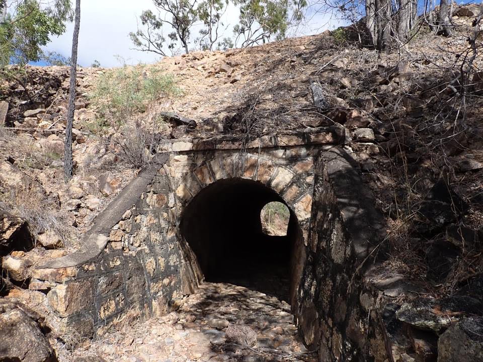
A fast descent down River Rd links together narrow corners and high speeds, ending on a dirt road in the valley near the start of the Brisbane River. With just under 40km to go, you have nearly that many river crossings. With causeways to cross the river, recent rainfall will dictate how wet your feet get!

The dirt road becomes bitumen and while the kilometres tick by pretty well, you may note that as a one day ride the last stretch drags on. Despite running downhill to Linville, there are a couple of climbs that are cruel on tired legs to get into Linville, with a quick run towards the hotel to round of the ride.

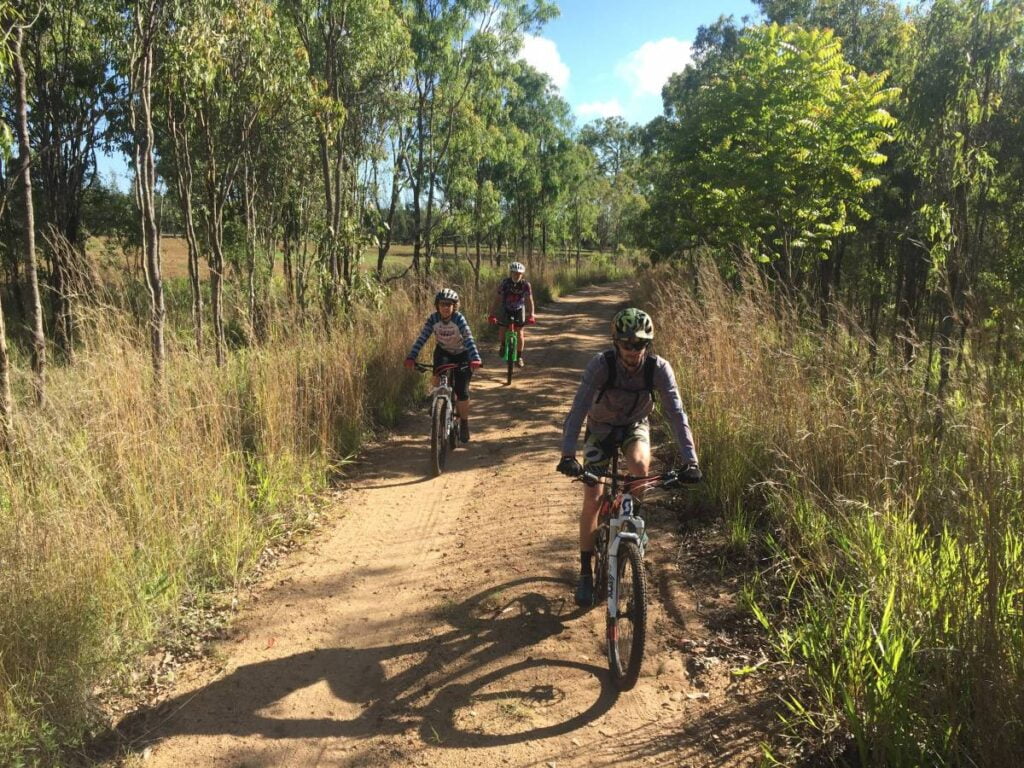
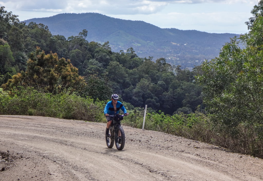
This is a classic loop to ride in this area – perfect for a gravel bike, fine on a mountain bike (if not slow to finish) and totally unsuitable for a road bike. You are fairly isolated at times do it’s best done with friends, and with a few essentials like a first aid kit and essential spares.

Grab the Ride with GPS file here.

Mary Valley Rail Trail

Inland from the popular beaches of Queensland’s Sunshine Coast lies the Mary River Valley, home to the Mary Valley Rail Trail. This shared use recreational trail runhs between Brooloo and Imbil, tracing a popular route for visitors and locals alike. The 4.7km length is stage one of the Mary Valley Rail Trail, with two further stages proposed to travel to Kandanga and then Amamoor.

The Brooloo to Imbil section is open for use by bike riders, walkers, wheelchair users and horse-riders. The trail surface is compacted gravel and is accessible to people of most abilities, making it perfect for a family ride or a place to take someone who is yet to truly understand the joy of cycling.

You can start at either end, with carparking available at both trailheads. Drinking water, toilets, and other facilities are located 200m from the Imbil trailhead in Imbil village, where you will also find a general store, bakey, pub and more. There is no water or public toilets at Brooloo.

Photo: Jan Watt

The rail trail follows the old railway corridor, and remains pretty flat as it winds and carves through the surrounding hilly landscape. The environment is diverse, from open grassy woodland to Hoop Pine plantations to rainforest to farmland.  One of the highlights of the trail is the bellbird colony that resides permanently in the middle section of the trail. There have even been over 4000 trees planted by the local user group – the net result is more habitat and lots of shade along the route.

Crows Nest scenic gravel loop

Southern Queensland Cycle Trails Inc. is the umbrella organisation working to introduce more riders to the riding potential atop the Great Dividing Range. Bringing together projects like High Country Gravel South Queensland and the Downs Burnett Cycle Trail, the group exists to promote the full spectrum of riding opportunities across the wider region. They aim to make it easier for riders to graduate from the rail trail and into genuine gravel adventure.

To that end, that have a new website with a wide range of mapped routes, and maps are being delivered to a range of bike shops in South East Queensland, so riders can get a greater understanding of the extent of gravel riding in the south east of the state. It lists a series of signed routes on the abundant gravel roads around Crows Nest and bey0nd.

On ‘Where to Ride’ we have reserved ‘mountain biking’ to mean singletrack, so we are classifying this one as a gravel ride. Our test rider rode his hardtail rigid mountain bike, so there is certainly a blurring of categories here. Experienced gravel riders will have no technical concerns on these great back roads.

Our route starts and finishes in Crows Nest, which is a bustling little town of about 2000, and multiple cafe and bakery choices.

We left town on a bright and clear November morning, heading out on Three Mile Road towards Crows Nest National Park, which has a campground, cascades swimming hole, a lookout and a waterfall to recommend it. On this occasion we skipped the delights of the National Park, but our test rider fondly remembers a bikepacking trip in 2014 that included a chilly night spent at the campground.

Soon after the National Park turnoff, Three Mile Road becomes gravel, but its a good surface and a wide enough road for two cars to easily pass each other. The next 6km is a steady climb to Three Mile Road and then Dahl Road, and then a return toward Crows Nest on Back Creek Road. There are some steep pinches on Dahl Road, which becomes a very minor road indeed in these sections. We suspect that more bikes use this road than cars, it is very quiet.

Just before arriving back in town we once again turn away, and gain some height again on the bitumen on Pierces Creek Road. A left onto Byers Road yields one of those classic viewpoints in farming country with the road encased in an avenue of trees as we look out over field cleared for grazing. Then the hardest hill of the whole loop as we struggle our way to the top of Gunters Hill. The surface is red dirt, and is definitely dry weather only.

Byers Road becomes Pit Rd, and we roll down past the Crows Nest Pistol Club, still enjoying the views on the way down.

We rejoin the bitumen for a few hundred metres on the New England Highway and then a quick left for the climb up Plainby Road.

At the top of Plainby Road we take a left on Bald Hills Road, and begin to admire the scenery visible on both sides of the road. This was our last and toughest challenge for the day, and most of the rest of the ride is downhill back to Crows Nest.

We arrived back in town ready to try out the pastries at My Little Blueberry. If you are in Crows Nest on the wrong day for My Little Blueberry, the Nest Cafe will look after you just fine too.

Check out the map on Ride With GPS.

Mareeba to Atherton

Closer to heaven than where you come from

The Atherton Tablelands is pretty close to heaven for all types of bike riding.

There are great mountain bike trails (see elsewhere in this very guide), and there’s also plenty of good road cycling as well.

For most rides on the Tablelands it pays to be well prepared with climbing gears on your bike … there are plenty of hills. No local bike rider is going to agree with the idea that the Tablelands is flat.

But if you are looking for a flatter (not flat) ride, then a rail trail is always a good place to look.

The Atherton Tablelands Rail Trail at present runs officially from Walkamin to Atherton. We have listed the route from Mareeba, which doubles the length of the trail. This is section is informal only … you won’t get lost because a rail formation is pretty easy to follow, but there’s no signage or rail trail facilities.

Mareeba is 400 metres above sea level and Atherton is almost 800 metres. So plan your rides with this knowledge in mind. If you are doing this ride point-to-point we definitely recommend starting in Atherton.

But if this will be an out-and-back loop, make Atherton your halfway stop, and finish with the gentle downhill section back to your starting point.

Mount Garnet to Lappa Junction

Adventure awaits in the tropical savannah lands

Disused railway lines come in all shapes and sizes across Queensland. This point-to-point ride uses a line which was built by the Chillagoe Mining and Railway company in 1902, but was later taken over by Queensland Rail, and eventually closed in 1960. In the 60 years since it has been a public road, but obviously it is a road with the gentle gradients and remnant history that goes with its railway past.

Recent ride reports (from July 2021) note that the 8km trail section near Mt Garnet is rough and overgrown in places, before you reach Nymbool Road.

Although we have listed this ride starting in Mt Garnet, which is on the Kennedy Highway and easy to get to via road from Cairns, the railway formation was built as a spur off the Tablelands line at Lappa Lappa (now known as Lappa Junction).

According to the Rail Trails Australia page on this trail, you can expect outstanding savannah landscapes, panoramic views, impressive cuttings, stone bridges and culverts.

The 120 year-old “pub” at Lappa Junction is also a highlight, styling itself as Australia’s first BYO hotel (it doesn’t have a liquor licence). It does have a museum, however.

There are no services whatsoever between Mt Garnet and Lappa Junction, so being self-sufficient for food and water is important. And while this ride is “only” 52km, it would be a big day out to ride it both directions, so planning a shuttle with multiple cars, or having a support vehicle might be a good plan.

Trans North operates a bus from Cairns to Karumba that stops at Mt Garnet, see the Trans North website to book.

The Savannahlander private railway comes past Lappa Junction most days in a gleaming 1960s rail motor from either Cairns, Forsayth or Karumba, but it’s a tourist experience, not a standard railway service, so you can’t just jump on it back to Cairns.

The Great Northern Cycle Trail is a Facebook group which has put together a route which includes this ride as the western section of a 450km adventure cycling loop around the Atherton Tablelands. Lots of other great riding being highlighted around the Tablelands and Savannah country in that group!

Our photos for this article came from Sandra Butler who is part of the above-mentioned Great Northern Cycle Trail group. Of the Mt Garnet – Lappa Junction route she says: “It is a really beautiful ride!”

Barrimoon Tunnels to Builyan

First instalment for a magnificent new rail trail

The Boyne Burnett Inland Rail Trail is a fascinating mix of Queensland history and current day interpretations of that history.

Barrimoon Tunnels to Builyan is the first section of the BBIRT to be open. It covers about 27-28 km. The best way to ride is down the Dawes Range, starting from Kalpowar. A short section of gravel road links Kalpowar to Barrimoon Siding, and off you go. There are toilets at Kalpowar (at the community hall), but once you set out on the rail trail there are no services until you get to the other end.

The Gayndah-Monto-Gladstone branch railway scribes a massive 270km arc away from the main coastal railway line through the North Burnett region. It left the main line at Mungar Junction, about 10km south of Maryborough, and rejoined at Byellee, just outside of Gladstone.

The section from Monto down into the Boyne Valley was the last section built, in the 1920 and 30s. Close to the top of the range are the six tunnels that make this such a spectacular ride.

From Barrimoon siding down to Golembil is the spectacular initial section of the new trail. And it is worth every last bit of the time, effort or money it takes to get you there.

Your writer of this guide has ridden plenty of rail trails in Australia. And this is (potentially) the best one. A little more work on the surface and it will be the best one.

There are six tunnels in the 5km from the top of the Dawes Range at Barrimoon. And the trails rolls through each of the tunnels, and in between there are views of the range all around. Just down the valley from here is a town called Many Peaks. And you can see why, as you cruise on the 11 km downhill to Golembil bridge.

From Golembil, the trail continues along the valley towards Many Peaks, and eventually Builyan, where there are toilets (at the community hall) and a shop (Kirsten’s Cottage, not always open, check before you ride).

The trail along here has plenty of rough and sandy sections. Wide tyres are a must, and this correspondent cannot help but think it would have been easier without our touring load.

The first stage of the Boyne Burnett Inland Rail Trail has opened up the possibility of linking up to other rail trails, for a truly epic adventure. See the Great Queensland Rail Trail Adventure website or Facebook page for more inspiration.

Kilkivan to Kingaroy Rail Trail

This hidden gem awaits …

The Kilkivan to Kingaroy Rail Trail is a must-do — 90km of blissfully traffic free riding through some of the nicest countryside in Queensland.

The KKRT is best considered as two rail trails, because the sections managed by Gympie Regional Council and South Burnett Regional Council have some major differences.

Kilkivan to Murgon is 45km (which apart from from about 6km is all in Gympie LGA), and it is the mildly adventurous section, with creek crossings and gravel surfaces, weaving through the cuttings around Manyung. It also has many gates, which is fine if you are riding in a group — take turns at who can be the most courteous gate-opener! But if you are riding solo, then you will get a lot of practice in dismounts and remounts — good news for the cyclocross enthusiasts among us.

Murgon to Kingaroy is also 45km long through the South Burnett LGA. This part is the family-friendly roll through the countryside, with trees planted beside the trail, and places to jump off and have a dip in Barambah Creek, or a picnic beside the trail next to the disused Wondai Butter Factory.

Like all rail trails, the gradients are gentle throughout. However, there are substantial height differences if you ride the whole way on the KKRT.

Kingaroy is at 425 metres above sea level, and Kilkivan is 150 metres above sea level.

So if you are going one way, and you get to choose which direction to ride … Kingaroy is the place to launch from. If you are doing the trail as an “out and back” over a couple of days, then start in Kilkivan and get the downhill run to finish off.

There are so many great little towns along the route, especially in the southern half. We totally recommend getting off the trail for a little explore around Goomeri, Murgon, Wondai, Tingoora (historic pub!), Wooroolin (amazing wetlands) and Memerambi.

There are free campsites on the trail at Wondai and Wooroolin.

Crossing Wide Bay Creek about 13km after the start of the trail from Kilkivan in 2019 … Gympie Regional Council have announced that a bridge will be built over this crossing.

Goat Track Loop

The Goat Track is an iconic Brisbane ride available to any serious bike rider. We know plenty of people who ride it on road bikes, and of course it’s fine on a cyclocross or gravel bike or touring bike (good training if you are loaded up!). And perhaps there are more ascents of the Goat Track by mountain bike riders than any other sub-category, because it links so well with the myriad of epic off-road rides in D’Aguilar National Park.

This loop starts and finishes in Samford Village, which is a busy place on weekends. There is a great choice of cafes for your post-ride refueling!

Roll out of the village on Mount Glorious Road. It’s always glorious in the Samford Valley, and you can warm up with the gentle slopes before you reach the turnoff to the Goat Track.

Photos by Neil Ennis

The track is a gravel road and the climb is a steady 8% grade for 3km. The gradient never really changes, so although it’s hard work and most people will end up in their lowest gear, if you can cope with the start of the climb all you need to get to the top is persistence.

Turn left at the top of the Goat Track and there’s a little bit more climbing into Nebo Village. The Cafe in The Mountains is an option for refreshments before we launch into enjoying the fruits of our labour: the down hill run along South Boundary Road.

But a word of warning! Modern mountain bikes and gravel bikes have great brakes, but exercise some caution when descending South Boundary Rd, which is a double-track fire road. There are a couple of corners which have major drop-offs on one side. Overcook it into one of those turns and the mistake could be very costly indeed.

But if you brake early on the corners and let your bike run on the straight sections, you will have plenty of fun until the draggy climb up to the Centre Road intersection. Don’t miss this left turn otherwise you will end up in The Gap.

Centre Road descent can be pretty rough as well, so once again take it easy down to Enoggera Creek. Then chug your way up the 1.5 km climb back up to Mt Nebo Rd. This is a tough one, so be nice to yourself and take breaks.

Another quick descent and a left turn into Bellbird Grove, where you can dodge the frisbees and wave at the picnickers. Then one last nasty climb up the Link Road to the junction with Camp Mountain Trail. A traverse on Link Rd across to McLean Rd is our last section of gravel for the day and its quite fun, with three dips and short power climbs out the other side.

It’s a quick trip down McLean Rd South to join up with the Samford-Ferny Grove rail trail and a gentle way back towards Samford Village. We recommend a short stop on a sweeping left hand corner on McLean Rd South, at the cairn that remembers the Camp Mountain rail disaster. Sixteen people lost their lives on Labor Day in May 1947, the worst accident in Queensland’s railway history. The Dayboro railway line closed eight years later, in 1955.

Check out the map and GPS files on Ride With GPS.