Ipswich Scenic 50km

If you’re looking for a ride that blends gentle countryside kilometres with big Queensland scenery, Bicycle Queensland’s 50 km Ipswich loop is a classic. Rolling farmland, wide skies and a handful of quiet regional roads make this an ideal introduction to longer rides, or a relaxed weekend spin for seasoned cyclists.

Starting in Ipswich, the route heads west toward the Scenic Rim, offering wide shoulders, bike lanes, and a couple of chances to stop for a breather or a coffee.
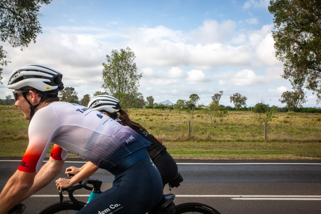
Leaving Ipswich

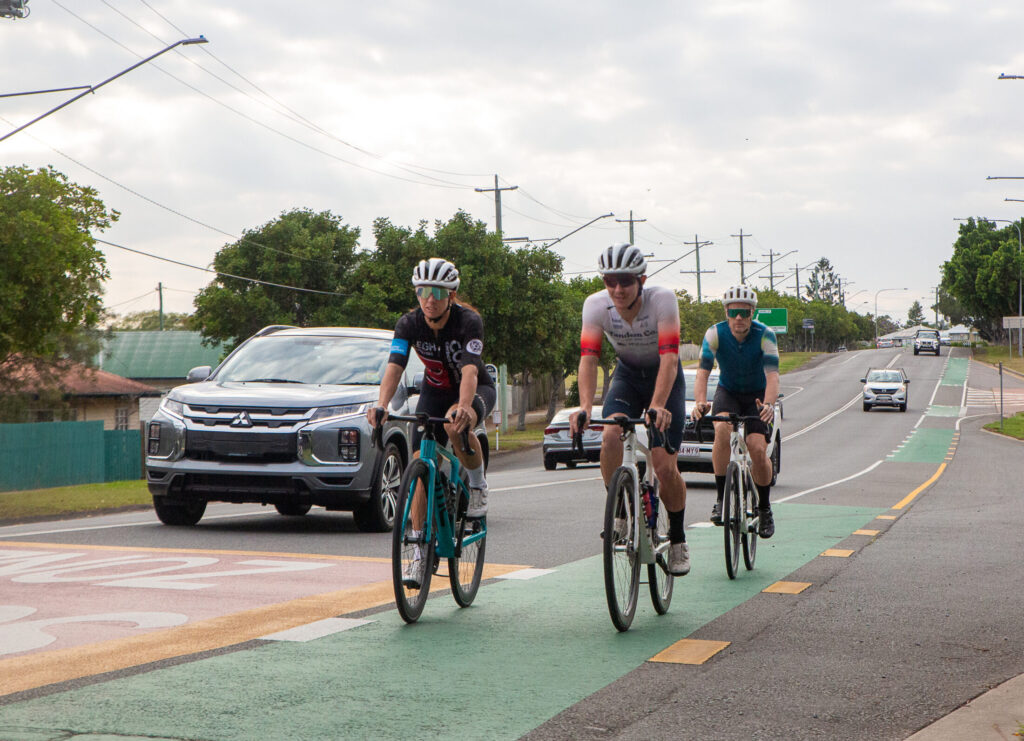
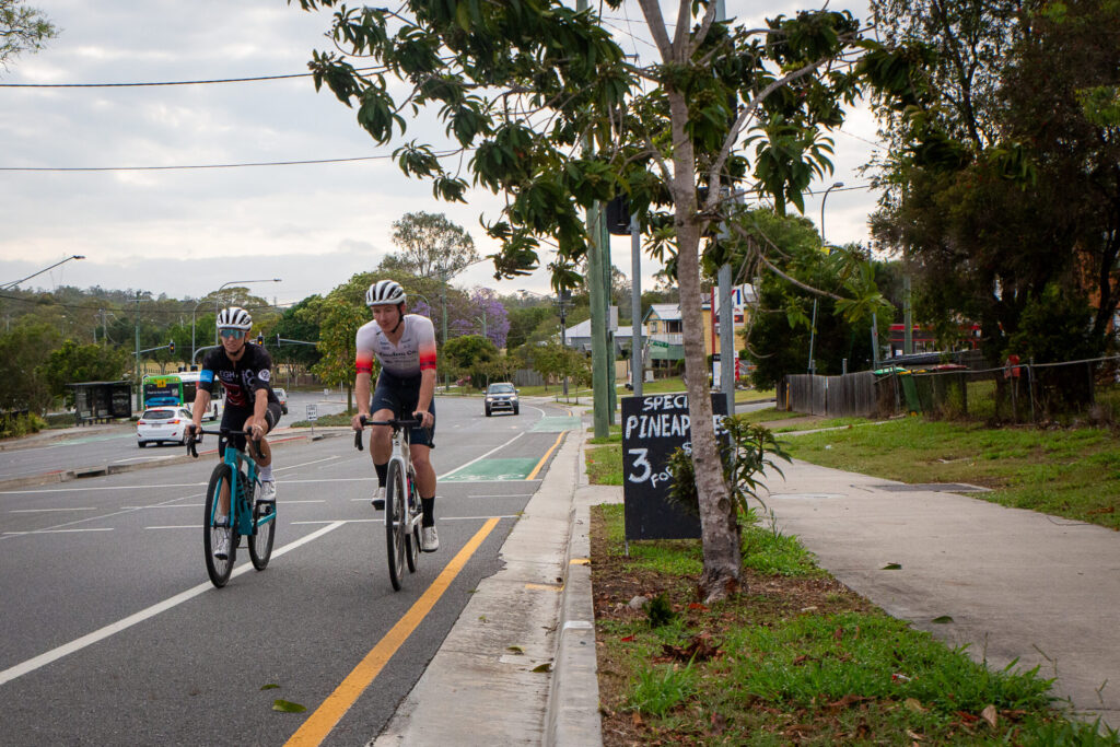
The ride begins near Southern Cross University in Ipswich, but it’s just as easy to roll out from Ipswich train station if you’re travelling in by rail. From here, you’ll follow Old Toowoomba Road before veering right onto Toongarra Road, where dedicated bike lanes make for a comfortable start.

This opening stretch is perfect for warming up: mostly flat, suburban kilometres where you can find your rhythm before the landscape opens up. You’ll pass through Wulkuraka and continue toward Karrabin, crossing the railway line and transitioning into a more rural setting.

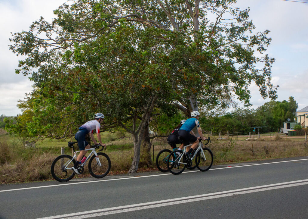
Once you’re onto Karrabin Rosewood Road, the ride begins to feel distinctly regional. This gently rolling road has a good shoulder and long, open views, with farmland stretching toward the horizon. You may encounter the occasional truck, but the wide shoulder provides plenty of space and visibility.

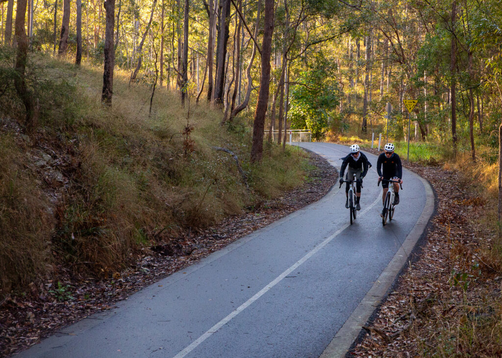
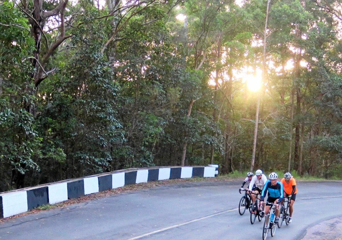
This section is where the ride really comes into its own with mostly quiet roads and a sense of space that’s hard to beat so close to Brisbane. It’s ideal for riding two abreast with friends or enjoying the hum of your tyres on smooth tarmac.

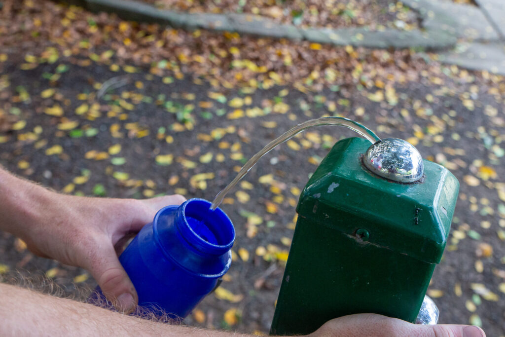
The small township of Rosewood makes a natural mid-ride break. You’ll roll into town with around half the distance in your legs, making it an ideal place to stop at the public bathrooms and top up your bottles. If you’re riding with a group, it’s also a good regrouping point before heading further west.

From Walloon, continue along Karrabin Rosewood Road and turn left into Rosewood. The scenery begins to shift again as you move further into the Ipswich hinterland, with expansive views opening up to your right toward the peaks of the Scenic Rim.

The home run

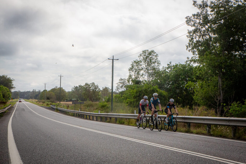
From Rosewood, you’ll join Ipswich Rosewood Road, where the landscape really shines. To your right, you’ll see the edge of the Scenic Rim ranges, rugged peaks that define South East Queensland’s skyline.

Despite the dramatic backdrop, the riding here remains accessible. The roads are mostly flat with gentle rises, making this section ideal for building confidence over longer distances without tackling major climbs. It’s also a fantastic stretch for photos, with wide skies and long sightlines that feel a world away from the city.

After soaking up the views, turn left onto Haigslea Amberley Road, beginning the return leg toward Walloon. This section continues the theme of quiet regional riding, with farmland and open paddocks flanking the road.

Once back in Walloon, you’ll retrace your steps through Karrabin, enjoying the familiar rolling terrain and the sense of having explored a loop of Ipswich’s western outskirts. From there, it’s a straightforward spin back through Wulkuraka and along Toongarra Road to your starting point.

This 50 km loop is a great example of how accessible regional riding can be. With bike lanes out of Ipswich, wide shoulders on country roads, and plenty of opportunities to stop and regroup, it suits a wide range of riders.

Tips for your ride
  • Start early: Morning rides offer cooler temperatures and quieter roads.
  • Carry water: Top up in Rosewood, but start with full bottles.
  • Watch for trucks: Shoulders are generous, but stay alert on Karrabin Rosewood Road.
  • Take photos: The Scenic Rim views are some of the best in the Ipswich region.
  • Use the train: Ipswich Station makes this an easy car-free ride option.

Samford Valley Road Explorer

This is another ride that can be ridden from public transport – with the route starting from Ferny Grove station. Of course, you could join onto the Kedron Brook cycleway quite easily as well if you wanted to ride out from Northern Brisbane.

Heading west from Ferny Grove station, this route follows the old rail line and the Samford Cycle Link. The Cycle Link is sealed through the rail trail into the Samford Valley – and once onto McLean Road South on the other side, you also pass the Camp Mountain Rail Disaster memorial – this is still Queensland’s biggest rail tragedy, where the train ran off the tracks in May 1947.

At the T intersection, turn left into Camp Mountain Road. This slight rise tends to a slight descent before a 90 degree left into Upper Camp Mountain Road. Some of the properties on your left are larger and mostly unsubdivided – there is also an ecological research facility on your right!

This road is undulating until a right hand turn onto Richards Road, and a dog leg to Westbourne Avenue. This is a wide road with plenty of room for riders as it travels from Wights Mountain to Highvale. While there are many other roads to turn into, most of these are dead ends – but if you have a gravel bike, many do connect on a network of trails.

At the next intersection turn left into Moonlight Avenue. Follow the route and keep an eye out for a pass through on the right. There are some horse step overs you may need to navigate – but this side quest keeps you off the main road! Onto the base of Kareela Avenue, climb upwards, turn left onto Hulcombe Road and follow it to Ryder Road, and the causeway over Dawson Creek.

At the end, turn right onto Samford-Mt Glorious Road and then left into Showgrounds Drive. Turn right into Westwood Drive and follow this local road through to Mt O’Reilly Road, and then left onto Gibbons Road. Having traced the southern and western edge of Samford Valley you are now on the (extended) return leg.

Gibbons Road does get narrower but it is only a 60km/h road – at the end turn left into the bike lane on Samford-Dayboro Road. This has been widened as part of a major refurbishment along Eatons Crossing Road, which you need to cross traffic on the uphill to turn right on. Due caution is required.

Follow the bike lane then turn right onto Bunya Road for a fun descent to cross the South Pine River. Stay on this road until you turn right on Woodhill Road and right again onto Tarnook Drive. Follow the route back to Ferny Grove station – or onto your next ride if you are joining on to the Kedron Brook Cycleway or another ride.

Noosaville to Twin Waters

The Sunshine Coast’s Iconic Ride

Perhaps the most scenic ride on the Sunshine Coast, and a BQ favourite this out and back ride is a must do! Beginning at Noosaville you will start picking up pace quickly, but be sure to stop and admire the views of Mount Coolum – you can even stop at the lookout. Continue along until Twin Waters, Pacific Paradise where you can begin your journey back. But not before stopping at Mudjimba for some coffee!

The ride is undulating and an intermediate level of fitness is required, especially if planning on riding there and back. You will most likely pass many cyclists as it is a well known cycling route in the region and has ample shoulder.

Brisbane River Loop

Another Brisbane Favourite!

Riding along the Brisbane River and soaking in the city views – you really can’t beat it! Whether it be an early morning start, during the day or after work you will often find cyclists doing the River Loop.

While there are many variations of the loop depending on where you start we have included a strava ride below which you can use as a guide. The route includes a combination of bikeways & on-road riding but will ensure you take in the city’s most loved suburbs. You can also do this loop in either direction!

Mt Coot-tha

The Famous “Coot-tha Loop”

If you live in Brisbane (or surrounds) you’ve probably heard of Mt Coot-tha. It’s the unofficial cyclists “spot” where riders come together at all times of the day, on all different types of bikes.

Beginning at the base of Mt Coot-tha on Sir Samual Griffith Drive, you can ride this loop in either direction depending on the challenge you are after. Be rewarded by amazing views at the summit lookout & even enjoy a cup of coffee (or gelato!) at the cafe on top of the mountain.

Most Brisbane locals use Mt Coot-tha loops as a unofficial training ground & often do multiple laps, with many a challenge being held on the mountain.

Noosa Tri Course

Ride the Coast

Starting from Noosa Heads this course route will take you through Tewantin and finally to Cooroy – a real Sunshine Coast adventure.

Not to be attempted by beginners this route can be challenging & requires a reasonable level of fitness. Starting from the Lions Park at Noosa Parade follow Noosa Parade & Gympie Terrace to Tewantin and onto Cooroy Noosa Road.

A moderate 3km climb up Gyndier Drive to Sunrise Road is a beautiful section to cycle & makes you feel one with the forest! Once on Sunrise Road, turn right and head to Cooroy Noosa Road. Turn around at Swift Rd & ride back through Tewantin along Gympie Tce, right onto Weyba Road, left onto Noosa Parade & end with a coffee!

Redcliffe Peninsula

A Classic SEQ Ride

Redcliffe has always been a popular cycling destination for those in South-East Queensland. With the beautiful scenery, the smell of the ocean & great cyclepaths there’s no wonder why!

This loop goes around Scarborough, Woody Point, Clontarf & Kippa-ring & is a popular training route for cyclists. Due to the low elevation this is also a great route for beginners or those looking to stretch the legs.

Ipswich 100

Whilst the Ipswich 100 is an event, it’s a route you can ride any time of the year.

The Ipswich 100 is a great ride through breathtaking countryside inside the Scenic Rim on open undulating roads. If you feel like 100km is too much, there is a great 50km route option for the casual rider. Expect about an hour of riding on a mostly flat route with a few hills.

There are a few different ways to ride this route, so we recommend looking at the Ipswich 100 about page here to learn more.

Related ride: Castle Hill