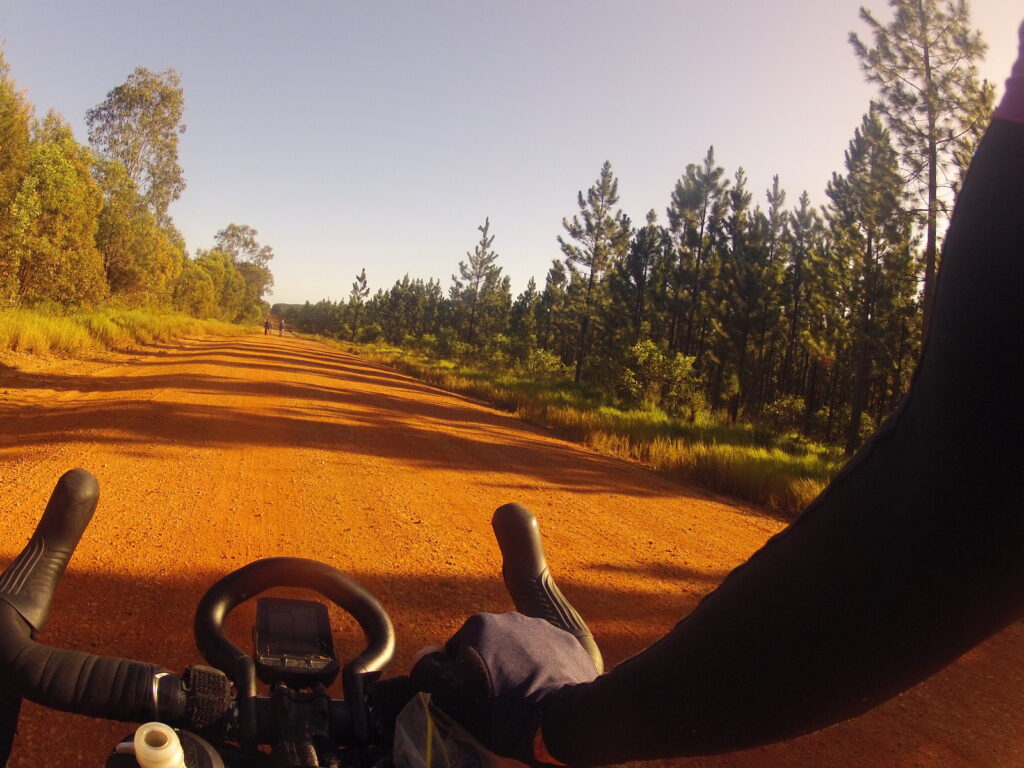
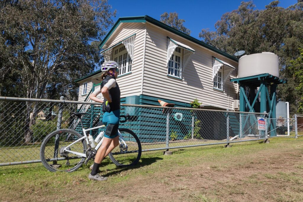
This ride has been submitted and it looks like a cracking gravel ride near Gympie. It is mainly gravel roads, with a fairly steady first half. The back half is loaded with climbing. If you’re savvy with a map or GPS, there are options to short cut the route if it all becomes a bit much! Alleycats CC suggest that this is a ride for advanced riders.
As is the case for longer rides like this, pack enough water and supplies to be self-sufficient. Fraser Grill is on the route but at the time of writing is not open.
Here at Bicycle Queensland we love a ride that is a good loop, as every vista is new, and every metre that rolls under your tyres is a metre of discovery. Given the size of our state, there are some incredible rides to map out, but the trick can be making sure food and water is available on what looks to be a cracker of a longer loop.
The ride
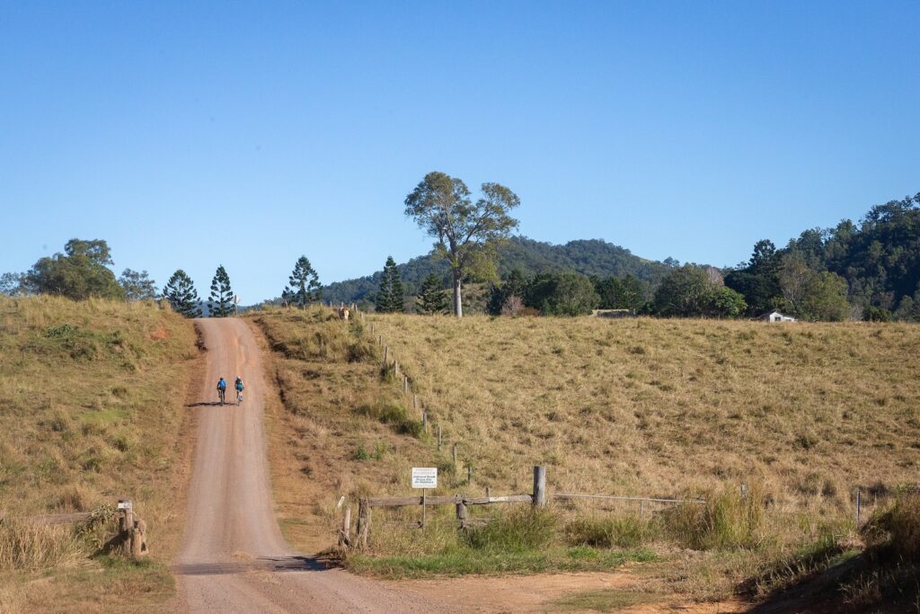
This ride starts in Kilcoy, head north on Kennedy St out of town and then onto Mount Kilcoy Road. This passes via larger properties on a flat valley road, before the route turns abruptly skyward soon after the 20km mark and the most challenging climb of the route commences.
Strap yourselves in and engage low gear – this is a long one! You’ll gain nearly 500m in the next 4km. While it’s all double track and an open 4WD route, it is steep and has some washouts at different points. On the ridgeline you are now on an undulating route – watch for deep puddles after rain, but this is mostly fantastic adventure gravel riding.
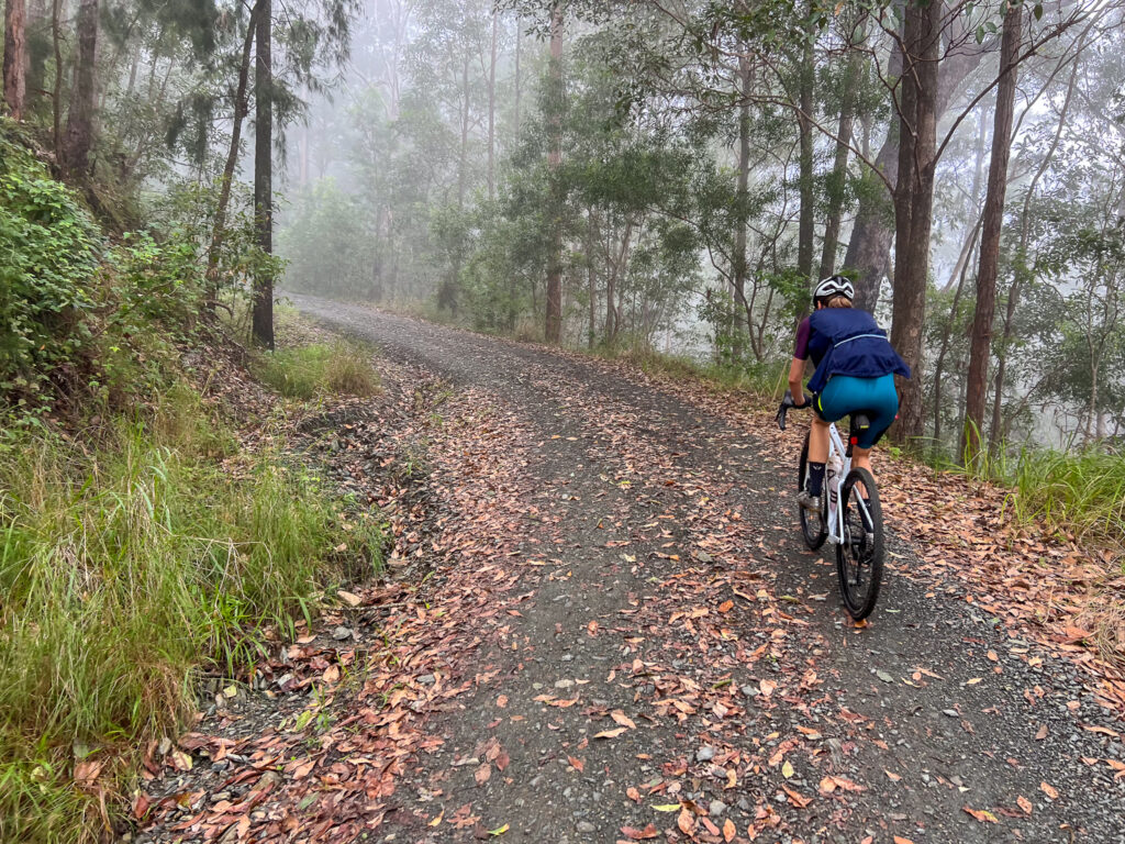
At about 44km you join the sealed Kilcoy-Murgon road, and ride through the remnant forest to Jimna. Beware of vehicles on this route – it is lightly travelled but is a main connecting route. Turn right to Jimna at the 50km mark. There’s a small store in town, a park, toilets and Jimna Base Camp at the old school. This is open on weekends for coffee and snacks – you can also book to camp here or even book out the old Headmaster’s House if you prefer a real roof. With a basic camp kitchen, Jimna Base Camp is ideally placed to make this route a weekend bikepacking route.
Whether you leave Jimna the following day or after a coffee, do so with full bottles and pockets. The next resupply is back in Kilcoy in about 58km time. Climb School road and rejoin Kilcoy-Murgon Road, which is now dirt. You’ll ride past the old fire tower at and 56km turn hard left and onto a descent. This road is mostly narrow, with some bitumen but mostly dirt. Expect to see livestock on the road on the lower sections – enjoy the descent but be wary of oncoming traffic!
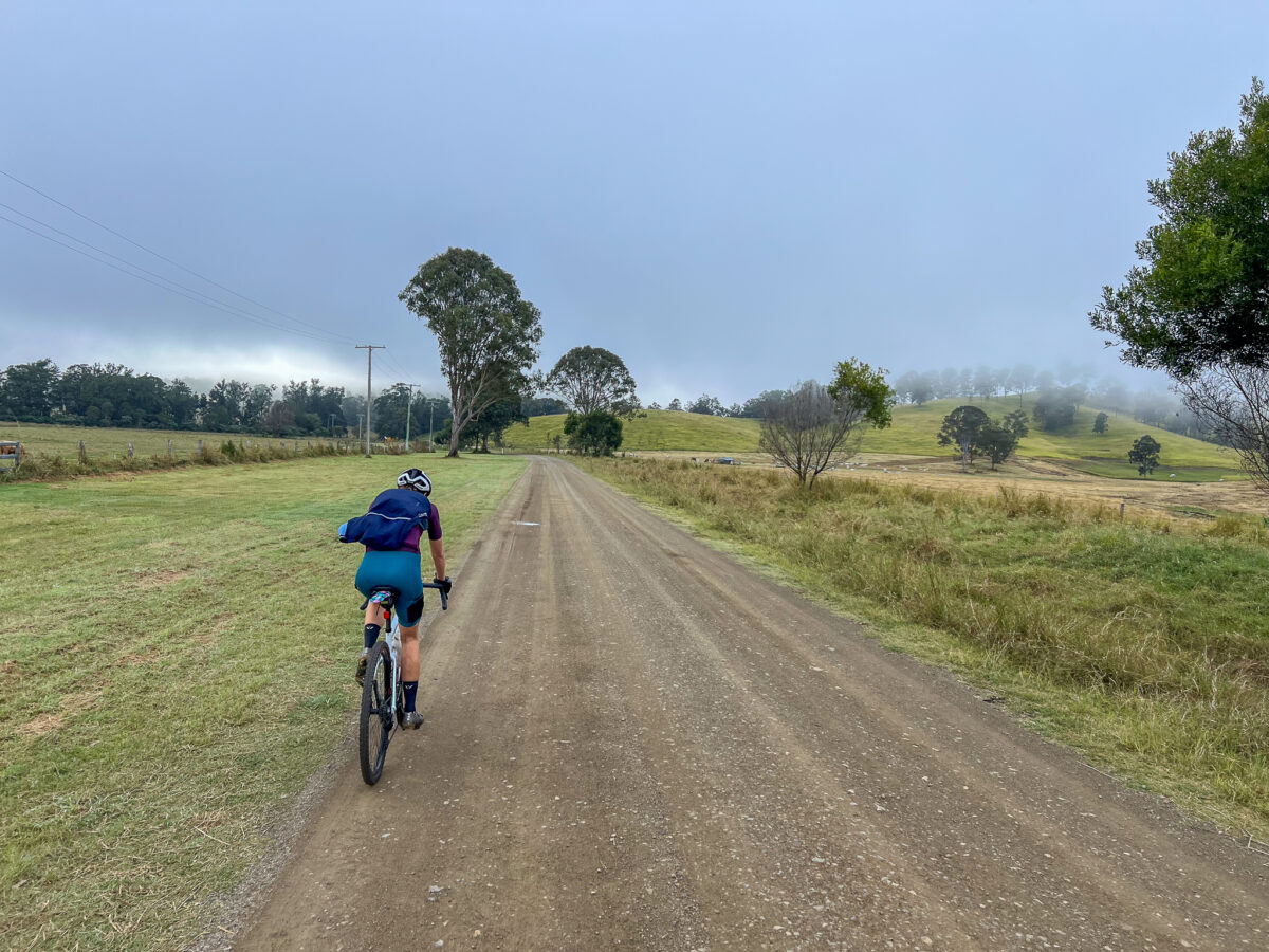
This valley goes through Monsildale, one of the earliest areas to be settled outside of Brisbane. With under 20 inhabitants, you should have a quiet ride down Monsildale Road and along Sheep Station Creek. A couple more routes join the dirt road and there are some minor climbs. At the 90km mark you reach Murgon-Kilcoy Road and return to Kilcoy. This is a main road so ride with awareness of traffic as you head back to Kilcoy.
How to Get There
Kilcoy is about an hour and a half from Brisbane or a little over an hour from the Sunshine Coast. You can park on William St, or near the yowie on Hope St. There’s a bakery and IGA in town to stock up on supplies. You can ride from Caboolture train station, but some parts of the route are less enjoyable by bike. You can even ride to Kilcoy from the Brisbane Valley Rail Trail, using Gregors Creek Road, north of the Yimbun Rail Tunnel.
When to go
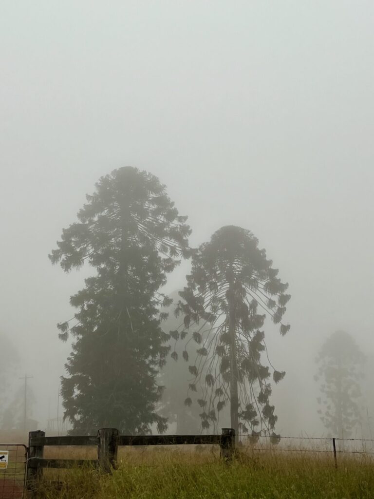
We rode the route in late May, which was sublime. But March through to October will likely be great. Avoid the route after extended wet weather, as you do pass through the Conondale Ranges on the way to Jimna. They stay a bit wet!
Eating and drinking
You have a few options in Kilcoy, from the pub through to CJ’s Pattiserie and beyond. Jimna is very limited, with a weekend kiosk and coffee at Jimna Base Camp
South East Queensland is awash with adventurous gravel rides. Anyone who scans Google Maps or Strava will see countless potential routes. But a heatmap doesn’t necessarily show a great ride, just a route someone has completed. It is an incomplete story, and you never truly know if it is a good story or a tale of hike-a-bike, lantana and barbed wire fences.
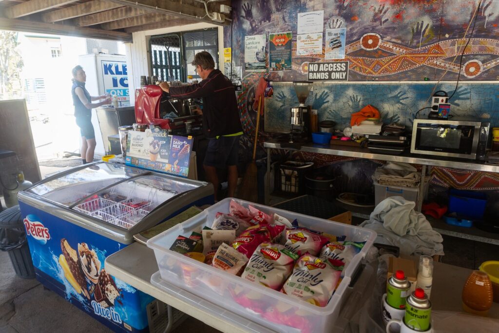
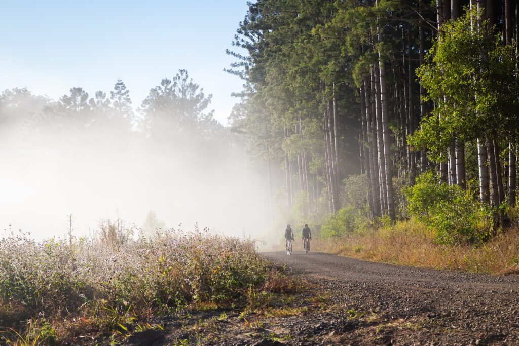
Thankfully, this one or two day route from Kenilworth, in the Sunshine Coast Hinterland, is a stunning ride of about 120km. Do note that this is a very taxing one day gravel ride, and the route used by the Sunday Creek Classic gravel race. There is only one re-supply point for snacks and water at Jimna, approximately half way. Jimna has a small shop, but also Jimna Base Camp. The old school is now a refuge for motorbike riders, events, bikepackers and gravel riders. It is only open on the weekends, but offers camping or even the old headmaster’s house to rent out.
Starting the ride
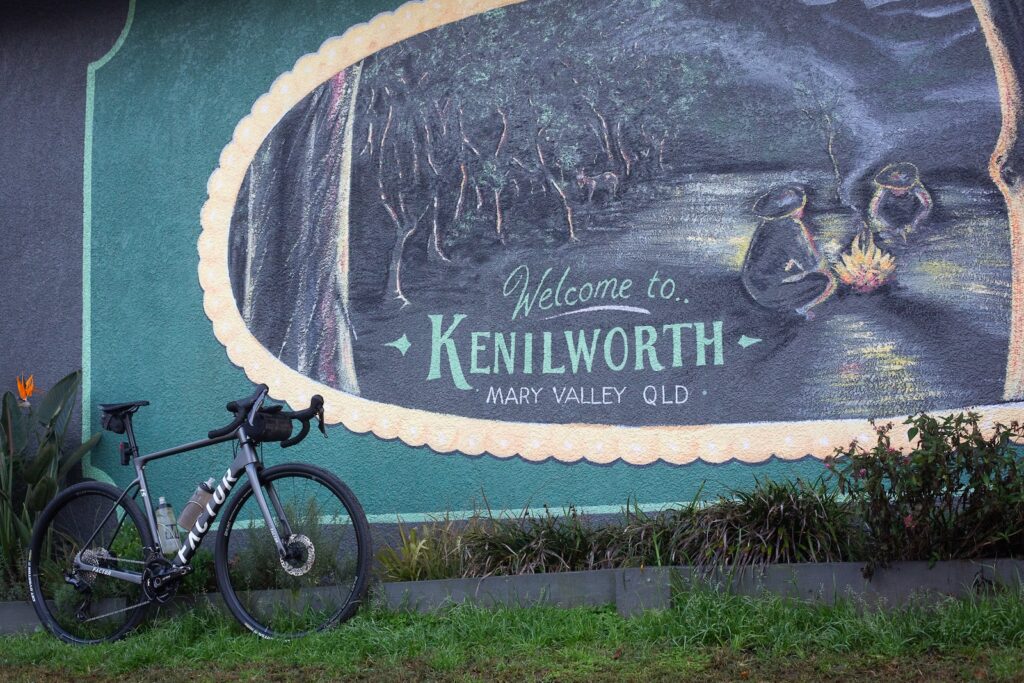
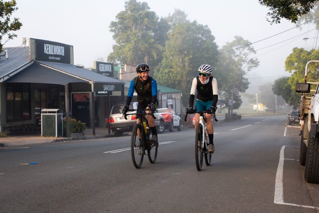
This ride starts and finishes in Kenilworth. If you park near the Kenilworth showgrounds, you are just around the corner from the bakery and the super market. The showgrounds are a great place to camp as well, making an early start a bit easier. There are toilets, showers and you’re right next to all the amenities of Kenilworth. It’s just $20 for an unpowered site.
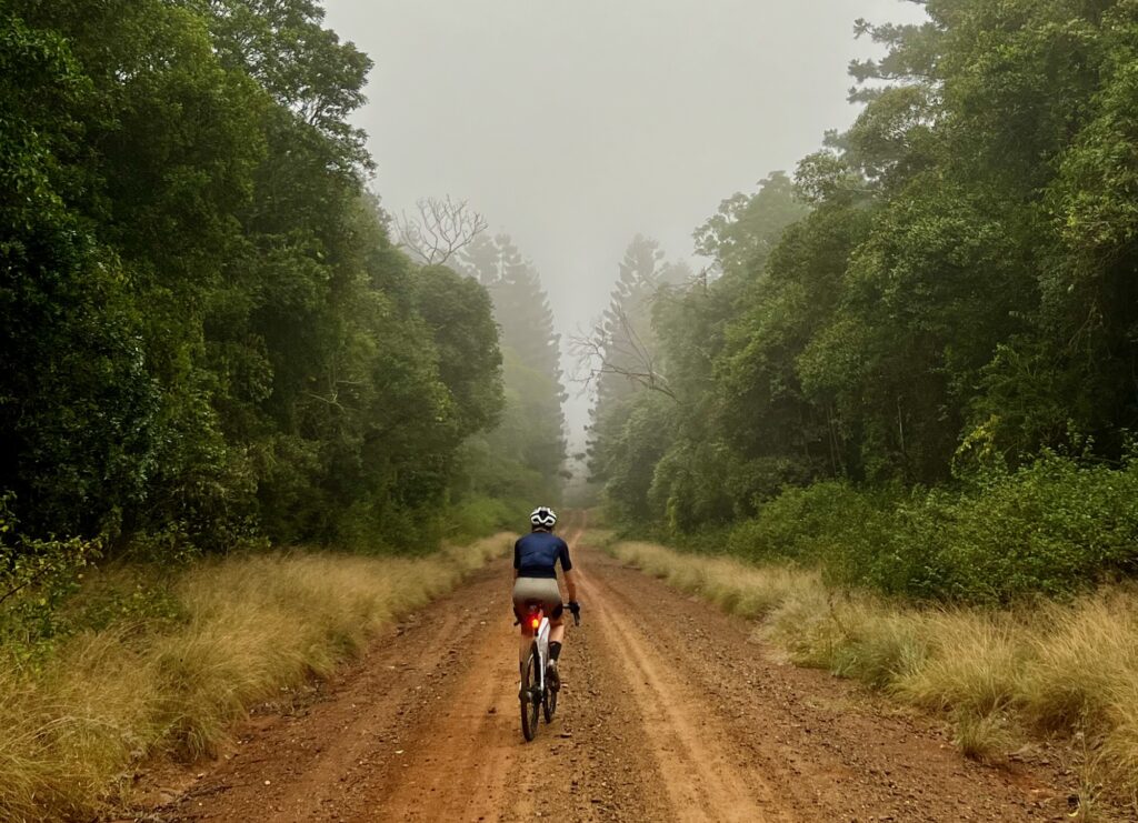
Carry at least 1.5L of water as you start this ride – if you have greater capacity, carry more. This is an advanced ride so if you plan to take all day to get to Jimna, carry sufficient supplies for the day. Head north on Elizabeth Street, and stick left to carry on north on Kenilworth Brooloo Road. After a few kilometres, turn left onto Pullen Lane, a dirt road.
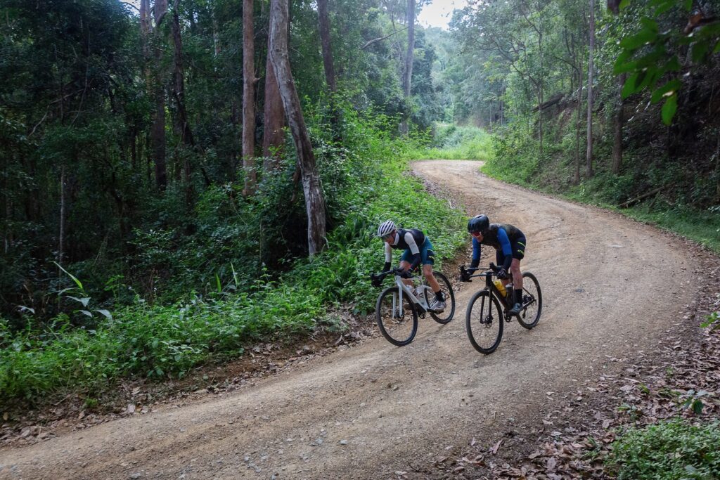
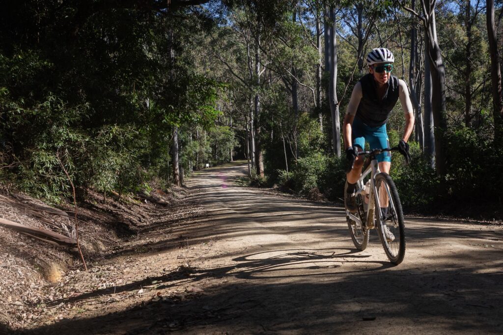
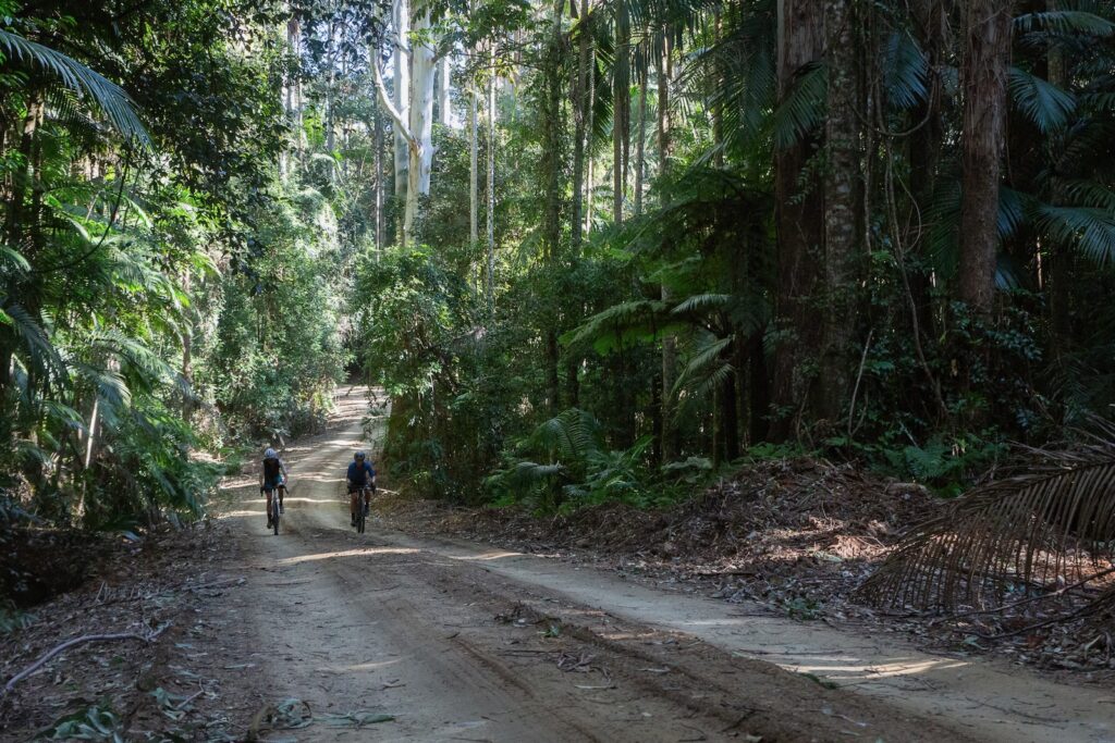
Pullen Lane cuts through the forest of hoop pine (Araucaria cunninghamii) and the route will navigate you to Coonoongibber Creek Road after a couple of minor climbs and descents. This is predominantly all smooth riding gravel – however after rain red dirt could be heavy clay, with water in gullies. These are open roads, so keep your daytime running lights on for visibility.
You’ll emerge from the forest and turn left onto Aracaria Creek Road, which becomes Derrier Creek Road as it passes through large horse properties along the flat valley. Turn left onto the bitumen of Yabba Creek Road. This is a quiet road but still a fairly main one, so be aware of any vehicles.
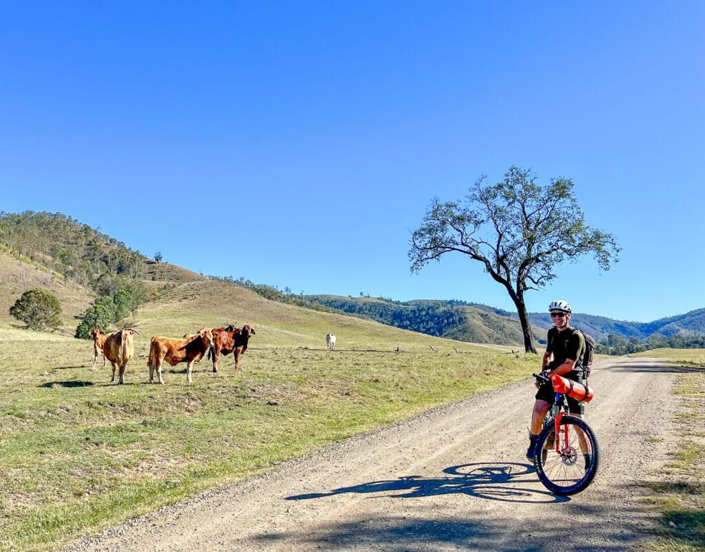
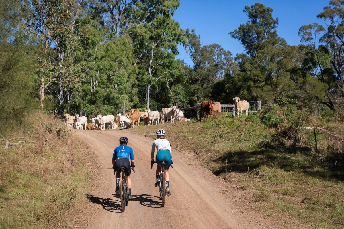
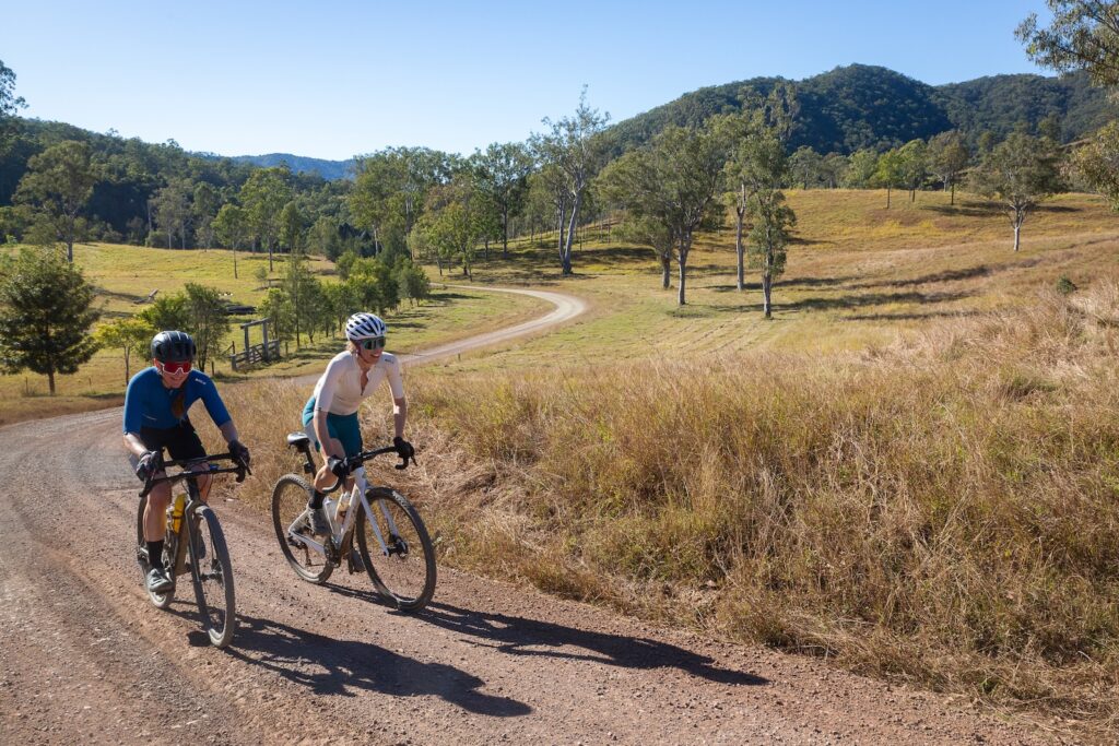
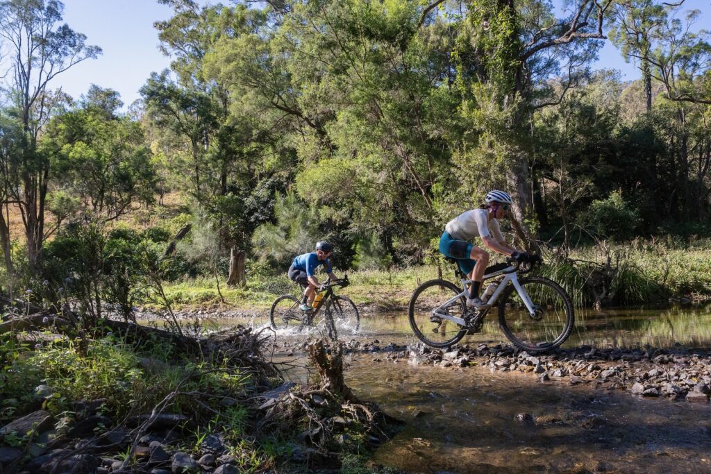
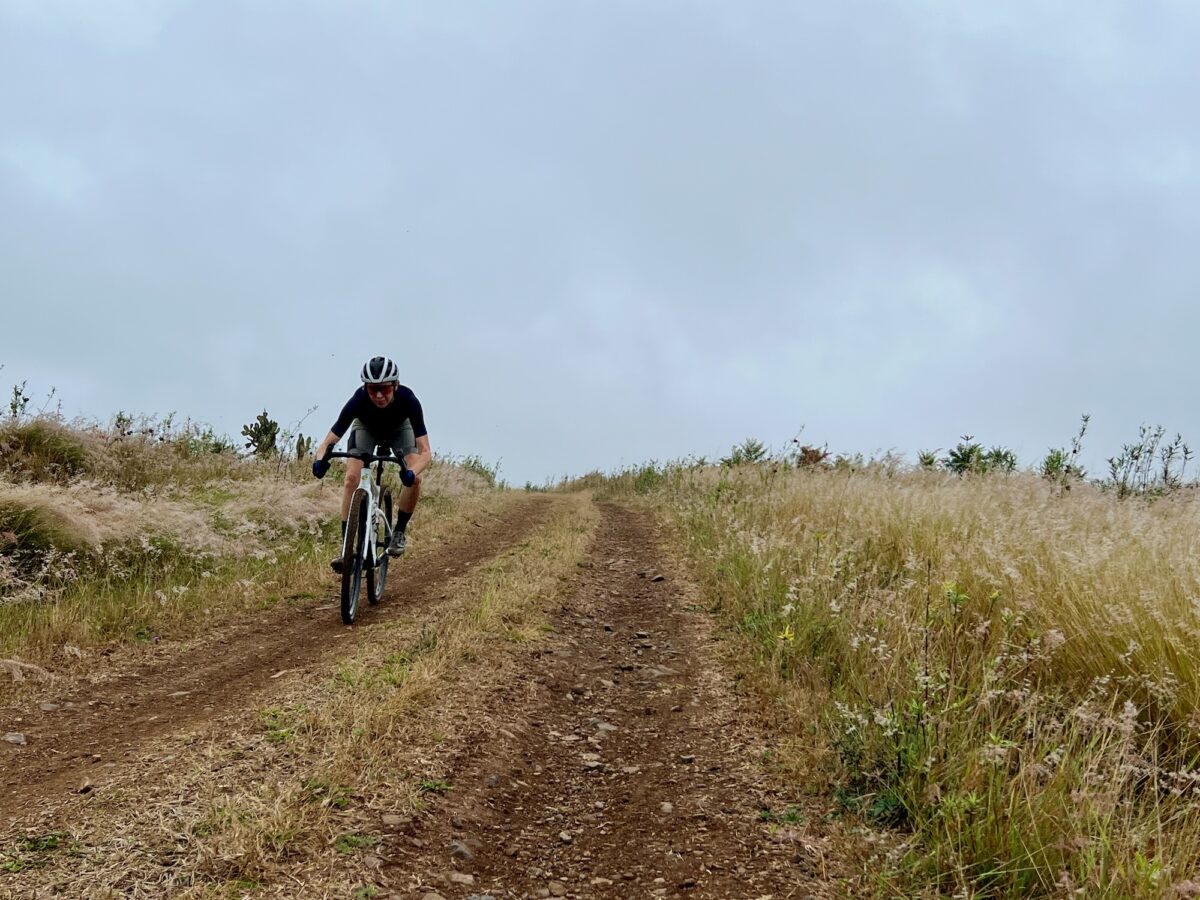
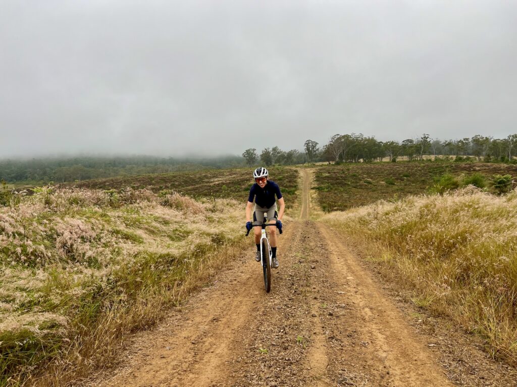
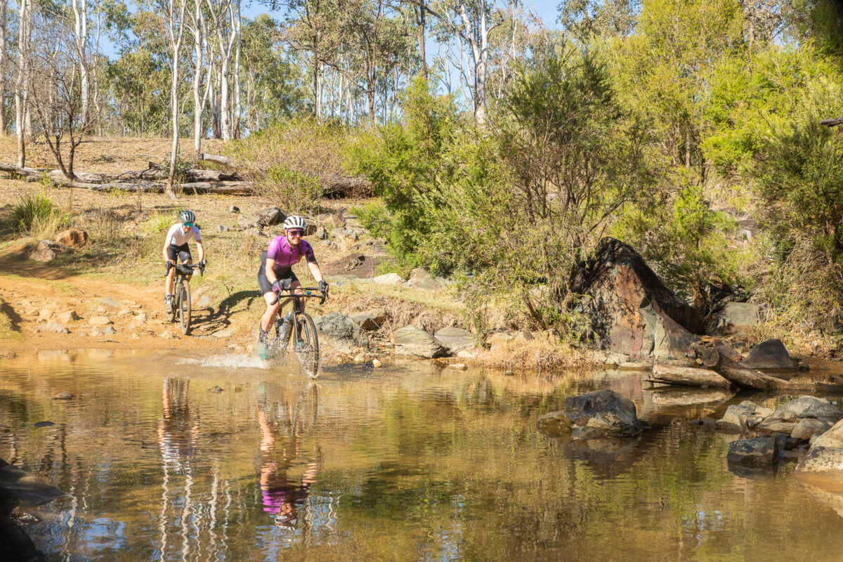
You quickly turn right onto Bella Creek Road, and leave bitumen for a long time! This road leads you up the valley through Bella Creek Station, and onto the infamous Mt Buggery. It is mostly a gentle ride up the valley, across cattle grids and alongside the river. There are numerous crossings, and at times there may be stock on the road. Things are about to get hard, so it is time to eat and drink.
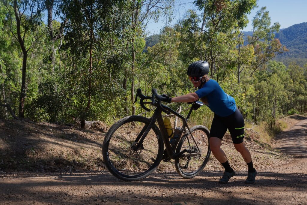
At about the 38km point, you start to climb properly. Not the small rises and descents you have been doing, but steep climbing in a series of ‘you’ve got to be kidding me!’ ramps. This road was graded in May 2024, meaning if you have the legs and lungs you can ride it on a gravel bike. Maybe. Expect to walk some sections. A mountain bike may have more success, but if you’re loaded, expect to walk a couple of sections. Remember, there are two kinds of riders: those who walk, and liars.
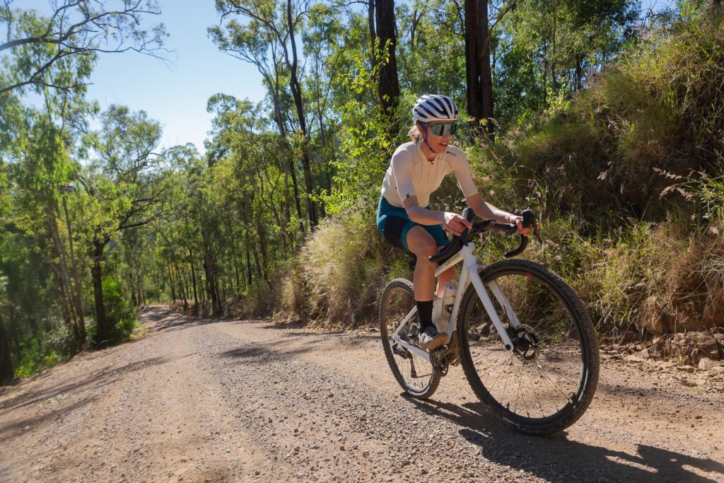
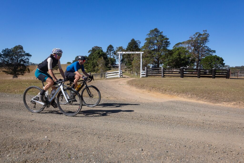
As you near the top and pass through some remnant rainforest, you may get a glimpse of Lake Borumba to your left. But don’t be surprised if you miss it while staring at your stem. The next section is rolling gravel roads, in and out of tree cover. You pass through a couple more major properties, including Kingham, on your way to turning left at Murgon-Kilcoy road at the 58km mark.
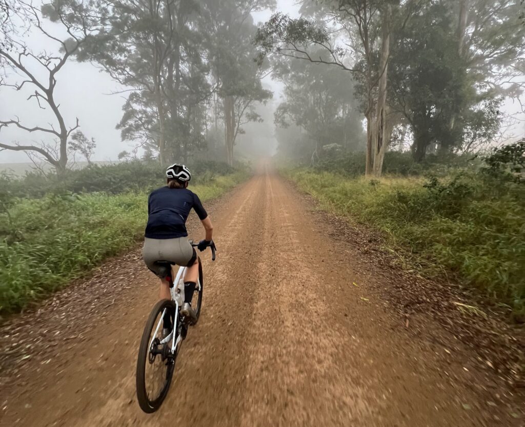
This is an unsealed road at this point and will have some traffic – but not much. It can have a lot of corrugations as it climbs and descends the ridgeline to Jimna. Turn left on School Road at about the 73km point. This is sealed road and it is just a past the iconic Jimna Fire Tower.
Jimna Base Camp is open on the weekends, with coffee, snack food to buy, plus toilets, showers, camping and accommodation. This place really is your saviour on a one or two day ride! It’s not quite all downhill from here, so fuel up and stock up for the return leg.
Climb on the road out of Jimna and turn left again onto the main road. You’re in a mix of remnant and regrowth forest, with some towering pines and rainforest species either side of the road. The gravel race takes a different variant out of Jimna with some singletrack and doubletrack – but that is not covered on the provided route.
Take a left onto Sunday Creek Road, and a quick road descent to cross a bridge before a steep climb out. Get used to this rhythm of climbing and descending, as the route profile doesn’t show the true breadknife nature of the next 25km or so.
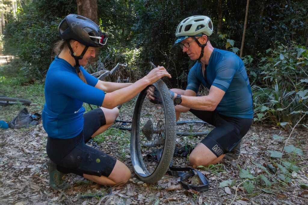
You will mostly be climbing, and entering temperate forest with the associated weather. Again, avoid this route after prolonged rain. Red dirt makes the going very hard, and a lot of rock balast has been added to help make the road more weatherproof. This can create a lot of fatigue even for experienced riders, and the rocky balast can cause pinch flats and tyre cuts for those ready to send it all the way back to Kenilworth.
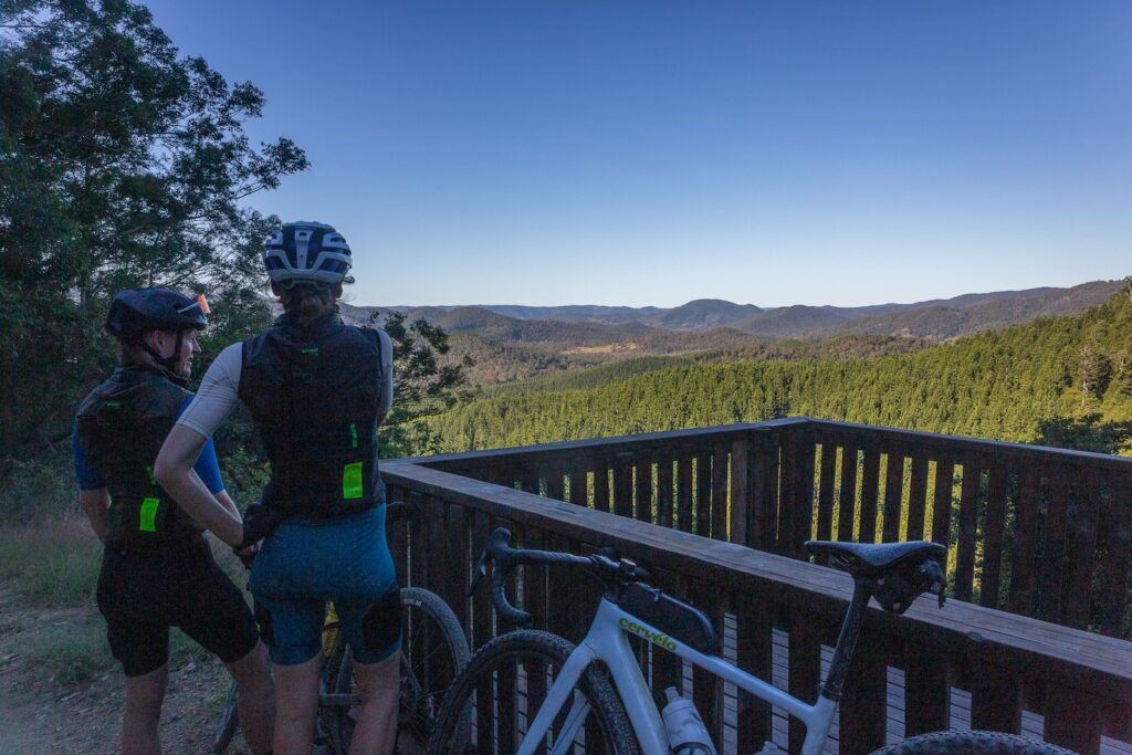
Respite will come though. From the 90km point the route is almost all downhill save for small rises, and at the 103km point you have a steep, uninterupted downhill. This is a popular route for 4WDs so as always, stay left. But if you get the chance, pull in to the lookout before your final plunge into the valley at Charlie Moreland Campground. Depending on the weather, it might be a great time for a swim!
From here, the technical challenges are over. It’s a grind back out to the road on a mix of smooth gravel and bitumen. Turn left onto Maleny-Kenilworth road for the final stretch back to Kenilworth and a chance to refresh and refuel!
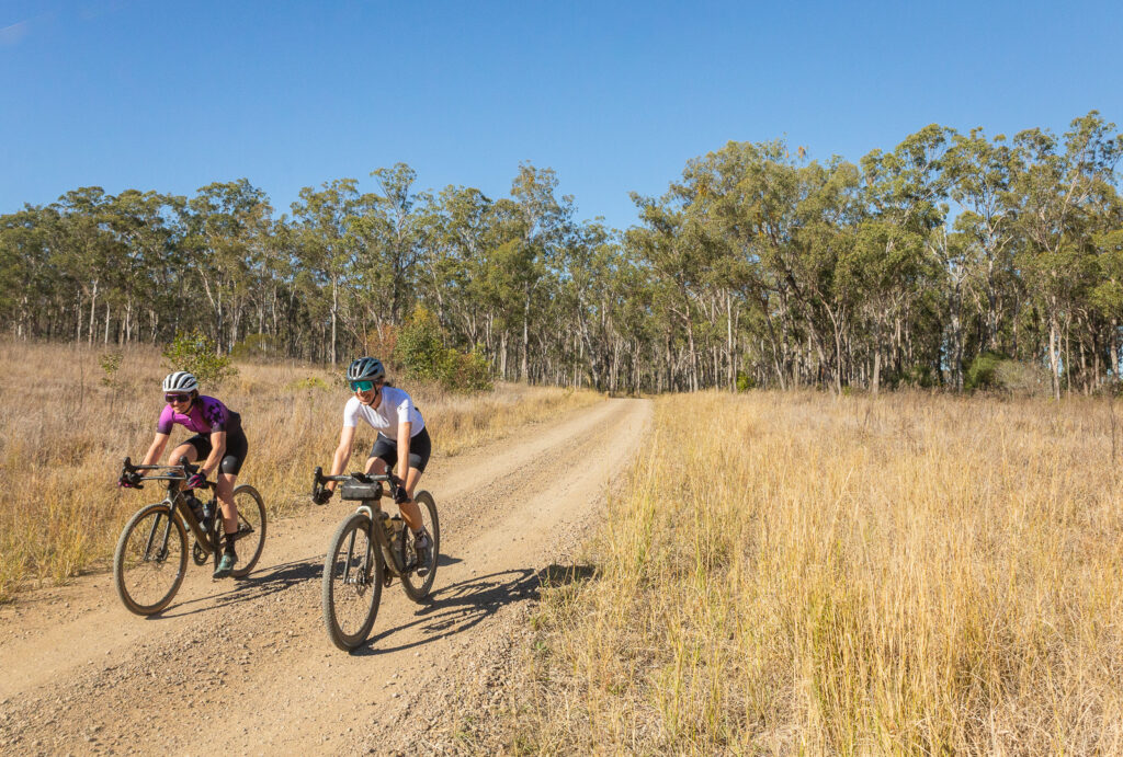
This route starts and finishes in Linville on the Brisbane Valley Rail Trail, and uses much of the rail trail between Linville and Yarraman, while exploring back routes behind Blackbutt. It is a great gravel bike ride but also suited to a mountain bike. At about 100km with 1284m of climbing, it will likely be at least a half day ride. But you do finish with the run off the range from Benarkin back to Linville, so it is a fast finish!
This route is a suggestion from Chevonne Arrowsmith, owner of the Rail Trail Refuge, Linville. It is one of her favourite rides to do to explore the areas beyond the rail trail. If you’re a Bicycle Queensland member, you can stay for 3 consecutive nights for the price of 2 between Sunday and Thursday. Contact Chevonne if you want to book this offer: hello@railtrailrefuge.com.au
Riding the route
Starting in Linville, head north along the Brisbane Valley Rail Trail, through Benarkin and onto Blackbutt. This is where you will divert from the BVRT. Follow Hart St across the D’Aguilar Highway. Turn right into Hayne Kite Millar Road, this is about 24.5km from Linville.
This is a slight rise, moving from bitumen to dirt, with some beautiful old Bunya Pines on the property on the left.
The road heads upwardsPast tha Bunya pines… and you’re back on dirt
After 3km take a very hard left onto Nukku road. It’s cruly sharp, on a downhill into an uphill. You have been warned! This dirt road is the high point of the route at about 500m. You’re about to lose a lot of that, with a right hand turn into a forest trail at 30.5km, this is just before Nukku Road joins Blackbutt Crows Nest Road. This fantastic section of gravel riding is in plantation forest – some still standing, and some cleared. Watch out for kangaroos on the descents!
The route turns right onto Mort Douglas Road, with the BVRT insight. You could easily shortcut to head back from here if you were having any problems, but we suggest sticking to the route, turning left onto Gilla Road and left again onto Kooralgin Gilla Road. This stretch is longer through rural properties, with a return to asphlat at times. At the 46.5km mark you turn right onto Yarraman Kooralgin Road, before ducking back into the forest at Yarraman Cemetary, at about 50.4km into the ride. The steep descent and climb leads you to the D’Aguilar Highway, where you cross to ride through the back of Yarraman towards Ben Smith Street and the start of the Brisbane Valley Rail Trail.
With full water bottles and pockets, it’s time to get home, following the Brisbane Valley Rail Trail back to Blackbutt, Benarkin and onto Linville to finish.
The Brisbane Valley Rail Trail has become well-known as a safe, off-road route with very few technical challenges for most riders. While thousands of riders tackle some or part of the rail trail every year, not everyone knows how many great bike rides exist that use part of the BVRT along with back roads, old stock routes and other trails. The northern end of the rail is brimming with opportunities for different rides and opens the door to longer, adventurous routes as well.
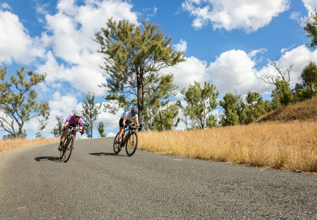
The Linville – Nanango loop is one such ride. It’s not technically demanding, but at 126.7km with 1790m of climbing – it is a ride suited to experienced gravel riders. Or better yet – those who want to do a rewarding 2 day route, and either camp or book a hotel in Nanango.
Climbing the range from Linville to BenarkinJust follow the signs! The Link Trail is well-marked.Crossing the river on the Link Trail.
The ride
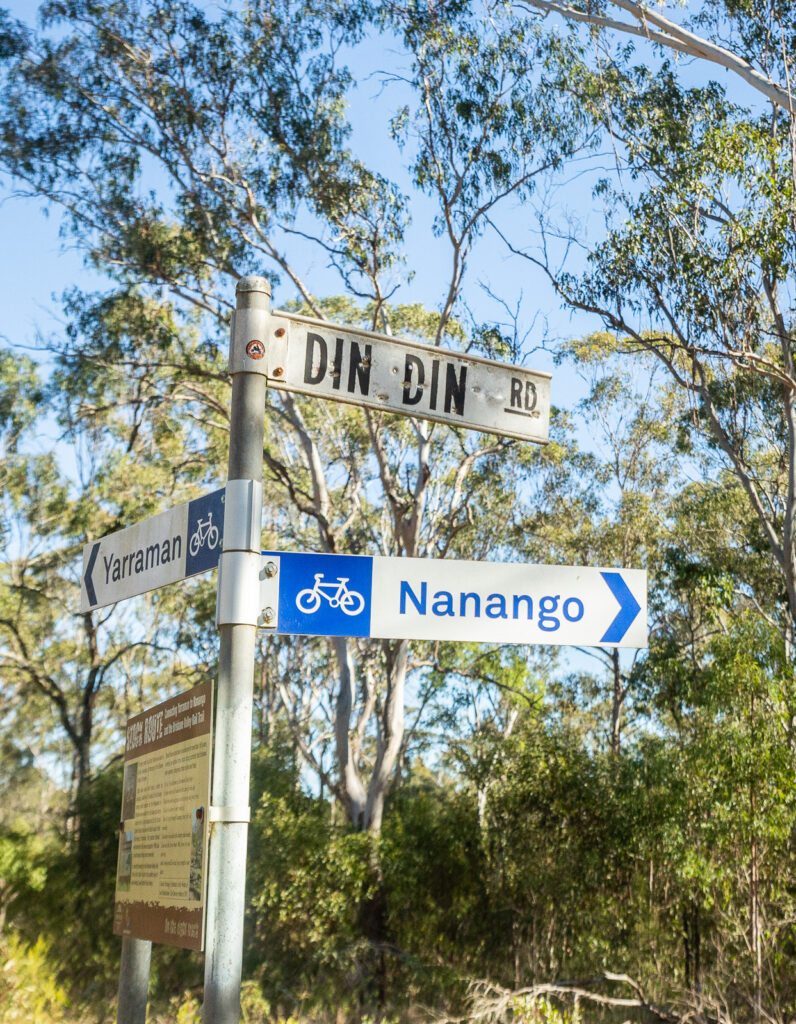
Starting from Linville, follow the BVRT towards Benarkin and then Blackbutt. The climbs has a few gullies but is mostly very consistent at a gentle gradient. Blackbutt is the last spot to top up on water or food before Nanango – so fill up! About 2km before the trail ends at Yarraman, take the right hand turn towards the Link Trail. This 2WD dirt road leads to a left hand turn on Din Din Road, with a bike sign for Nanango. This section is champagne gravel – but it is an open road so pay attention. The route does get more rugged as it becomes old Yarraman Road, descending to and crossing Yarraman Creek. Don’t attempt this route after heavy rain!
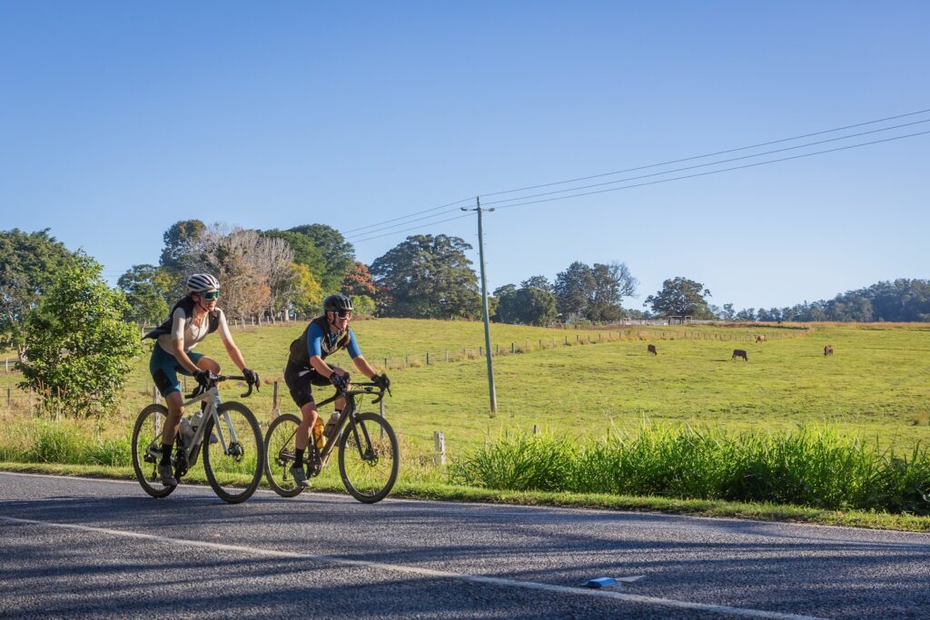
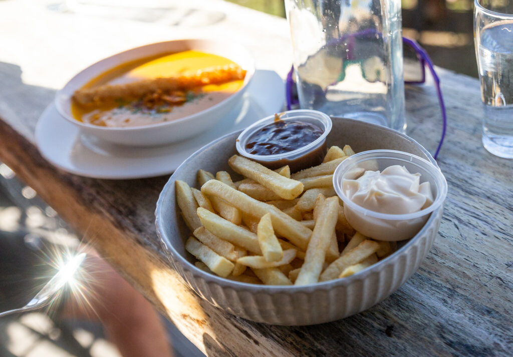
This road takes a steady climb out of the water crossing, through classic Queensland country. Follow this road towards Nanango, turning right onto Burnett St and left onto Drayton St to end up right in Nanango for food and drink – and lodgings if you’re staying the night.
The ride out of Nanango is straight forward, heading east on Drayton St and then left onto Mount Stanley Rd. This will be marked as the NAN1, one of three marked routes in the area thanks to David Kenny. Slowly but surely you gain elevation as you turn onto Bullcamp Rd, although in time the climbs become pinch climbs, on a narrow bitumen road that takes you to 530m – the ride’s high point.
A fast descent down River Rd links together narrow corners and high speeds, ending on a dirt road in the valley near the start of the Brisbane River. With just under 40km to go, you have nearly that many river crossings. With causeways to cross the river, recent rainfall will dictate how wet your feet get!
The dirt road becomes bitumen and while the kilometres tick by pretty well, you may note that as a one day ride the last stretch drags on. Despite running downhill to Linville, there are a couple of climbs that are cruel on tired legs to get into Linville, with a quick run towards the hotel to round of the ride.
This is a classic loop to ride in this area – perfect for a gravel bike, fine on a mountain bike (if not slow to finish) and totally unsuitable for a road bike. You are fairly isolated at times do it’s best done with friends, and with a few essentials like a first aid kit and essential spares.
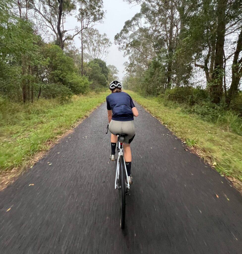
Inland from the popular beaches of Queensland’s Sunshine Coast lies the Mary River Valley, home to the Mary Valley Rail Trail. This shared use recreational trail runhs between Brooloo and Imbil, tracing a popular route for visitors and locals alike. The 4.7km length is stage one of the Mary Valley Rail Trail, with two further stages proposed to travel to Kandanga and then Amamoor.
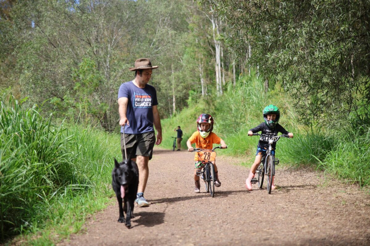
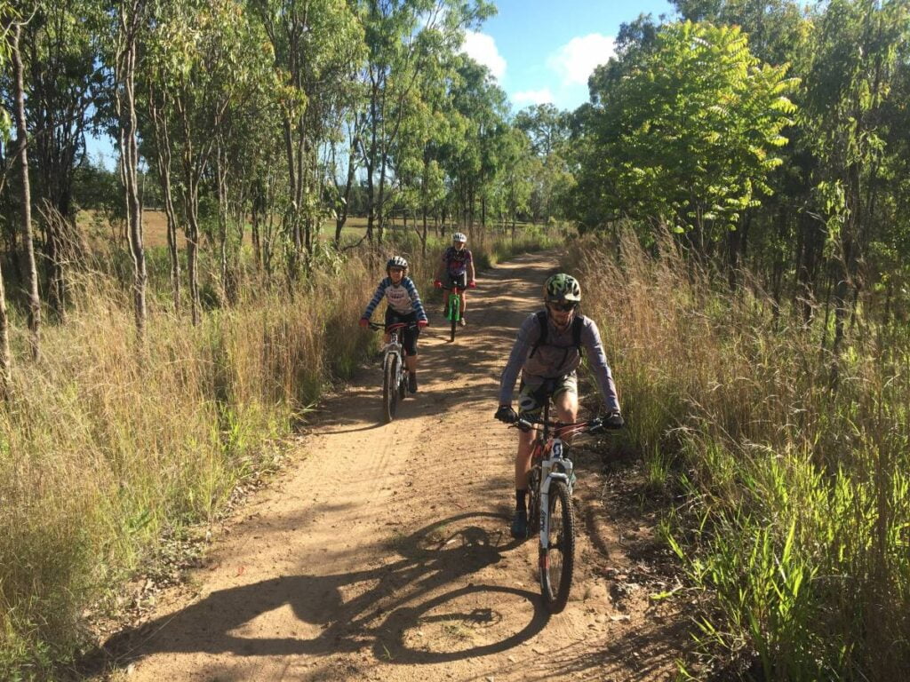
The Brooloo to Imbil section is open for use by bike riders, walkers, wheelchair users and horse-riders. The trail surface is compacted gravel and is accessible to people of most abilities, making it perfect for a family ride or a place to take someone who is yet to truly understand the joy of cycling.
You can start at either end, with carparking available at both trailheads. Drinking water, toilets, and other facilities are located 200m from the Imbil trailhead in Imbil village, where you will also find a general store, bakey, pub and more. There is no water or public toilets at Brooloo.
Photo: Jan Watt
The rail trail follows the old railway corridor, and remains pretty flat as it winds and carves through the surrounding hilly landscape. The environment is diverse, from open grassy woodland to Hoop Pine plantations to rainforest to farmland. One of the highlights of the trail is the bellbird colony that resides permanently in the middle section of the trail. There have even been over 4000 trees planted by the local user group – the net result is more habitat and lots of shade along the route.
Southern Queensland Cycle Trails Inc. is the umbrella organisation working to introduce more riders to the riding potential atop the Great Dividing Range. Bringing together projects like High Country Gravel South Queenslandand the Downs Burnett Cycle Trail, the group exists to promote the full spectrum of riding opportunities across the wider region. They aim to make it easier for riders to graduate from the rail trail and into genuine gravel adventure.
To that end, that have a new website with a wide range of mapped routes, and maps are being delivered to a range of bike shops in South East Queensland, so riders can get a greater understanding of the extent of gravel riding in the south east of the state. It lists a series of signed routes on the abundant gravel roads around Crows Nest and bey0nd.
On ‘Where to Ride’ we have reserved ‘mountain biking’ to mean singletrack, so we are classifying this one as a gravel ride. Our test rider rode his hardtail rigid mountain bike, so there is certainly a blurring of categories here. Experienced gravel riders will have no technical concerns on these great back roads.
Our route starts and finishes in Crows Nest, which is a bustling little town of about 2000, and multiple cafe and bakery choices.
We left town on a bright and clear November morning, heading out on Three Mile Road towards Crows Nest National Park, which has a campground, cascades swimming hole, a lookout and a waterfall to recommend it. On this occasion we skipped the delights of the National Park, but our test rider fondly remembers a bikepacking trip in 2014 that included a chilly night spent at the campground.
Soon after the National Park turnoff, Three Mile Road becomes gravel, but its a good surface and a wide enough road for two cars to easily pass each other. The next 6km is a steady climb to Three Mile Road and then Dahl Road, and then a return toward Crows Nest on Back Creek Road. There are some steep pinches on Dahl Road, which becomes a very minor road indeed in these sections. We suspect that more bikes use this road than cars, it is very quiet.
Just before arriving back in town we once again turn away, and gain some height again on the bitumen on Pierces Creek Road. A left onto Byers Road yields one of those classic viewpoints in farming country with the road encased in an avenue of trees as we look out over field cleared for grazing. Then the hardest hill of the whole loop as we struggle our way to the top of Gunters Hill. The surface is red dirt, and is definitely dry weather only.
Byers Road becomes Pit Rd, and we roll down past the Crows Nest Pistol Club, still enjoying the views on the way down.
We rejoin the bitumen for a few hundred metres on the New England Highway and then a quick left for the climb up Plainby Road.
At the top of Plainby Road we take a left on Bald Hills Road, and begin to admire the scenery visible on both sides of the road. This was our last and toughest challenge for the day, and most of the rest of the ride is downhill back to Crows Nest.
We arrived back in town ready to try out the pastries at My Little Blueberry. If you are in Crows Nest on the wrong day for My Little Blueberry, the Nest Cafe will look after you just fine too.
For most rides on the Tablelands it pays to be well prepared with climbing gears on your bike … there are plenty of hills. No local bike rider is going to agree with the idea that the Tablelands is flat.
But if you are looking for a flatter (not flat) ride, then a rail trail is always a good place to look.
The Atherton Tablelands Rail Trail at present runs officially from Walkamin to Atherton. We have listed the route from Mareeba, which doubles the length of the trail. This is section is informal only … you won’t get lost because a rail formation is pretty easy to follow, but there’s no signage or rail trail facilities.
Mareeba is 400 metres above sea level and Atherton is almost 800 metres. So plan your rides with this knowledge in mind. If you are doing this ride point-to-point we definitely recommend starting in Atherton.
But if this will be an out-and-back loop, make Atherton your halfway stop, and finish with the gentle downhill section back to your starting point.